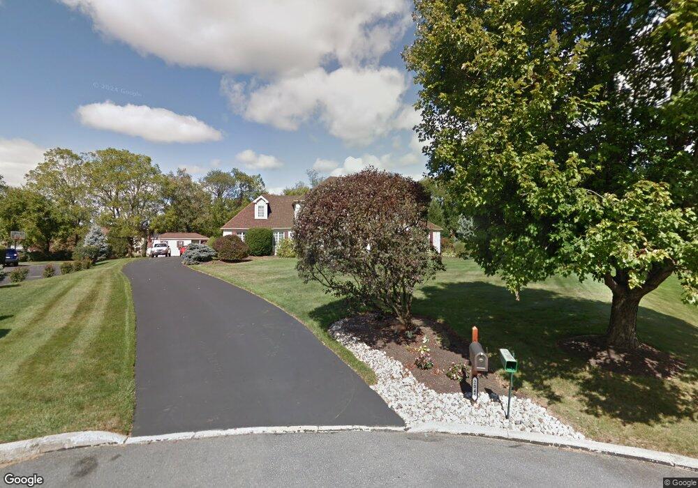
2045 Dougherty Cir Macungie, PA 18062
Estimated Value: $649,770 - $762,000
5
Beds
3
Baths
2,874
Sq Ft
$242/Sq Ft
Est. Value
About This Home
This home is located at 2045 Dougherty Cir, Macungie, PA 18062 and is currently estimated at $695,943, approximately $242 per square foot. 2045 Dougherty Cir is a home located in Lehigh County with nearby schools including Wescosville Elementary School, Lower Macungie Middle School, and Emmaus High School.
Ownership History
Date
Name
Owned For
Owner Type
Purchase Details
Closed on
Oct 3, 2017
Sold by
Rhoads Gregory J and Rhoads Carolyn S
Bought by
Rhoads Gregory J
Current Estimated Value
Home Financials for this Owner
Home Financials are based on the most recent Mortgage that was taken out on this home.
Original Mortgage
$248,500
Outstanding Balance
$205,558
Interest Rate
3.82%
Mortgage Type
New Conventional
Estimated Equity
$490,385
Purchase Details
Closed on
Aug 29, 2003
Sold by
Bourbon Robert L and Bourbon Sheila
Bought by
Rhoads Gregory J and Rhoads Carolyn S
Home Financials for this Owner
Home Financials are based on the most recent Mortgage that was taken out on this home.
Original Mortgage
$263,900
Interest Rate
6.02%
Mortgage Type
Purchase Money Mortgage
Purchase Details
Closed on
Mar 25, 1985
Bought by
Bourbon Robert L and Bourbon Sheila M
Create a Home Valuation Report for This Property
The Home Valuation Report is an in-depth analysis detailing your home's value as well as a comparison with similar homes in the area
Home Values in the Area
Average Home Value in this Area
Purchase History
| Date | Buyer | Sale Price | Title Company |
|---|---|---|---|
| Rhoads Gregory J | -- | None Available | |
| Rhoads Gregory J | $329,900 | -- | |
| Bourbon Robert L | $37,500 | -- |
Source: Public Records
Mortgage History
| Date | Status | Borrower | Loan Amount |
|---|---|---|---|
| Open | Rhoads Gregory J | $248,500 | |
| Closed | Rhoads Gregory J | $263,900 |
Source: Public Records
Tax History
| Year | Tax Paid | Tax Assessment Tax Assessment Total Assessment is a certain percentage of the fair market value that is determined by local assessors to be the total taxable value of land and additions on the property. | Land | Improvement |
|---|---|---|---|---|
| 2025 | $9,255 | $362,500 | $72,400 | $290,100 |
| 2024 | $8,954 | $362,500 | $72,400 | $290,100 |
| 2023 | $8,775 | $362,500 | $72,400 | $290,100 |
| 2022 | $8,567 | $362,500 | $290,100 | $72,400 |
| 2021 | $8,385 | $362,500 | $72,400 | $290,100 |
| 2020 | $8,305 | $362,500 | $72,400 | $290,100 |
| 2019 | $8,164 | $362,500 | $72,400 | $290,100 |
| 2018 | $8,057 | $362,500 | $72,400 | $290,100 |
| 2017 | $7,916 | $362,500 | $72,400 | $290,100 |
| 2016 | -- | $362,500 | $72,400 | $290,100 |
| 2015 | -- | $362,500 | $72,400 | $290,100 |
| 2014 | -- | $362,500 | $72,400 | $290,100 |
Source: Public Records
Map
Nearby Homes
- 4698 Berwyn Ln
- 2621 Saddle Ln Unit 21C
- 2173 Brookside Rd
- 2153 Isabel Ln
- 2041 Gregory Dr
- 2096 Gregory Dr
- 2475 Houghton Lean Unit 2
- 2518 Stanford Cir
- 5398 Princeton Rd
- 2560 Gracie Lone
- 5238 Dartmouth Dr
- 5200 Spring Ridge Dr E
- 1385 Brookside Rd
- 1800 Minesite Rd
- 1850 Briarcliff Terrace
- 5770 Fresh Meadow Dr
- 5041 Cypress St
- 2362 Cross Creek Rd
- 1081 Barnside Rd
- 1290 Country Club Rd
- 4964 Bridlepath Dr
- 2025 Dougherty Cir
- 4950 Bridlepath Dr
- 2050 Dougherty Cir
- 4938 Bridlepath Dr
- 1985 Fallow Ct
- 4978 Bridlepath Dr
- 1980 Emerald Isle Cir
- 2000 Hidden Valley Rd
- 2060 Dougherty Cir
- 4926 Bridlepath Dr
- 4957 Bridlepath Dr
- 4943 Bridlepath Dr
- 4971 Bridlepath Dr
- 4897 Waterford Dr
- 1975 Fallow Ct
- 4929 Bridlepath Dr
- 4901 Waterford Dr
- 4893 Waterford Dr
- 4910 Bridlepath Dr
Your Personal Tour Guide
Ask me questions while you tour the home.