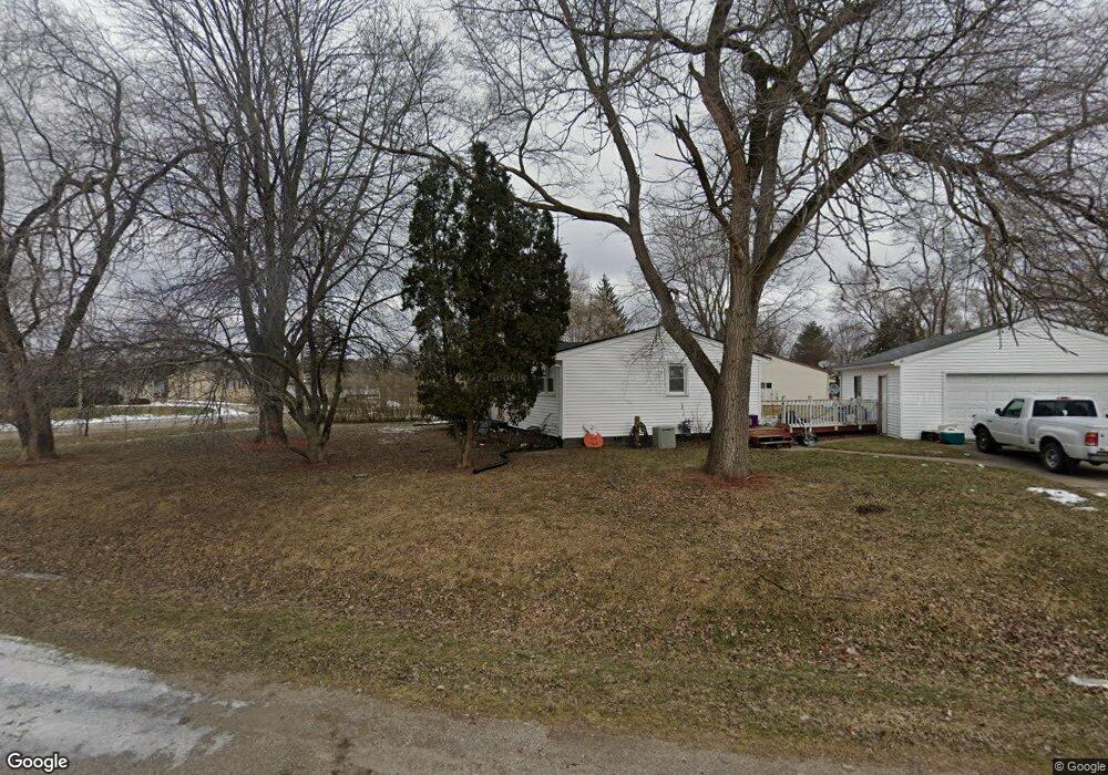
2045 Kent Dr Davison, MI 48423
Estimated Value: $160,000 - $194,000
3
Beds
1
Bath
913
Sq Ft
$200/Sq Ft
Est. Value
About This Home
This home is located at 2045 Kent Dr, Davison, MI 48423 and is currently estimated at $182,783, approximately $200 per square foot. 2045 Kent Dr is a home located in Genesee County with nearby schools including Thomson Elementary School, Gates Elementary School, and Hill Elementary School.
Ownership History
Date
Name
Owned For
Owner Type
Purchase Details
Closed on
May 20, 2010
Sold by
Kish Roger J
Bought by
Genesee County Real Estate Llc
Current Estimated Value
Purchase Details
Closed on
Jan 30, 2009
Sold by
K A N Properties Llc
Bought by
Ostrander Robert D and Ostrander Theresa M
Purchase Details
Closed on
Oct 8, 2001
Sold by
Ostrander Robert D and Ostrander Theresa M
Bought by
K A N Properties Llc
Purchase Details
Closed on
Sep 21, 2001
Sold by
Rohn Mikel R and Rohn Mary M
Bought by
Ostrander Robert D and Ostrander Theresa M
Create a Home Valuation Report for This Property
The Home Valuation Report is an in-depth analysis detailing your home's value as well as a comparison with similar homes in the area
Home Values in the Area
Average Home Value in this Area
Purchase History
| Date | Buyer | Sale Price | Title Company |
|---|---|---|---|
| Genesee County Real Estate Llc | -- | None Available | |
| Ostrander Robert D | -- | None Available | |
| Oxford Bank | -- | None Available | |
| K A N Properties Llc | -- | -- | |
| Ostrander Robert D | $76,000 | Metropolitan Title Company |
Source: Public Records
Tax History
| Year | Tax Paid | Tax Assessment Tax Assessment Total Assessment is a certain percentage of the fair market value that is determined by local assessors to be the total taxable value of land and additions on the property. | Land | Improvement |
|---|---|---|---|---|
| 2025 | $2,605 | $65,400 | $0 | $0 |
| 2024 | $461 | $62,500 | $0 | $0 |
| 2023 | $439 | $56,100 | $0 | $0 |
| 2022 | $2,326 | $51,900 | $0 | $0 |
| 2021 | $2,314 | $47,600 | $0 | $0 |
| 2020 | $402 | $46,200 | $0 | $0 |
| 2019 | $395 | $41,600 | $0 | $0 |
| 2018 | $2,002 | $39,900 | $0 | $0 |
| 2017 | $1,949 | $39,900 | $0 | $0 |
| 2016 | $1,883 | $36,300 | $0 | $0 |
| 2015 | -- | $33,300 | $0 | $0 |
| 2012 | -- | $28,900 | $28,900 | $0 |
Source: Public Records
Map
Nearby Homes
- 7079 Houghton Dr
- 0 Schoolcraft Dr
- 7244 Schoolcraft Dr
- 7120 Lapeer Rd
- 7046 Donelson Trail
- 2238 Antrim Ct
- 2223 Antrim Dr
- Lot 80 Antrim Dr
- 2231 Antrim Dr
- 2424 S Vassar Rd
- 2031 Woodland Pass
- 1388 Transue Ave
- 6377 E Atherton Rd
- 6259 Mercury Ave
- 1207 Kettering St
- 0 E Court St
- 1234 E Court St
- 6123 Lapeer Rd
- 2231 Champion Ln
- 6072 Burton Estates Dr
Your Personal Tour Guide
Ask me questions while you tour the home.