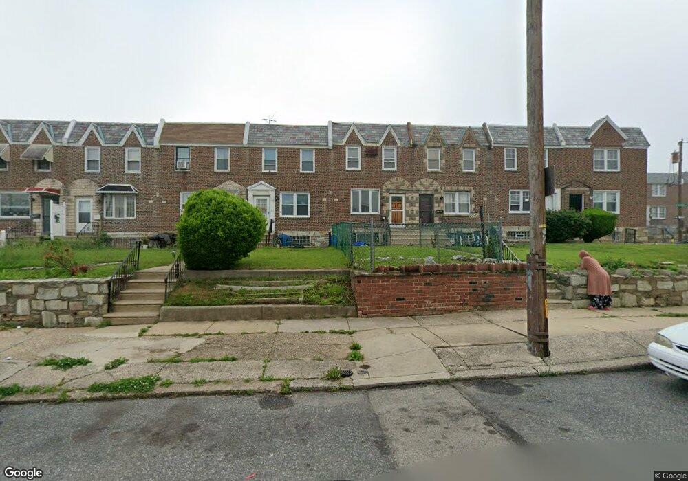
2045 Lardner St Philadelphia, PA 19149
Mayfair NeighborhoodEstimated Value: $227,648 - $257,000
3
Beds
1
Bath
1,176
Sq Ft
$202/Sq Ft
Est. Value
About This Home
This home is located at 2045 Lardner St, Philadelphia, PA 19149 and is currently estimated at $237,662, approximately $202 per square foot. 2045 Lardner St is a home located in Philadelphia County with nearby schools including Lincoln High School, Ethan Allen School, and Blessed Trinity Regional Catholic School.
Ownership History
Date
Name
Owned For
Owner Type
Purchase Details
Closed on
Sep 12, 2006
Sold by
Davis Joan
Bought by
Bullock James
Current Estimated Value
Home Financials for this Owner
Home Financials are based on the most recent Mortgage that was taken out on this home.
Original Mortgage
$135,867
Outstanding Balance
$81,237
Interest Rate
6.59%
Mortgage Type
FHA
Estimated Equity
$156,425
Purchase Details
Closed on
Oct 28, 1999
Sold by
Kurdziel Elaine and Estate Of Rita M Zysk
Bought by
Davis Joan
Create a Home Valuation Report for This Property
The Home Valuation Report is an in-depth analysis detailing your home's value as well as a comparison with similar homes in the area
Home Values in the Area
Average Home Value in this Area
Purchase History
| Date | Buyer | Sale Price | Title Company |
|---|---|---|---|
| Bullock James | $138,000 | None Available | |
| Davis Joan | $59,900 | -- |
Source: Public Records
Mortgage History
| Date | Status | Borrower | Loan Amount |
|---|---|---|---|
| Open | Bullock James | $135,867 |
Source: Public Records
Tax History Compared to Growth
Tax History
| Year | Tax Paid | Tax Assessment Tax Assessment Total Assessment is a certain percentage of the fair market value that is determined by local assessors to be the total taxable value of land and additions on the property. | Land | Improvement |
|---|---|---|---|---|
| 2025 | $2,507 | $217,300 | $43,460 | $173,840 |
| 2024 | $2,507 | $217,300 | $43,460 | $173,840 |
| 2023 | $2,507 | $179,100 | $35,820 | $143,280 |
| 2022 | $1,219 | $134,100 | $35,820 | $98,280 |
| 2021 | $1,849 | $0 | $0 | $0 |
| 2020 | $1,849 | $0 | $0 | $0 |
| 2019 | $1,775 | $0 | $0 | $0 |
| 2018 | $1,685 | $0 | $0 | $0 |
| 2017 | $1,685 | $0 | $0 | $0 |
| 2016 | $1,253 | $0 | $0 | $0 |
| 2015 | $1,211 | $0 | $0 | $0 |
| 2014 | -- | $120,400 | $24,447 | $95,953 |
| 2012 | -- | $15,168 | $1,916 | $13,252 |
Source: Public Records
Map
Nearby Homes
- 2052 Devereaux Ave
- 2140 Stevens St
- 2019 Devereaux Ave
- 2133 Mckinley St
- 2112 Robbins Ave
- 2003 Devereaux Ave
- 6306 Leonard St
- 6200 Cardiff St
- 6340 Calvert St
- 6233 Cardiff St
- 6204 Mershon St
- 2687 Levick St
- 5752 Leonard St
- 6300 Eastwood St
- 6333 Mershon St
- 1622 E Howell St
- 5819 Bustleton Ave
- 5758 Frankford Ave
- 1613 Van Kirk St
- 2001R Mckinley St
- 2043 Lardner St
- 2047 Lardner St
- 2049 Lardner St
- 2041 Lardner St
- 2039 Lardner St
- 2051 Lardner St
- 2037 Lardner St
- 2035 Lardner St
- 2033 Lardner St
- 2048 Devereaux Ave
- 2050 Devereaux Ave
- 2046 Devereaux Ave
- 2044 Devereaux Ave
- 2031 Lardner St
- 2054 Devereaux Ave
- 2042 Devereaux Ave
- 2029 Lardner St
- 2056 Devereaux Ave
- 2038 Devereaux Ave
- 2101 Stevens St