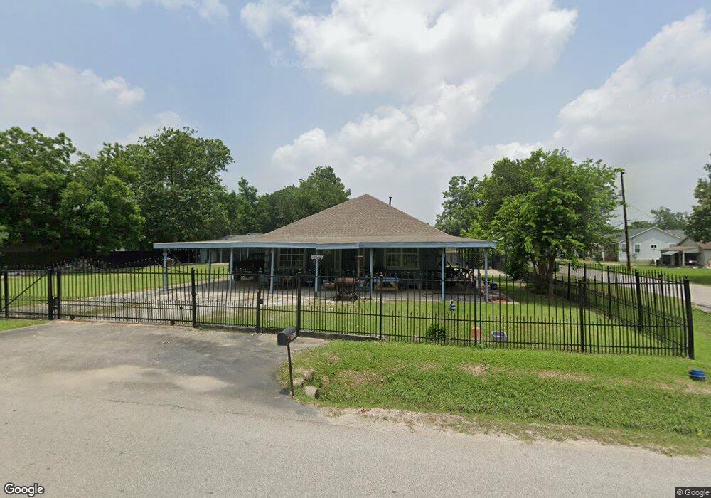
2045 Margaret St Houston, TX 77093
Eastex-Jensen NeighborhoodEstimated Value: $258,000 - $352,104
4
Beds
2
Baths
2,326
Sq Ft
$134/Sq Ft
Est. Value
About This Home
This home is located at 2045 Margaret St, Houston, TX 77093 and is currently estimated at $311,026, approximately $133 per square foot. 2045 Margaret St is a home located in Harris County with nearby schools including Coop Elementary School, Patrick Henry Middle School, and Sam Houston Math, Science & Technology Center.
Ownership History
Date
Name
Owned For
Owner Type
Purchase Details
Closed on
Jul 19, 2025
Sold by
Mancillas Elsa and Mancillas Raul
Bought by
Mancillas Elsa
Current Estimated Value
Purchase Details
Closed on
Apr 19, 2017
Sold by
Ceniceros Gerardo
Bought by
Mancillas Elsa and Mancillas Raul
Purchase Details
Closed on
Mar 31, 2015
Sold by
Mancillas Elsa
Bought by
Ceniceros Gerardo
Home Financials for this Owner
Home Financials are based on the most recent Mortgage that was taken out on this home.
Original Mortgage
$117,820
Interest Rate
3.82%
Mortgage Type
FHA
Purchase Details
Closed on
Sep 29, 1993
Sold by
Walter Sharon D and Fowler Paul E
Bought by
Mancillas Elsa
Create a Home Valuation Report for This Property
The Home Valuation Report is an in-depth analysis detailing your home's value as well as a comparison with similar homes in the area
Home Values in the Area
Average Home Value in this Area
Purchase History
| Date | Buyer | Sale Price | Title Company |
|---|---|---|---|
| Mancillas Elsa | -- | None Listed On Document | |
| Mancillas Elsa | -- | None Available | |
| Ceniceros Gerardo | -- | None Available | |
| Mancillas Elsa | -- | -- |
Source: Public Records
Mortgage History
| Date | Status | Borrower | Loan Amount |
|---|---|---|---|
| Previous Owner | Ceniceros Gerardo | $117,820 |
Source: Public Records
Tax History Compared to Growth
Tax History
| Year | Tax Paid | Tax Assessment Tax Assessment Total Assessment is a certain percentage of the fair market value that is determined by local assessors to be the total taxable value of land and additions on the property. | Land | Improvement |
|---|---|---|---|---|
| 2025 | $3,251 | $303,527 | $165,538 | $137,989 |
| 2024 | $3,251 | $360,236 | $155,040 | $205,196 |
| 2023 | $3,251 | $295,321 | $121,125 | $174,196 |
| 2022 | $4,471 | $239,777 | $100,938 | $138,839 |
| 2021 | $4,302 | $197,840 | $72,675 | $125,165 |
| 2020 | $4,063 | $187,816 | $72,675 | $115,141 |
| 2019 | $3,860 | $187,816 | $72,675 | $115,141 |
| 2018 | $2,520 | $138,675 | $55,718 | $82,957 |
| 2017 | $2,794 | $110,492 | $55,718 | $54,774 |
| 2016 | $2,794 | $110,492 | $55,718 | $54,774 |
| 2015 | $1,223 | $67,864 | $13,970 | $53,894 |
| 2014 | $1,223 | $67,864 | $13,970 | $53,894 |
Source: Public Records
Map
Nearby Homes
- 10512 Exeter St
- 10514 Exeter St
- 2332 Margaret St
- 2315 Langley Rd
- 2415 Goodloe St
- 1829 Skinner Rd
- 2318 Cresline St
- 1908 Little York Rd
- 9910 E Hardy Rd
- 1731 Schilder Dr
- 2122 Kowis St
- 2633 Hollis St
- 1002 Grenfell Ln
- 2152 William Tell St
- 2636 Lone Oak Rd
- 1802 Kowis St
- 1728 Little York Rd
- 10022 E Hardy Rd
- 1930 Cromwell St
- 2629 Kowis St
- 10501 Burden St
- 2047 Margaret St
- 10503 Burden St
- 10505 Burden St
- 0 Margaret St
- 2027 Margaret St
- 2044 Margaret St
- 10507 Burden St
- 10502 Burden St
- 2101 Margaret St
- 10510 Burden St
- 2024 Margaret St
- 2019 Margaret St
- 2042 Margaret St
- 2107 Margaret St
- 2018 Margaret St
- 2102 Margaret St
- 2102 Margaret St Unit B
- 2102 Margaret St Unit A
- 2014 Skinner Rd