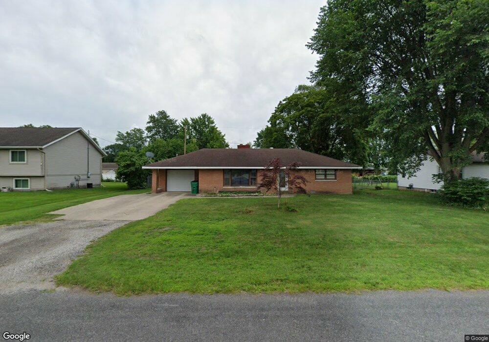
2045 Monte Ave Muskegon, MI 49444
Estimated Value: $197,000 - $256,000
2
Beds
1
Bath
1,144
Sq Ft
$206/Sq Ft
Est. Value
About This Home
This home is located at 2045 Monte Ave, Muskegon, MI 49444 and is currently estimated at $235,193, approximately $205 per square foot. 2045 Monte Ave is a home located in Muskegon County with nearby schools including Fruitport High School, Edgewood Elementary Academy, and Dr. Martin Luther King Academy.
Ownership History
Date
Name
Owned For
Owner Type
Purchase Details
Closed on
Jul 13, 2021
Sold by
Hudelson Ben
Bought by
Hudelson Ben
Current Estimated Value
Purchase Details
Closed on
Jun 4, 2015
Sold by
Arraut Matthew
Bought by
Hudelson Ben
Home Financials for this Owner
Home Financials are based on the most recent Mortgage that was taken out on this home.
Original Mortgage
$63,822
Outstanding Balance
$48,752
Interest Rate
3.37%
Mortgage Type
FHA
Estimated Equity
$186,441
Purchase Details
Closed on
Jul 24, 2008
Sold by
Mortgage Electronic Registration Systems
Bought by
Federal National Mortgage Association
Purchase Details
Closed on
Jul 18, 2008
Sold by
Schneider Edith A and Schneider Hal P
Bought by
Mortgage Electronic Registration Systems
Create a Home Valuation Report for This Property
The Home Valuation Report is an in-depth analysis detailing your home's value as well as a comparison with similar homes in the area
Home Values in the Area
Average Home Value in this Area
Purchase History
| Date | Buyer | Sale Price | Title Company |
|---|---|---|---|
| Hudelson Ben | -- | None Available | |
| Hudelson Ben | $65,000 | Hbi Title Services Inc | |
| Federal National Mortgage Association | -- | None Available | |
| Mortgage Electronic Registration Systems | $110,847 | None Available |
Source: Public Records
Mortgage History
| Date | Status | Borrower | Loan Amount |
|---|---|---|---|
| Open | Hudelson Ben | $63,822 |
Source: Public Records
Tax History
| Year | Tax Paid | Tax Assessment Tax Assessment Total Assessment is a certain percentage of the fair market value that is determined by local assessors to be the total taxable value of land and additions on the property. | Land | Improvement |
|---|---|---|---|---|
| 2025 | $1,852 | $98,500 | $0 | $0 |
| 2024 | $1,318 | $89,700 | $0 | $0 |
| 2023 | $1,260 | $79,400 | $0 | $0 |
| 2022 | $1,630 | $70,900 | $0 | $0 |
| 2021 | $1,584 | $65,200 | $0 | $0 |
| 2020 | $1,567 | $59,400 | $0 | $0 |
| 2019 | $1,539 | $56,000 | $0 | $0 |
| 2018 | $1,503 | $53,400 | $0 | $0 |
| 2017 | $1,472 | $49,900 | $0 | $0 |
| 2016 | $894 | $45,400 | $0 | $0 |
| 2015 | -- | $44,000 | $0 | $0 |
| 2014 | -- | $46,000 | $0 | $0 |
| 2013 | -- | $41,700 | $0 | $0 |
Source: Public Records
Map
Nearby Homes
- 2171 Monte Ave
- 5005 Airline Rd
- 4685 Harvey St
- 4769 Harvey St
- 4677 Harvey St
- 2355 Cress Creek Dr
- 2250 Deanna St
- 1404 E Ellis Rd
- 4470 Poulin St
- V/L S Sheridan Dr
- 2444 Kimberly Dr
- VL E Sternberg Rd
- 2025 E Sternberg Rd
- 1335 Crestbrook Ave
- 1283 E Ellis Rd Unit 31
- 1283 E Ellis Rd Unit 14
- 1283 E Ellis Rd Unit 13
- 1283 E Ellis Rd Unit 30
- 1283 E Ellis Rd Unit 19
- 1128 Walnut Grove Dr
Your Personal Tour Guide
Ask me questions while you tour the home.