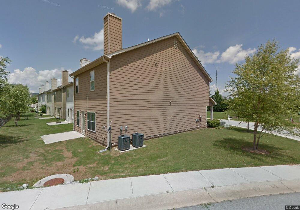
2045 Reavis Bluff Conyers, GA 30012
Estimated Value: $242,000 - $283,000
3
Beds
3
Baths
2,086
Sq Ft
$125/Sq Ft
Est. Value
About This Home
This home is located at 2045 Reavis Bluff, Conyers, GA 30012 and is currently estimated at $261,127, approximately $125 per square foot. 2045 Reavis Bluff is a home located in Rockdale County with nearby schools including Hicks Elementary School, Conyers Middle School, and Rockdale County High School.
Ownership History
Date
Name
Owned For
Owner Type
Purchase Details
Closed on
Nov 8, 2011
Sold by
Apd Solutions Rockdale Llc
Bought by
Hawkins Nadine
Current Estimated Value
Home Financials for this Owner
Home Financials are based on the most recent Mortgage that was taken out on this home.
Original Mortgage
$71,149
Outstanding Balance
$49,627
Interest Rate
4.5%
Mortgage Type
FHA
Estimated Equity
$211,500
Purchase Details
Closed on
Jul 28, 2011
Sold by
Srb Servicing
Bought by
Apd Solutions Rockdale Llc
Purchase Details
Closed on
Mar 1, 2011
Sold by
Dozier Communities Llc
Bought by
Srb Servicing Llc
Purchase Details
Closed on
Jan 12, 2006
Sold by
Scott Land Dev Inc
Bought by
Dozier Cmntys Llc
Home Financials for this Owner
Home Financials are based on the most recent Mortgage that was taken out on this home.
Original Mortgage
$2,900,250
Interest Rate
6.21%
Create a Home Valuation Report for This Property
The Home Valuation Report is an in-depth analysis detailing your home's value as well as a comparison with similar homes in the area
Home Values in the Area
Average Home Value in this Area
Purchase History
| Date | Buyer | Sale Price | Title Company |
|---|---|---|---|
| Hawkins Nadine | $73,000 | -- | |
| Apd Solutions Rockdale Llc | $190,000 | -- | |
| Srb Servicing Llc | $10,000 | -- | |
| Dozier Cmntys Llc | $1,550,000 | -- |
Source: Public Records
Mortgage History
| Date | Status | Borrower | Loan Amount |
|---|---|---|---|
| Open | Hawkins Nadine | $71,149 | |
| Previous Owner | Dozier Cmntys Llc | $2,900,250 |
Source: Public Records
Tax History Compared to Growth
Tax History
| Year | Tax Paid | Tax Assessment Tax Assessment Total Assessment is a certain percentage of the fair market value that is determined by local assessors to be the total taxable value of land and additions on the property. | Land | Improvement |
|---|---|---|---|---|
| 2024 | $4,117 | $115,680 | $0 | $115,680 |
| 2023 | $3,510 | $101,240 | $0 | $101,240 |
| 2022 | $2,825 | $78,720 | $0 | $78,720 |
| 2021 | $2,161 | $61,840 | $0 | $61,840 |
| 2020 | $2,305 | $61,840 | $0 | $61,840 |
| 2019 | $1,823 | $51,440 | $0 | $51,440 |
| 2018 | $1,212 | $51,560 | $0 | $51,560 |
| 2017 | $1,541 | $47,200 | $0 | $47,200 |
| 2016 | $1,489 | $47,200 | $0 | $47,200 |
| 2015 | $729 | $37,760 | $0 | $37,760 |
| 2014 | $677 | $37,760 | $0 | $37,760 |
| 2013 | -- | $29,200 | $0 | $29,200 |
Source: Public Records
Map
Nearby Homes
- 2144 Belmont Cir
- 2140 Belmont Cir
- 2089 Belmont Cir
- 2010 Briar Creek Ct NE
- 2102 Belmont Cir
- 1045 Wedgewood Ct
- 1492 Saint George Place
- 1472 Pine Log Rd NE Unit C
- 1444 Pine Log Rd NE Unit C
- 1451 Pine Log Rd NE
- 1504 Melody Ridge Ct NE
- 1170 Eastview Rd NE
- 0 Sigman Rd NE Unit 10655367
- 930 Woodbridge Dr NE
- 1255 Norton Rd NE
- 1217 Brookstone Cir
- 1262 Brookstone Cir
- 1271 Eastview Rd NE
- 1286 Robin Rd NE
- 1260 Brookstone Cir
- 2043 Reavis Bluff
- 2041 Reavis Bluff Unit 2041
- 2207 Belmont Cir NE
- 2142 Belmont Cir
- 2142 Belmont Cir Unit 152
- 2142 Belmont Cir Unit 162
- 2039 Reavis Bluff
- 2039 Reavis Bluff Unit 320
- 2143 Belmont Cir Unit 182
- 2144 Belmont Cir NE
- 2144 Belmont Cir Unit 161
- 2046 Reavis Bluff
- 2044 Reavis Bluff NE
- 2044 Reavis Bluff
- 2037 Reavis Bluff Unit 2037
- 2037 Reavis Bluff
- 2048 Reavis Bluff
- 2141 Belmonth Cir
- 2042 Reavis Bluff
- 2141 Belmont Cir