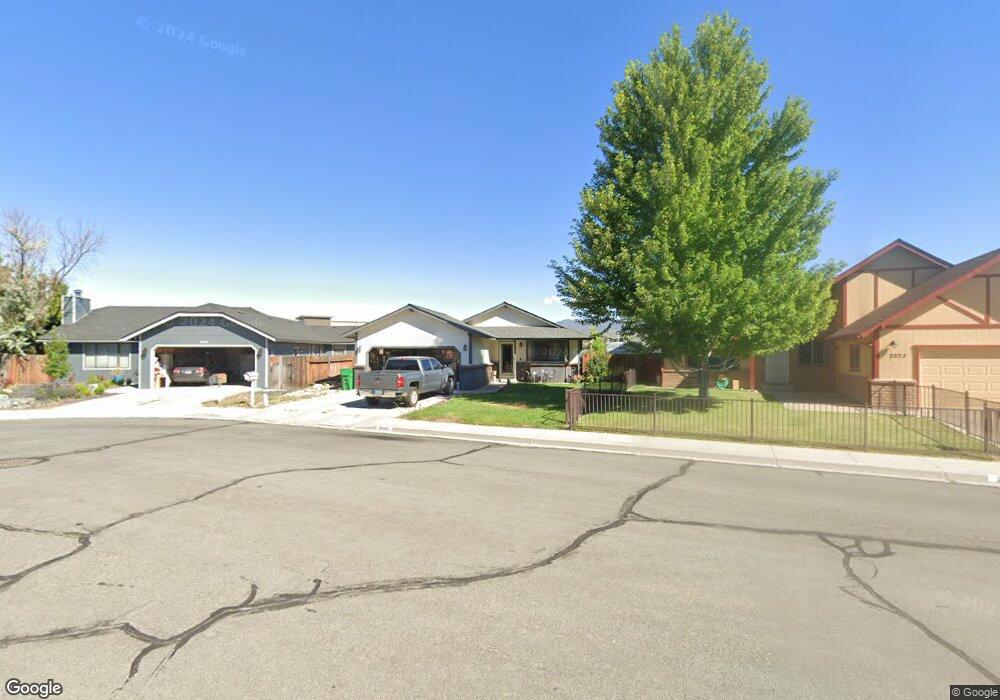
2045 Sue Cir Carson City, NV 89706
Northridge NeighborhoodEstimated Value: $451,000 - $459,000
3
Beds
2
Baths
1,336
Sq Ft
$340/Sq Ft
Est. Value
About This Home
This home is located at 2045 Sue Cir, Carson City, NV 89706 and is currently estimated at $454,192, approximately $339 per square foot. 2045 Sue Cir is a home located in Carson City with nearby schools including Mark Twain Elementary School, Carson Middle School, and Carson High School.
Ownership History
Date
Name
Owned For
Owner Type
Purchase Details
Closed on
Apr 18, 2006
Sold by
Tureson Gabriel F and Tureson Lori A
Bought by
Tanner Geoffrey C and Tanner Angela A
Current Estimated Value
Home Financials for this Owner
Home Financials are based on the most recent Mortgage that was taken out on this home.
Original Mortgage
$247,200
Outstanding Balance
$141,483
Interest Rate
6.29%
Mortgage Type
Fannie Mae Freddie Mac
Estimated Equity
$312,709
Create a Home Valuation Report for This Property
The Home Valuation Report is an in-depth analysis detailing your home's value as well as a comparison with similar homes in the area
Home Values in the Area
Average Home Value in this Area
Purchase History
| Date | Buyer | Sale Price | Title Company |
|---|---|---|---|
| Tanner Geoffrey C | $309,000 | Stewart Title Of Carson City |
Source: Public Records
Mortgage History
| Date | Status | Borrower | Loan Amount |
|---|---|---|---|
| Open | Tanner Geoffrey C | $247,200 |
Source: Public Records
Tax History Compared to Growth
Tax History
| Year | Tax Paid | Tax Assessment Tax Assessment Total Assessment is a certain percentage of the fair market value that is determined by local assessors to be the total taxable value of land and additions on the property. | Land | Improvement |
|---|---|---|---|---|
| 2025 | $1,897 | $72,284 | $34,300 | $37,984 |
| 2024 | $1,842 | $73,351 | $34,300 | $39,051 |
| 2023 | $1,788 | $66,674 | $29,750 | $36,924 |
| 2022 | $1,656 | $57,477 | $23,800 | $33,677 |
| 2021 | $1,608 | $53,970 | $20,650 | $33,320 |
| 2020 | $1,608 | $49,809 | $16,800 | $33,009 |
| 2019 | $1,514 | $49,732 | $16,800 | $32,932 |
| 2018 | $1,470 | $45,941 | $14,000 | $31,941 |
| 2017 | $1,427 | $44,595 | $12,600 | $31,995 |
| 2016 | $1,392 | $43,370 | $10,500 | $32,870 |
| 2015 | $1,389 | $42,614 | $9,625 | $32,989 |
| 2014 | $1,348 | $38,993 | $7,700 | $31,293 |
Source: Public Records
Map
Nearby Homes
- 2051 Southridge Ct
- 1942 Hamilton Ave
- 1970 Hamilton Ave
- 2048 Poole Way
- 20 Royal Dr
- 2554 Pinion Pine Dr
- 2616 Carriage Crest Dr
- 2750 Carriage Crest Dr
- 1381 Spooner Dr
- 1331 Rolling Hills Dr
- 2408 Bunch Way
- 1359 Windridge Dr
- 1968 Marian Ave
- 1366 Campagni Ln
- 40 Bryan Cir
- 984 Mountain Park Dr
- 956 Lindsay Ln Unit 3
- 2524 Sneddon Way
- 2781 E Nye Ln
- 1328 N Green Ct
- 2023 Sue Cir
- 2051 Sue Cir
- 1901 Hamilton Ave
- 2052 Sue Cir
- 1929 Belmont Ave Unit 2
- 1905 Hamilton Ave
- 1811 Hamilton Ave
- 2046 Sue Cir
- 2022 Sue Cir
- 1909 Hamilton Ave
- 1902 Hamilton Ave
- 1809 Hamilton Ave
- 1906 Hamilton Ave
- 1913 Hamilton Ave
- 1810 Hamilton Ave
- 1910 Hamilton Ave
- 1920 Belmont Ave
- 1914 Hamilton Ave
- 1805 Hamilton Ave
- 1917 Belmont Ave Unit na