2045 W Franklin Dr Unit 46 Canton, MI 48187
Estimated Value: $165,000 - $240,000
3
Beds
2
Baths
1,218
Sq Ft
$173/Sq Ft
Est. Value
About This Home
This home is located at 2045 W Franklin Dr Unit 46, Canton, MI 48187 and is currently estimated at $210,753, approximately $173 per square foot. 2045 W Franklin Dr Unit 46 is a home located in Wayne County with nearby schools including Canton High School, Discovery Middle School, and Salem High School.
Ownership History
Date
Name
Owned For
Owner Type
Purchase Details
Closed on
Dec 19, 2013
Sold by
Syed Asif Ahmad and Syed Salma
Bought by
Ahmad Syed Khaleeq
Current Estimated Value
Purchase Details
Closed on
Nov 15, 2007
Sold by
Mortgage Electronic Registration Systems
Bought by
Bank Of New York and Cwabs Inc Asset Backed Certificates Seri
Purchase Details
Closed on
Oct 31, 2007
Sold by
Reyes Leanne
Bought by
Mortgage Electronic Registration Systems
Purchase Details
Closed on
Dec 27, 2006
Sold by
Madsen Terry B and Madsen Lavonne
Bought by
Reyes Leanne
Create a Home Valuation Report for This Property
The Home Valuation Report is an in-depth analysis detailing your home's value as well as a comparison with similar homes in the area
Home Values in the Area
Average Home Value in this Area
Purchase History
| Date | Buyer | Sale Price | Title Company |
|---|---|---|---|
| Ahmad Syed Khaleeq | $58,000 | None Available | |
| Bank Of New York | -- | None Available | |
| Mortgage Electronic Registration Systems | $99,000 | None Available | |
| Reyes Leanne | $138,000 | Multiple |
Source: Public Records
Tax History Compared to Growth
Tax History
| Year | Tax Paid | Tax Assessment Tax Assessment Total Assessment is a certain percentage of the fair market value that is determined by local assessors to be the total taxable value of land and additions on the property. | Land | Improvement |
|---|---|---|---|---|
| 2025 | $1,543 | $98,400 | $0 | $0 |
| 2024 | $1,543 | $81,200 | $0 | $0 |
| 2023 | $1,471 | $68,800 | $0 | $0 |
| 2022 | $2,419 | $64,200 | $0 | $0 |
| 2021 | $2,346 | $64,200 | $0 | $0 |
| 2020 | $2,311 | $62,400 | $0 | $0 |
| 2019 | $2,270 | $58,770 | $0 | $0 |
| 2018 | $1,266 | $56,290 | $0 | $0 |
| 2017 | $1,569 | $43,200 | $0 | $0 |
| 2016 | $1,866 | $43,900 | $0 | $0 |
| 2015 | $3,012 | $35,650 | $0 | $0 |
| 2013 | $3,163 | $32,870 | $0 | $0 |
| 2010 | -- | $48,180 | $21,000 | $27,180 |
Source: Public Records
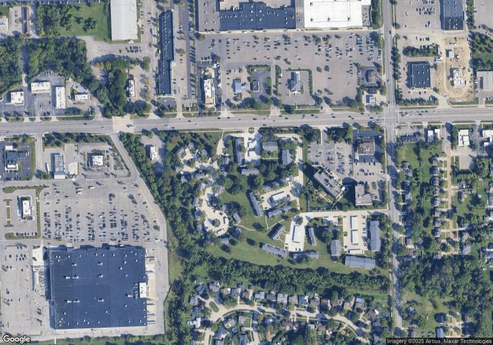
Map
Nearby Homes
- 1945 W Franklin Dr Unit 13
- 44497 Savery Dr Unit 103
- 1822 N Sheldon Rd
- 1710 Longfellow Dr
- 1625 Longfellow Dr
- 44585 Nantucket Dr
- 58560 Stuart Dr
- 6171 Gloucester Dr
- 0000 Ford
- 1796 Oakview Dr
- 1584 Commodore Cir Unit 33
- 43706 Westminister Way
- 6011 Beaufort Dr
- 43625 Westminister Way
- 45762 S Stonewood Rd
- 5887 Northford
- 45588 S Stonewood Rd
- 50782 Ross St
- 48590 Ford Rd
- 1215 Orchid Cir Unit 7
- 2043 W Franklin Dr
- 2021 E Franklin Dr
- 1952 W Franklin Dr
- 1952 W Franklin Dr Unit 34
- 2006 W Franklin Dr Unit 38
- 1960 W Franklin Dr Unit 36
- 1938 W Franklin Dr Unit 32
- 2051 W Franklin Dr Unit 44
- 2003 E Franklin Dr Unit 63
- 2003 E Franklin Dr Unit 23, 63
- 2003 E Franklin Dr Unit 2003
- 44730 Ford Rd
- 2002 W Franklin Dr
- 1967 E Franklin Dr
- 1937 W Franklin Dr Unit 15
- 1956 W Franklin Dr Unit 35
- 1995 Peerce Ct Unit 2
- 1948 W Franklin Dr Unit 33
- 1967 Peerce Ct
- 1973 Peerce Ct