2046 E 1050 N Ossian, IN 46777
Estimated Value: $402,000 - $484,000
4
Beds
3
Baths
2,256
Sq Ft
$204/Sq Ft
Est. Value
About This Home
This home is located at 2046 E 1050 N, Ossian, IN 46777 and is currently estimated at $459,828, approximately $203 per square foot. 2046 E 1050 N is a home located in Wells County with nearby schools including Norwell High School and St. Aloysius School.
Ownership History
Date
Name
Owned For
Owner Type
Purchase Details
Closed on
May 30, 2007
Sold by
Branstrator Matthew A and Branstrator Amanda K
Bought by
Stettner Graig P and Stettner Corinne L
Current Estimated Value
Home Financials for this Owner
Home Financials are based on the most recent Mortgage that was taken out on this home.
Original Mortgage
$187,800
Outstanding Balance
$114,976
Interest Rate
6.2%
Mortgage Type
New Conventional
Estimated Equity
$344,852
Purchase Details
Closed on
Apr 30, 2007
Sold by
Branstrator Matthew A and Branstrator Amanda K
Bought by
Stettner Graig P and Stettner Corinne L
Home Financials for this Owner
Home Financials are based on the most recent Mortgage that was taken out on this home.
Original Mortgage
$187,800
Outstanding Balance
$114,976
Interest Rate
6.2%
Mortgage Type
New Conventional
Estimated Equity
$344,852
Purchase Details
Closed on
Sep 1, 2000
Sold by
Haupert Marilyn S
Bought by
Branstrator Matthew and Branstrator Amanda
Create a Home Valuation Report for This Property
The Home Valuation Report is an in-depth analysis detailing your home's value as well as a comparison with similar homes in the area
Home Values in the Area
Average Home Value in this Area
Purchase History
| Date | Buyer | Sale Price | Title Company |
|---|---|---|---|
| Stettner Graig P | -- | None Available | |
| Stettner Graig P | $235,000 | Landamerica Lawyers Title | |
| Branstrator Matthew | $175,000 | -- |
Source: Public Records
Mortgage History
| Date | Status | Borrower | Loan Amount |
|---|---|---|---|
| Open | Stettner Graig P | $187,800 |
Source: Public Records
Tax History Compared to Growth
Tax History
| Year | Tax Paid | Tax Assessment Tax Assessment Total Assessment is a certain percentage of the fair market value that is determined by local assessors to be the total taxable value of land and additions on the property. | Land | Improvement |
|---|---|---|---|---|
| 2024 | $2,655 | $391,300 | $106,200 | $285,100 |
| 2023 | $2,501 | $371,800 | $105,600 | $266,200 |
| 2022 | $2,088 | $327,000 | $75,000 | $252,000 |
| 2021 | $2,079 | $301,400 | $74,600 | $226,800 |
| 2020 | $1,746 | $276,300 | $74,600 | $201,700 |
| 2019 | $1,787 | $273,700 | $75,100 | $198,600 |
| 2018 | $1,466 | $229,900 | $66,500 | $163,400 |
| 2017 | $1,240 | $228,100 | $66,800 | $161,300 |
| 2016 | $1,225 | $223,900 | $63,500 | $160,400 |
| 2014 | $1,243 | $210,500 | $65,100 | $145,400 |
| 2013 | $1,182 | $210,800 | $62,100 | $148,700 |
Source: Public Records
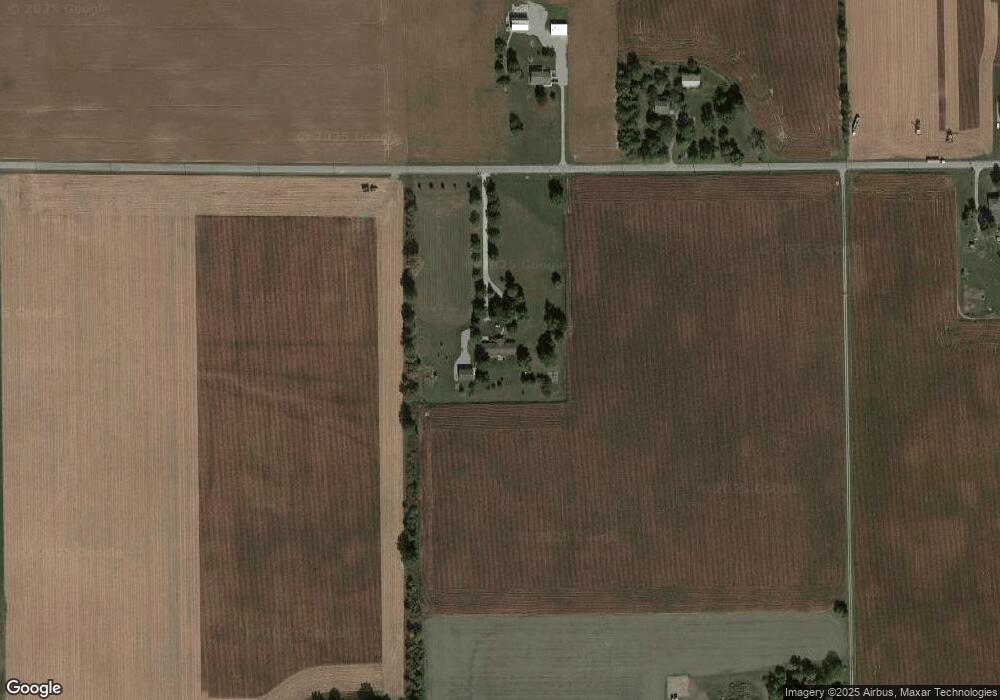
Map
Nearby Homes
- 504 Meadow Ln
- 10850 N State Road 1
- 602 N Metts St
- 801 N Maxine Dr
- 609 Greenwood Trail
- 314 Greenwood Trail
- 10221 Indiana 1
- 3667 E 1000 N
- 3703 E 1000 N
- 406 Piper Ct
- 410 Piper Ct
- TBD E 900 N
- 305 Piper Ct
- TBD 850 N
- Harmony Plan at Crosswind Lakes
- Chatham Plan at Crosswind Lakes
- TBD N State Road 1
- 3421 Yoder Rd
- 4503 W Yoder Rd
- 4035 E 800 N