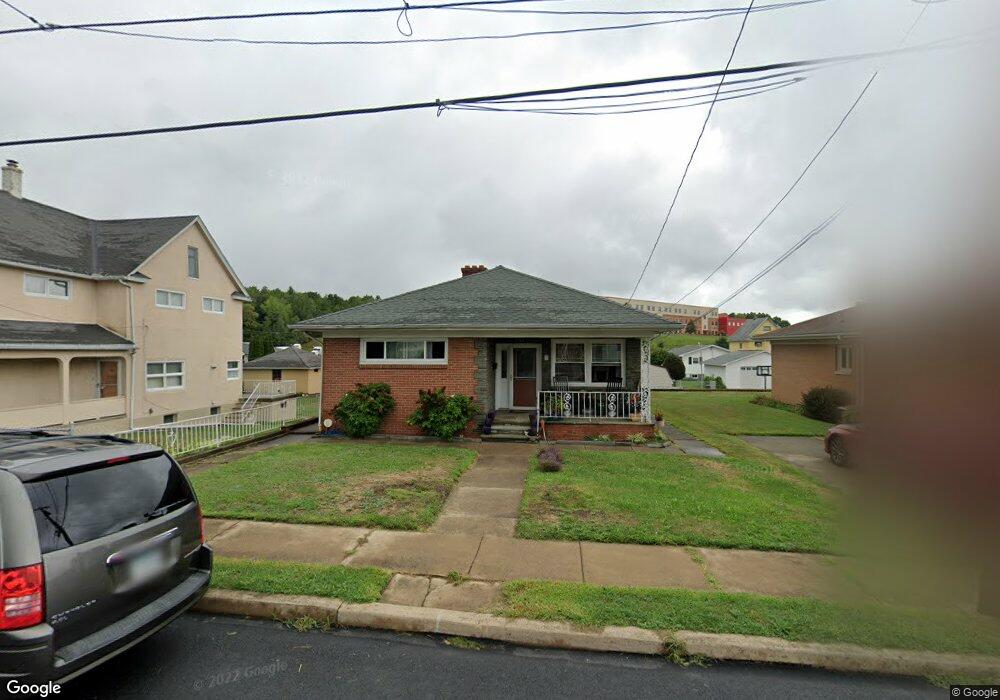
2046 Farr St Scranton, PA 18504
Hyde Park NeighborhoodEstimated Value: $207,000 - $254,000
3
Beds
2
Baths
1,984
Sq Ft
$113/Sq Ft
Est. Value
About This Home
This home is located at 2046 Farr St, Scranton, PA 18504 and is currently estimated at $224,520, approximately $113 per square foot. 2046 Farr St is a home located in Lackawanna County with nearby schools including Longan Elementary School, Adams Elementary School, and Isaac Tripp Elementary School.
Ownership History
Date
Name
Owned For
Owner Type
Purchase Details
Closed on
May 25, 2012
Sold by
Clark Kevin R and Clark Carol
Bought by
Mangan Michael and Mangan Erin
Current Estimated Value
Home Financials for this Owner
Home Financials are based on the most recent Mortgage that was taken out on this home.
Original Mortgage
$120,695
Outstanding Balance
$83,033
Interest Rate
3.75%
Mortgage Type
FHA
Estimated Equity
$141,487
Purchase Details
Closed on
Jan 25, 2006
Sold by
Cerminaro A Thomas and Cerminaro Marilyn D
Bought by
Clark Kevin R
Home Financials for this Owner
Home Financials are based on the most recent Mortgage that was taken out on this home.
Original Mortgage
$102,600
Interest Rate
9.62%
Mortgage Type
Adjustable Rate Mortgage/ARM
Create a Home Valuation Report for This Property
The Home Valuation Report is an in-depth analysis detailing your home's value as well as a comparison with similar homes in the area
Home Values in the Area
Average Home Value in this Area
Purchase History
| Date | Buyer | Sale Price | Title Company |
|---|---|---|---|
| Mangan Michael | $128,000 | None Available | |
| Clark Kevin R | $108,000 | None Available |
Source: Public Records
Mortgage History
| Date | Status | Borrower | Loan Amount |
|---|---|---|---|
| Open | Mangan Michael | $120,695 | |
| Previous Owner | Clark Kevin R | $102,600 |
Source: Public Records
Tax History Compared to Growth
Tax History
| Year | Tax Paid | Tax Assessment Tax Assessment Total Assessment is a certain percentage of the fair market value that is determined by local assessors to be the total taxable value of land and additions on the property. | Land | Improvement |
|---|---|---|---|---|
| 2025 | $4,626 | $15,150 | $1,150 | $14,000 |
| 2024 | $4,211 | $15,150 | $1,150 | $14,000 |
| 2023 | $4,211 | $15,150 | $1,150 | $14,000 |
| 2022 | $4,118 | $15,150 | $1,150 | $14,000 |
| 2021 | $4,118 | $15,150 | $1,150 | $14,000 |
| 2020 | $4,037 | $15,150 | $1,150 | $14,000 |
| 2019 | $3,792 | $15,150 | $1,150 | $14,000 |
| 2018 | $3,792 | $15,150 | $1,150 | $14,000 |
| 2017 | $3,720 | $15,150 | $1,150 | $14,000 |
| 2016 | $975 | $15,150 | $1,150 | $14,000 |
| 2015 | $2,419 | $15,150 | $1,150 | $14,000 |
| 2014 | -- | $15,150 | $1,150 | $14,000 |
Source: Public Records
Map
Nearby Homes
- 2133 Dorothy St
- 1727 Dorothy St
- 1501 Farr St
- 1431 Dorothy St
- 1425 Bulwer St
- 116 Little Spike Way Unit L 40
- 991 N Sumner Ave Unit 1/2 L 13
- 1057 Euclid Ave
- 635 N Garfield Ave
- 1327 Oram St
- 1126 W Gibson St
- 638 N Lincoln Ave
- 534-536 N Garfield Ave
- 523 N Rebecca Ave
- 602 604 N Lincoln Ave
- 352 N Fillmore Ave
- 1235 N Sumner Ave
- 833 Powderly Ct
- 357 Hughes Ct
- 1008 Mount Vernon Ave
- 2046 Farr L 13 St
- 2050 Farr St Unit 2052
- 2032 Farr St
- 2047 Farr St
- 2030 Farr St
- 2102 Farr & Everett
- 2051 Farr St
- 2051 Farr St
- 2041 Farr St
- 2049 Dorothy St
- 2045 Dorothy St
- 2051 Dorothy St
- 2022 Farr St
- 2031 Farr St
- 2033 Dorothy St
- 2104 Farr St
- 2031 Dorothy St
- 2044 Farr L 13 St
- 2020 Farr St
- 2029 Dorothy St