Estimated Value: $679,000 - $790,000
4
Beds
3
Baths
2,635
Sq Ft
$278/Sq Ft
Est. Value
About This Home
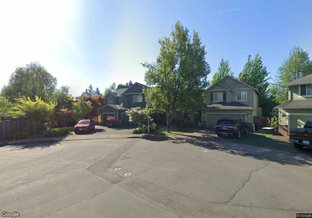
This home is located at 2046 NW Fargo Ct, Camas, WA 98607 and is currently estimated at $732,769, approximately $278 per square foot. 2046 NW Fargo Ct is a home located in Clark County with nearby schools including Helen Baller Elementary School, Liberty Middle School, and Camas High School.
Ownership History
Date
Name
Owned For
Owner Type
Purchase Details
Closed on
Feb 21, 2006
Sold by
Benson Matt and Benson Amy
Bought by
Clay Phillip and Clay Diane
Current Estimated Value
Purchase Details
Closed on
Aug 30, 2002
Sold by
Geonerco Inc
Bought by
Clay Phillip G and Clay Diane L
Home Financials for this Owner
Home Financials are based on the most recent Mortgage that was taken out on this home.
Original Mortgage
$192,000
Interest Rate
6.29%
Create a Home Valuation Report for This Property
The Home Valuation Report is an in-depth analysis detailing your home's value as well as a comparison with similar homes in the area
Home Values in the Area
Average Home Value in this Area
Purchase History
| Date | Buyer | Sale Price | Title Company |
|---|---|---|---|
| Clay Phillip | $726 | None Available | |
| Clay Phillip G | $240,000 | Chicago Title Insurance |
Source: Public Records
Mortgage History
| Date | Status | Borrower | Loan Amount |
|---|---|---|---|
| Previous Owner | Clay Phillip G | $192,000 | |
| Closed | Clay Phillip G | $14,750 |
Source: Public Records
Tax History Compared to Growth
Tax History
| Year | Tax Paid | Tax Assessment Tax Assessment Total Assessment is a certain percentage of the fair market value that is determined by local assessors to be the total taxable value of land and additions on the property. | Land | Improvement |
|---|---|---|---|---|
| 2025 | $6,262 | $578,043 | $165,000 | $413,043 |
| 2024 | $6,173 | $656,931 | $261,000 | $395,931 |
| 2023 | $5,649 | $696,343 | $229,000 | $467,343 |
| 2022 | $5,685 | $605,868 | $214,600 | $391,268 |
| 2021 | $5,542 | $509,663 | $181,000 | $328,663 |
| 2020 | $5,710 | $460,475 | $165,000 | $295,475 |
| 2019 | $5,940 | $439,974 | $165,000 | $274,974 |
| 2018 | $5,452 | $487,556 | $0 | $0 |
| 2017 | $5,163 | $376,134 | $0 | $0 |
| 2016 | $4,610 | $387,948 | $0 | $0 |
| 2015 | $4,641 | $344,600 | $0 | $0 |
| 2014 | -- | $327,166 | $0 | $0 |
| 2013 | -- | $286,154 | $0 | $0 |
Source: Public Records
Map
Nearby Homes
- 2120 NW Fargo Loop
- 2052 NW Fargo Loop
- 2149 NW Fargo Loop
- 2160 NW Fargo Loop
- 737 NW 20th Ave
- 1146 NW 23rd Ave Unit A1
- 441 NW 15th Ave
- 124 NW 18th Ave
- 1623 Division St
- 1303 Division St
- 715 NW 10th Ave
- 536 NW 10th Ave
- 1402 NW 30th Ave
- 912 NW Fargo St
- 535 NW 9th Ave
- 907 NW Greeley St
- 615 NW 7th Ave
- 719 NE Dallas St Unit A4
- 632 NE Everett St
- 1610 NW 34th Ave
- 2044 NW Fargo Ct
- 2043 NW Fargo Loop
- 2035 NW Fargo Loop
- 2033 NW Fargo Ct
- 2055 NW Fargo Loop
- 2017 NW Fargo Loop
- 2011 NW Fargo Loop
- 2113 NW Fargo Loop
- 2021 NW Fargo Loop
- 2005 NW Fargo Loop
- 2041 NW Fargo Ct
- 2053 NW Fargo Ct
- 2108 NW Fargo Ct
- 2001 NW Fargo Loop
- 2102 NW Fargo Loop
- 2040 NW Fargo Loop
- 2107 NW Fargo Ct
- 2114 NW Fargo Loop
- 2036 NW Fargo Loop
- 2042 NW Fargo Loop