2046 White Point Rd Friday Harbor, WA 98250
Estimated Value: $1,090,000 - $2,378,995
1
Bed
1
Bath
768
Sq Ft
$2,127/Sq Ft
Est. Value
About This Home
This home is located at 2046 White Point Rd, Friday Harbor, WA 98250 and is currently estimated at $1,633,749, approximately $2,127 per square foot. 2046 White Point Rd is a home with nearby schools including Friday Harbor Elementary School, Friday Harbor Middle School, and Friday Harbor High School.
Ownership History
Date
Name
Owned For
Owner Type
Purchase Details
Closed on
Aug 17, 2017
Sold by
Walkinshaw Jean S and Walkinshaw Charles A
Bought by
Walkinshaw Charles A and The San Juan Preservation Trust
Current Estimated Value
Purchase Details
Closed on
Jan 4, 2016
Sold by
Fuell Margaret W and Fuell Margaret V
Bought by
Walkinshaw Jean S
Purchase Details
Closed on
Sep 20, 2011
Sold by
Walkinshaw Jean S
Bought by
Walkinshaw Jean S
Purchase Details
Closed on
Oct 22, 2007
Sold by
Walkinshaw Walter
Bought by
Walkinshaw Jean
Purchase Details
Closed on
Oct 15, 2007
Sold by
Walkinshaw Robert B
Bought by
Walkinshaw Charles A and Fuell Margaret W
Create a Home Valuation Report for This Property
The Home Valuation Report is an in-depth analysis detailing your home's value as well as a comparison with similar homes in the area
Home Values in the Area
Average Home Value in this Area
Purchase History
| Date | Buyer | Sale Price | Title Company |
|---|---|---|---|
| Walkinshaw Charles A | -- | San Juan Title | |
| Walkinshaw Jean S | $249,820 | None Available | |
| Walkinshaw Jean S | -- | None Available | |
| Walkinshaw Jean | -- | San Juan Title Llc | |
| Walkinshaw Charles A | -- | San Juan Title Llc |
Source: Public Records
Tax History Compared to Growth
Tax History
| Year | Tax Paid | Tax Assessment Tax Assessment Total Assessment is a certain percentage of the fair market value that is determined by local assessors to be the total taxable value of land and additions on the property. | Land | Improvement |
|---|---|---|---|---|
| 2024 | $8,896 | $1,638,330 | $1,077,300 | $561,030 |
| 2023 | $8,896 | $1,566,190 | $1,077,300 | $488,890 |
| 2022 | $5,968 | $1,095,290 | $769,500 | $325,790 |
| 2021 | $3,371 | $807,690 | $570,000 | $237,690 |
| 2020 | $3,437 | $456,730 | $452,350 | $4,380 |
| 2019 | $3,443 | $455,720 | $452,350 | $3,370 |
| 2018 | $3,786 | $457,950 | $457,950 | $0 |
| 2017 | $4,387 | $463,960 | $452,350 | $11,610 |
| 2016 | $4,322 | $570,290 | $560,180 | $10,110 |
| 2015 | $4,322 | $441,160 | $430,910 | $10,250 |
| 2014 | $4,322 | $433,080 | $430,910 | $2,170 |
| 2012 | $4,322 | $433,080 | $430,910 | $2,170 |
Source: Public Records
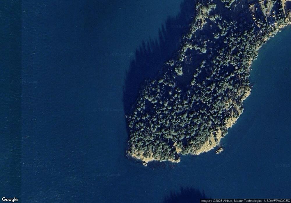
Map
Nearby Homes
- 16 Driftwood Dr
- 1555 Yacht Haven Rd
- 1062 Yacht Haven Rd
- 98 Bufflehead Ln
- 98 Armadale Rd Unit 209
- 98 Armadale Rd Unit 215
- 258 Armadale Rd Unit 1
- 457 White Point Rd
- 120 De Haro Ln
- 73 Dogwood Ln
- 227 De Haro Ln
- 101 Ada's Alley
- 30 Smugglers Rowe
- 375 De Haro Ln
- 309 Afterglow Dr
- 449 Madrona Dr
- 295 Westcott Dr
- 185 Briggs Rd
- 327 Twin Oaks Dr
- 934 Mitchell Bay Rd
- 2079 White Point Rd
- 2069 White Point Rd
- 1920 White Point Rd
- 2047 White Point Rd
- 1945 White Point Rd
- 1923 White Point Rd
- 63 Seal Rock Ln
- 1871 White Point Rd
- 1829 White Point Rd
- 235 Seal Rock Ln
- 1733 White Point Rd
- 114 Saltwater Ln
- 2201 Yacht Haven Rd
- 2201 Yacht Haven Rd
- 2201 Yacht Haven Rd
- 423 Shorett Dr
- 32 Inskeep Ln
- 349 Shorett Dr
- 249 Seal Rock Ln
- 164 182 Shorett Dr