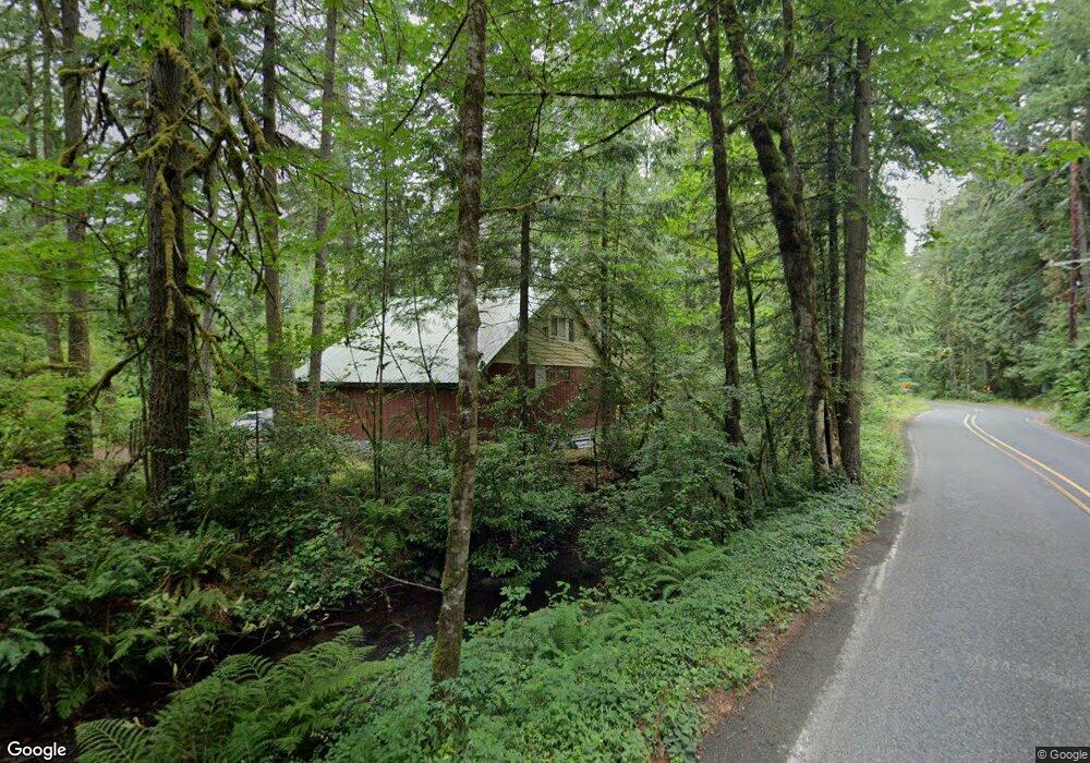
20465 E Donny Dell Ln Rhododendron, OR 97049
Estimated Value: $356,000 - $377,000
2
Beds
1
Bath
961
Sq Ft
$379/Sq Ft
Est. Value
About This Home
This home is located at 20465 E Donny Dell Ln, Rhododendron, OR 97049 and is currently estimated at $363,928, approximately $378 per square foot. 20465 E Donny Dell Ln is a home located in Clackamas County with nearby schools including Welches Elementary School, Welches Middle School, and Sandy High School.
Ownership History
Date
Name
Owned For
Owner Type
Purchase Details
Closed on
Aug 8, 2003
Sold by
Federal National Mortgage Association
Bought by
Brewer Heidi
Current Estimated Value
Home Financials for this Owner
Home Financials are based on the most recent Mortgage that was taken out on this home.
Original Mortgage
$105,000
Interest Rate
5.17%
Mortgage Type
Purchase Money Mortgage
Purchase Details
Closed on
Sep 10, 1996
Sold by
Anderson Larry C
Bought by
Malcolm Penelope
Home Financials for this Owner
Home Financials are based on the most recent Mortgage that was taken out on this home.
Original Mortgage
$90,250
Interest Rate
7.88%
Create a Home Valuation Report for This Property
The Home Valuation Report is an in-depth analysis detailing your home's value as well as a comparison with similar homes in the area
Home Values in the Area
Average Home Value in this Area
Purchase History
| Date | Buyer | Sale Price | Title Company |
|---|---|---|---|
| Brewer Heidi | $85,900 | Chicago Title Ins Co | |
| Malcolm Penelope | $95,000 | First American Title Ins Co |
Source: Public Records
Mortgage History
| Date | Status | Borrower | Loan Amount |
|---|---|---|---|
| Closed | Brewer Heidi | $105,000 | |
| Previous Owner | Malcolm Penelope | $90,250 |
Source: Public Records
Tax History Compared to Growth
Tax History
| Year | Tax Paid | Tax Assessment Tax Assessment Total Assessment is a certain percentage of the fair market value that is determined by local assessors to be the total taxable value of land and additions on the property. | Land | Improvement |
|---|---|---|---|---|
| 2024 | $1,678 | $114,318 | -- | -- |
| 2023 | $1,678 | $110,989 | $0 | $0 |
| 2022 | $1,594 | $107,757 | $0 | $0 |
| 2021 | $1,540 | $104,619 | $0 | $0 |
| 2020 | $1,501 | $101,572 | $0 | $0 |
| 2019 | $1,493 | $98,614 | $0 | $0 |
| 2018 | $1,429 | $95,742 | $0 | $0 |
| 2017 | $1,397 | $92,953 | $0 | $0 |
| 2016 | $1,350 | $90,246 | $0 | $0 |
| 2015 | $1,314 | $87,617 | $0 | $0 |
| 2014 | $1,282 | $85,065 | $0 | $0 |
Source: Public Records
Map
Nearby Homes
- 63645 E Barlow Trail Rd
- 2 E Brightwood Loop Rd
- 1 E Brightwood Loop Rd
- 64636 E Sandy River Ln
- 63205 Brightwood Bridge Rd
- 64281 E Brightwood Loop Rd
- 64680 E Sandy River Ln
- 64841 E Lupine Dr
- 65065 E Lupine Dr
- 21121 E Mountain Creek Cir
- 62778 E Barlow Trail Rd
- 65096 E Lupine Dr
- 62955 E Mountain Country Ln
- 64894 E Sandy River Ln
- 67197 E Barlow Trail Rd
- 65277 E Sandy River Ln
- 20525 E Mountain Country Ln
- 63956 E Barlow Trail Rd
- 21010 E Country Club Rd
- 21424 E Country Club Loop
- 20480 E Donny Dell Ln
- 20373 E Donny Dell Ln
- 64177 E Relton Rd
- 64073 E Relton Ln Unit 4 & 5
- 64225 E Mcintyre Rd
- 64085 E Barlow Trail Rd
- 64160 E Relton Rd
- 0 E Relton Rd Unit 21615015
- 0 E Relton Rd Unit 20301753
- 0 E Relton Rd Unit 15048174
- 0 E Relton Rd Unit 26 16422756
- 0 E Relton Rd Unit 25 16277448
- 0 E Relton Rd Unit 18696779
- 0 E Relton Rd Unit 24 18526231
- 0 E Relton Rd Unit 23 18192516
- 0 E Relton Rd Unit 24 18594771
- 0 E Relton Rd Unit 23
- 64090 E Relton Ln
- 64177 E Relton Ln
- 64155 E Relton Rd