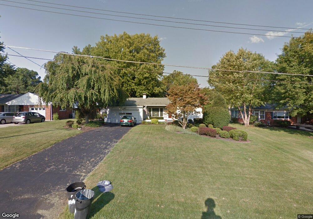
2047 Evanor Ln Cincinnati, OH 45244
Dry Run NeighborhoodEstimated Value: $281,000 - $314,000
3
Beds
1
Bath
1,217
Sq Ft
$244/Sq Ft
Est. Value
About This Home
This home is located at 2047 Evanor Ln, Cincinnati, OH 45244 and is currently estimated at $296,571, approximately $243 per square foot. 2047 Evanor Ln is a home located in Hamilton County with nearby schools including Wilson Elementary School, Nagel Middle School, and Turpin High School.
Ownership History
Date
Name
Owned For
Owner Type
Purchase Details
Closed on
Apr 30, 2001
Sold by
Wright Jeffrey and Wright Nora
Bought by
Miller Brian N and Pazdera Laura A
Current Estimated Value
Home Financials for this Owner
Home Financials are based on the most recent Mortgage that was taken out on this home.
Original Mortgage
$106,250
Interest Rate
7.23%
Create a Home Valuation Report for This Property
The Home Valuation Report is an in-depth analysis detailing your home's value as well as a comparison with similar homes in the area
Home Values in the Area
Average Home Value in this Area
Purchase History
| Date | Buyer | Sale Price | Title Company |
|---|---|---|---|
| Miller Brian N | $125,000 | First Title Agency Inc |
Source: Public Records
Mortgage History
| Date | Status | Borrower | Loan Amount |
|---|---|---|---|
| Closed | Miller Brian N | $106,250 |
Source: Public Records
Tax History
| Year | Tax Paid | Tax Assessment Tax Assessment Total Assessment is a certain percentage of the fair market value that is determined by local assessors to be the total taxable value of land and additions on the property. | Land | Improvement |
|---|---|---|---|---|
| 2025 | $4,758 | $76,006 | $17,759 | $58,247 |
| 2023 | $4,399 | $76,006 | $17,759 | $58,247 |
| 2022 | $3,556 | $54,678 | $16,139 | $38,539 |
| 2021 | $3,472 | $54,678 | $16,139 | $38,539 |
| 2020 | $3,512 | $54,678 | $16,139 | $38,539 |
| 2019 | $3,146 | $44,454 | $13,122 | $31,332 |
| 2018 | $2,947 | $44,454 | $13,122 | $31,332 |
| 2017 | $2,780 | $44,454 | $13,122 | $31,332 |
| 2016 | $3,011 | $47,058 | $14,564 | $32,494 |
| 2015 | $2,924 | $47,058 | $14,564 | $32,494 |
| 2014 | $2,926 | $47,058 | $14,564 | $32,494 |
| 2013 | $2,495 | $42,396 | $13,122 | $29,274 |
Source: Public Records
Map
Nearby Homes
- 1858 Foxhollow Dr
- 7660 Clough Pike
- 7652 Clough Pike
- 8146 Clough Pike
- 1885 Wanninger Ln
- 7926 Dunview Ct
- 8175 Timbercreek Dr
- 2274 Pointe Place
- 7712 Stonehill Dr
- 2256 Endovalley Dr
- 7967 Kimbee Dr
- 1847 Eight Mile Rd
- 0 State Rd Unit 1871931
- 2282 Berrywood Dr
- 2105 Clough Chase Dr
- 2113 Clough Chase Dr
- 1502 Huntcrest Dr
- 2121 Clough Chase Dr
- 8320 Katies Ct
- 8022 Stonegate Dr
- 2057 Evanor Ln
- 2039 Evanor Ln
- 2065 Evanor Ln
- 2034 Gilchrest Ct
- 2038 Gilchrest Ct
- 2075 Evanor Ln
- 2030 Gilchrest Ct
- 2021 Evanor Ln
- 7952 Clough Pike
- 7946 Clough Pike
- 2102 Hunters Point Ln
- 2018 Gilchrest Ct
- 2048 Evanor Ln
- 2083 Evanor Ln
- 2058 Evanor Ln
- 2020 Evanor Ln
- 2066 Evanor Ln
- 2039 Gilchrest Ct
- 2106 Hunters Point Ln
- 7936 Clough Pike
Your Personal Tour Guide
Ask me questions while you tour the home.