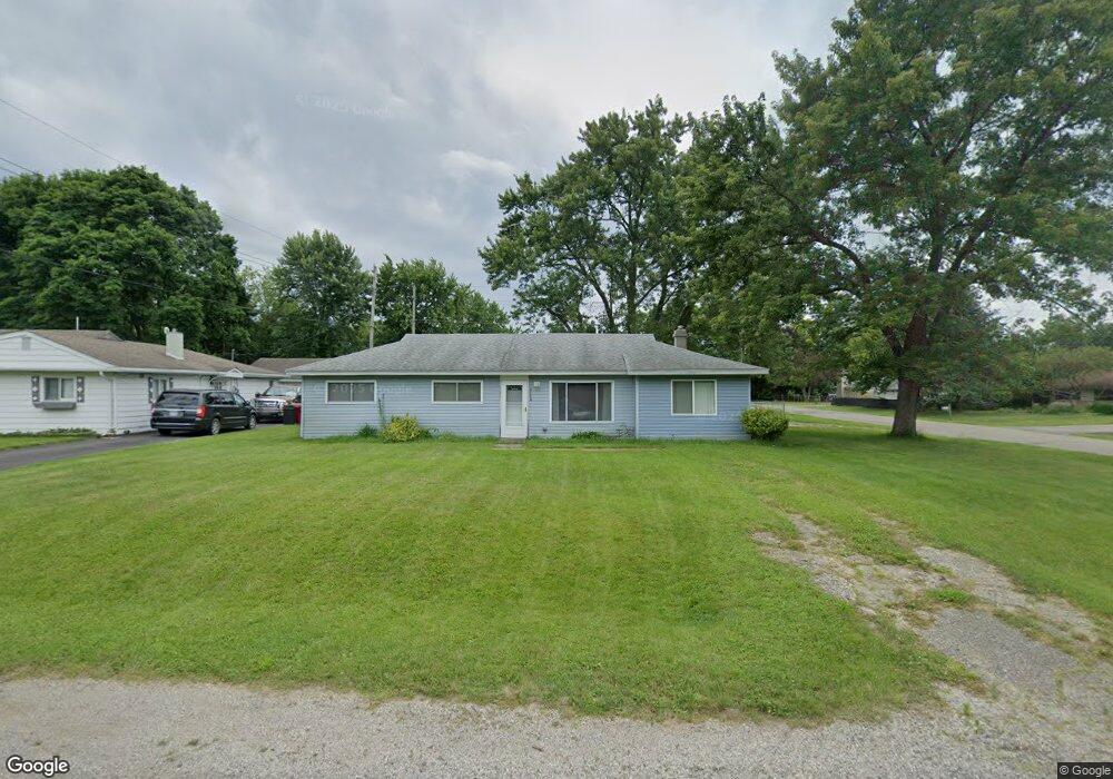
2047 Henbert Rd West Bloomfield, MI 48324
Estimated Value: $250,000 - $272,000
3
Beds
2
Baths
1,220
Sq Ft
$215/Sq Ft
Est. Value
About This Home
This home is located at 2047 Henbert Rd, West Bloomfield, MI 48324 and is currently estimated at $262,207, approximately $214 per square foot. 2047 Henbert Rd is a home located in Oakland County with nearby schools including Haviland Elementary School, Pierce Middle School, and Waterford Mott High School.
Ownership History
Date
Name
Owned For
Owner Type
Purchase Details
Closed on
Mar 17, 2025
Sold by
Lawson Geraldine L
Bought by
Poisson Cynthia A
Current Estimated Value
Purchase Details
Closed on
Apr 3, 2018
Sold by
Lawson Geraldine L
Bought by
Poisson Cynthia and Lawson Geraldine L
Home Financials for this Owner
Home Financials are based on the most recent Mortgage that was taken out on this home.
Original Mortgage
$70,000
Interest Rate
4.43%
Mortgage Type
New Conventional
Create a Home Valuation Report for This Property
The Home Valuation Report is an in-depth analysis detailing your home's value as well as a comparison with similar homes in the area
Home Values in the Area
Average Home Value in this Area
Purchase History
| Date | Buyer | Sale Price | Title Company |
|---|---|---|---|
| Poisson Cynthia A | -- | None Listed On Document | |
| Poisson Cynthia A | -- | None Listed On Document | |
| Poisson Cynthia | -- | None Available |
Source: Public Records
Mortgage History
| Date | Status | Borrower | Loan Amount |
|---|---|---|---|
| Previous Owner | Poisson Cynthia | $70,000 |
Source: Public Records
Tax History Compared to Growth
Tax History
| Year | Tax Paid | Tax Assessment Tax Assessment Total Assessment is a certain percentage of the fair market value that is determined by local assessors to be the total taxable value of land and additions on the property. | Land | Improvement |
|---|---|---|---|---|
| 2024 | $1,520 | $106,670 | $0 | $0 |
| 2022 | $1,450 | $88,740 | $36,000 | $52,740 |
| 2021 | $1,690 | $72,030 | $0 | $0 |
| 2020 | $999 | $68,110 | $26,570 | $41,540 |
| 2018 | $1,615 | $57,070 | $21,000 | $36,070 |
| 2015 | -- | $47,330 | $0 | $0 |
| 2014 | -- | $44,080 | $0 | $0 |
| 2011 | -- | $41,850 | $0 | $0 |
Source: Public Records
Map
Nearby Homes
- 1992 Swaranne Dr
- 1811 Henbert Rd
- 1837 Henbert Rd
- 6620 Red Cedar Ln Unit 37
- 1985 Christopher Ct
- 6726 Red Cedar Ln
- 2112 Keylon Dr
- 6034 Beachwood Dr
- 6057 Beachwood Dr
- 2140 Timberridge Ct
- 2236 Locklin Ln
- 1604 Petrolia
- Lot 94 Hiller Rd
- 5699 Applegrove Dr
- VAC Mercedes Ave
- 6289 Lindsay Ct
- 2110 Peachtree Ct
- VL Tamson St
- 1276 Jay St Unit 6
- 1844 Poppleton Dr
- 2037 Henbert Rd
- 6310 Greer Rd
- 6294 Greer Rd
- 2027 Henbert Rd
- 6278 Greer Rd
- 2054 Sarona Ln
- 2044 Henbert Rd
- 2038 Sarona Ln
- 2028 Henbert Rd
- 6342 Greer Rd
- 2022 Sarona Ln
- 6262 Greer Rd
- 2012 Henbert Rd
- 2017 Henbert Rd
- 2006 Sarona Ln
- 6362 Greer Rd
- 2053 Swaranne Dr
- 1979 Sarona Ln
- 2021 Swaranne Dr
- 2039 Swaranne Dr