2047 Junkins Loop Unit 66 Westcliffe, CO 81252
Estimated Value: $448,000 - $520,881
4
Beds
3
Baths
1,508
Sq Ft
$314/Sq Ft
Est. Value
About This Home
This home is located at 2047 Junkins Loop Unit 66, Westcliffe, CO 81252 and is currently estimated at $472,960, approximately $313 per square foot. 2047 Junkins Loop Unit 66 is a home located in Custer County with nearby schools including Custer County Elementary School, Custer Middle School, and Custer County High School.
Ownership History
Date
Name
Owned For
Owner Type
Purchase Details
Closed on
Jul 21, 2017
Sold by
Buffum Mary Jeanne
Bought by
Wood Brian M and Wood Tari R
Current Estimated Value
Purchase Details
Closed on
May 7, 2001
Sold by
Allen Michael C and Allen Deborah S
Bought by
Buffum Kennith Guy and Buffum Mary Jeanne
Purchase Details
Closed on
May 14, 1997
Sold by
Lacy Alan L
Bought by
Allen Michael C and Allen Deborah S
Purchase Details
Closed on
Mar 12, 1992
Sold by
Lacy Alan and Lacy Lynn
Bought by
Lacy Alan L
Create a Home Valuation Report for This Property
The Home Valuation Report is an in-depth analysis detailing your home's value as well as a comparison with similar homes in the area
Purchase History
| Date | Buyer | Sale Price | Title Company |
|---|---|---|---|
| Wood Brian M | $20,500 | Stewart Title | |
| Buffum Kennith Guy | $28,000 | -- | |
| Allen Michael C | $7,000 | -- | |
| Lacy Alan L | -- | -- |
Source: Public Records
Tax History
| Year | Tax Paid | Tax Assessment Tax Assessment Total Assessment is a certain percentage of the fair market value that is determined by local assessors to be the total taxable value of land and additions on the property. | Land | Improvement |
|---|---|---|---|---|
| 2025 | $2,303 | $34,060 | $0 | $0 |
| 2024 | $2,008 | $35,570 | $0 | $0 |
| 2023 | $2,008 | $35,570 | $0 | $0 |
| 2022 | $2,129 | $33,020 | $1,440 | $31,580 |
| 2021 | $2,182 | $33,020 | $1,440 | $31,580 |
| 2020 | $388 | $5,940 | $5,850 | $90 |
| 2019 | $386 | $5,940 | $5,850 | $90 |
| 2018 | $603 | $9,230 | $9,140 | $90 |
| 2017 | $584 | $9,229 | $9,135 | $94 |
| 2016 | $668 | $10,970 | $10,880 | $90 |
| 2015 | -- | $37,823 | $37,500 | $323 |
| 2012 | $579 | $34,073 | $33,750 | $323 |
Source: Public Records
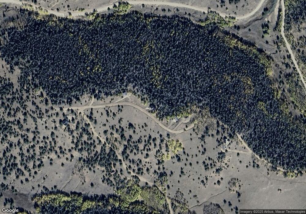
Map
Nearby Homes
- 550 Cr 358
- 9496 County Road 328
- 152 Wulsten Way
- 2177 County Road 341
- 1210 Engelman Rd
- 000 Cr 328
- 532 Atlasta Dr
- 436 Atlasta Dr
- 2240 Cr 341
- 1702 Cr 327
- 2299 Cr 328
- 2716 County Road 327
- 1702 County Road 327
- 1716 County Road 327
- 2141 County Road 341
- 1564 Larkspur Ln
- 1234 Edelweiss Dr
- 2240 County Road 341
- 2138 County Road 341
- 1115 Eagles Gate Rd
- 2047 Junkins Loop
- 2001 Junkins Loop
- Unassigned Unassigned
- 1959 Junkins Loop
- 0 Junkins Place Unit C220561
- 0 Junkins Place Unit 1213038
- 0 Junkins Place Unit 2310117
- None Junkins Place Unit 72A
- 100 Junkins Place Unit 72A
- None Junkins Place
- 100 Junkins Place
- 930 County Road 358 Unit 63
- 930 County Road 358
- 0 Cr 358 Unit 7797251
- 14 Junkins Loop
- TBD Junkins Place
- 2300 Junkins Loop
- 1767 Junkins Loop
- 1210 County Road 358
- 474 County Road 358
Your Personal Tour Guide
Ask me questions while you tour the home.