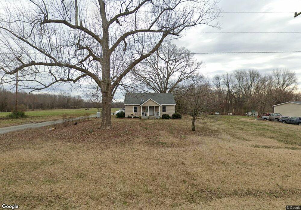
2047 Keesee Rd Mc Leansville, NC 27301
Estimated Value: $254,000 - $625,177
4
Beds
1
Bath
1,379
Sq Ft
$280/Sq Ft
Est. Value
About This Home
This home is located at 2047 Keesee Rd, Mc Leansville, NC 27301 and is currently estimated at $385,544, approximately $279 per square foot. 2047 Keesee Rd is a home located in Guilford County with nearby schools including Alamance Elementary School, Southeast Guilford Middle School, and Southeast Guilford High School.
Ownership History
Date
Name
Owned For
Owner Type
Purchase Details
Closed on
Jan 12, 2017
Sold by
Ward Gregg Lewis and Ward Amber Hayden
Bought by
Ward Farms Of Whitsett Llc
Current Estimated Value
Home Financials for this Owner
Home Financials are based on the most recent Mortgage that was taken out on this home.
Original Mortgage
$1,533,325
Outstanding Balance
$1,266,475
Interest Rate
4.2%
Mortgage Type
Construction
Estimated Equity
-$880,931
Purchase Details
Closed on
Nov 24, 1999
Sold by
Ward Wilma P
Bought by
Ward Gregg L
Create a Home Valuation Report for This Property
The Home Valuation Report is an in-depth analysis detailing your home's value as well as a comparison with similar homes in the area
Home Values in the Area
Average Home Value in this Area
Purchase History
| Date | Buyer | Sale Price | Title Company |
|---|---|---|---|
| Ward Farms Of Whitsett Llc | -- | None Available | |
| Ward Gregg Lewis | -- | None Available | |
| Ward Gregg L | -- | -- |
Source: Public Records
Mortgage History
| Date | Status | Borrower | Loan Amount |
|---|---|---|---|
| Open | Ward Farms Of Whitsett Llc | $1,533,325 |
Source: Public Records
Tax History Compared to Growth
Tax History
| Year | Tax Paid | Tax Assessment Tax Assessment Total Assessment is a certain percentage of the fair market value that is determined by local assessors to be the total taxable value of land and additions on the property. | Land | Improvement |
|---|---|---|---|---|
| 2025 | $3,524 | $397,700 | $353,500 | $44,200 |
| 2024 | $3,524 | $397,700 | $353,500 | $44,200 |
| 2023 | $3,524 | $397,700 | $353,500 | $44,200 |
| 2022 | $859 | $397,700 | $353,500 | $44,200 |
| 2021 | $630 | $300,900 | $277,700 | $23,200 |
| 2020 | $604 | $300,900 | $277,700 | $23,200 |
| 2019 | $603 | $71,061 | $0 | $0 |
| 2018 | $600 | $71,061 | $0 | $0 |
| 2017 | $590 | $71,061 | $0 | $0 |
| 2016 | $590 | $69,062 | $0 | $0 |
| 2015 | $594 | $69,062 | $0 | $0 |
| 2014 | $601 | $69,062 | $0 | $0 |
Source: Public Records
Map
Nearby Homes
- 4600 Mcconnell Rd
- Meadowlark Plan at McConnell Ridge
- Sparrow Plan at McConnell Ridge
- 3425 Pilot Mill Dr
- 3435 Pilot Mill Dr
- 2403 Idol Mill Dr
- 4555 Dillon Mill Dr
- 5829 Thacker Dairy Rd
- 4416 Mcconnell Rd
- 4539 Dillon Mill Dr
- 5438 Wild Turkey Rd
- 1519 Bowmore Place
- 5100 Zante Rd
- 5100 and 5100 ZZ Zante Rd
- 5001 Robert Andrew Rd
- 1504 Guinness Dr
- 1400 Covered Wagon Rd
- 5530 Linch Rd
- 4562 Dillon Mill Dr
- 2416 Idol Mill Dr
- 2634 Overhill Loop
- 2642 Overhill Loop
- 2638 Overhill Loop
- 2636 Overhill Loop
- 2057 Keesee Rd
- 2624 Overhill Loop
- 2645 Overhill Loop
- 2043 Keesee Rd
- 2623 Overhill Loop
- 2622 Overhill Loop
- 2646 Overhill Loop
- 2620 Overhill Loop
- 2618 Overhill Loop
- 2039 Keesee Rd
- 2067 Keesee Rd
- 2653 Overhill Loop
- 2616 Overhill Loop
- 2654 Overhill Loop
- 2050 Keesee Rd
- 2046 Keesee Rd