2047 N Robert St Lakeside Marblehead, OH 43440
Estimated Value: $404,000 - $563,000
3
Beds
3
Baths
1,667
Sq Ft
$276/Sq Ft
Est. Value
About This Home
This home is located at 2047 N Robert St, Lakeside Marblehead, OH 43440 and is currently estimated at $459,281, approximately $275 per square foot. 2047 N Robert St is a home located in Ottawa County with nearby schools including Danbury Middle School and Danbury High School.
Ownership History
Date
Name
Owned For
Owner Type
Purchase Details
Closed on
Aug 27, 2004
Sold by
Worley William H and Worley Gayle A
Bought by
Zvosec Daniel P and Zvosec Debra K
Current Estimated Value
Home Financials for this Owner
Home Financials are based on the most recent Mortgage that was taken out on this home.
Original Mortgage
$172,000
Interest Rate
6.08%
Mortgage Type
Purchase Money Mortgage
Create a Home Valuation Report for This Property
The Home Valuation Report is an in-depth analysis detailing your home's value as well as a comparison with similar homes in the area
Home Values in the Area
Average Home Value in this Area
Purchase History
| Date | Buyer | Sale Price | Title Company |
|---|---|---|---|
| Zvosec Daniel P | $215,000 | -- |
Source: Public Records
Mortgage History
| Date | Status | Borrower | Loan Amount |
|---|---|---|---|
| Closed | Zvosec Daniel P | $172,000 |
Source: Public Records
Tax History
| Year | Tax Paid | Tax Assessment Tax Assessment Total Assessment is a certain percentage of the fair market value that is determined by local assessors to be the total taxable value of land and additions on the property. | Land | Improvement |
|---|---|---|---|---|
| 2024 | $5,589 | $163,310 | $81,466 | $81,844 |
| 2023 | $5,566 | $103,999 | $54,306 | $49,693 |
| 2022 | $3,590 | $103,999 | $54,306 | $49,693 |
| 2021 | $3,601 | $104,000 | $54,310 | $49,690 |
| 2020 | $3,063 | $83,710 | $38,240 | $45,470 |
| 2019 | $2,834 | $83,710 | $38,240 | $45,470 |
| 2018 | $3,036 | $83,710 | $38,240 | $45,470 |
| 2017 | $2,590 | $69,800 | $33,260 | $36,540 |
| 2016 | $2,566 | $69,800 | $33,260 | $36,540 |
| 2015 | $2,579 | $69,800 | $33,260 | $36,540 |
| 2014 | $1,231 | $64,820 | $33,260 | $31,560 |
| 2013 | $2,300 | $64,820 | $33,260 | $31,560 |
Source: Public Records
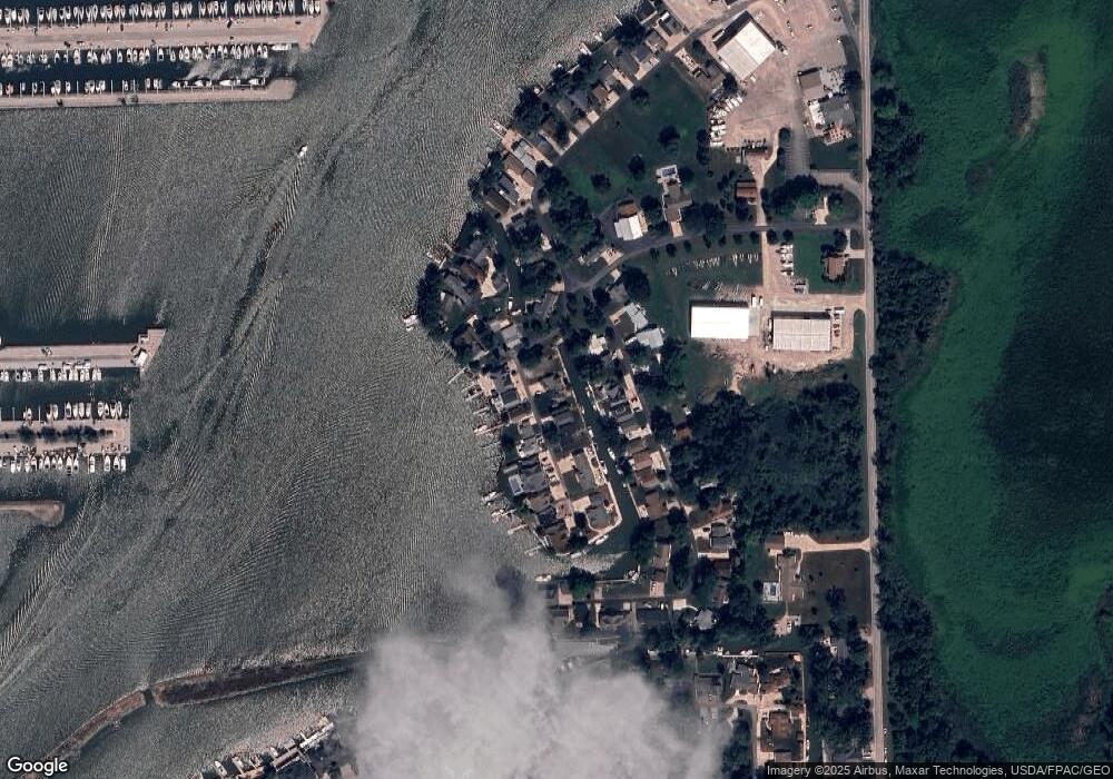
Map
Nearby Homes
- 1921 N Nan Ave
- 1760 N Merrimac Ave
- 1600 N Buck Rd Unit 35
- 1600 N Buck Rd Unit 6
- 1600 N Buck Rd Unit 61
- 1600 N Buck Lot 5 Ash
- 1963 NE Catawba Rd Unit 421
- 1963 NE Catawba Rd Unit 411
- 1963 NE Catawba Rd Unit 422
- 1963 NE Catawba Rd Unit 431
- 5475 E Mabel Dr
- 1510 N Buck Rd Unit 14
- 1661 N Windward Dr
- 2820 N Noreaster Cove Dr Unit 1
- 2822 N Noreaster Cove Dr
- 0 N Windward Dr Unit W-116
- 1660 N Compass Ave
- 1859 NE Catawba Rd Unit 125
- 2888 N Coho Dr
- 5409 Pintail Dr
- 2059 N Robert St
- 2029 N Robert St
- 2048 Robert Dr
- 2048 N Robert St
- 2038 N Robert St
- 2060 N Robert St
- 2030 N Robert St
- 2021 N Robert Dr
- 2060 N Nan Ave
- 2021 N Robert St
- 5760 E Carl Ave
- 2022 N Robert St
- 2030 N Nan Ave
- 2085 N Robert St
- 2022 N Nan Ave
- 5784 E Carl Ave
- 2014 N Robert St
- 2014 N Nan Ave
- 2104 N Robert St
- 1995 N Robert St
Your Personal Tour Guide
Ask me questions while you tour the home.