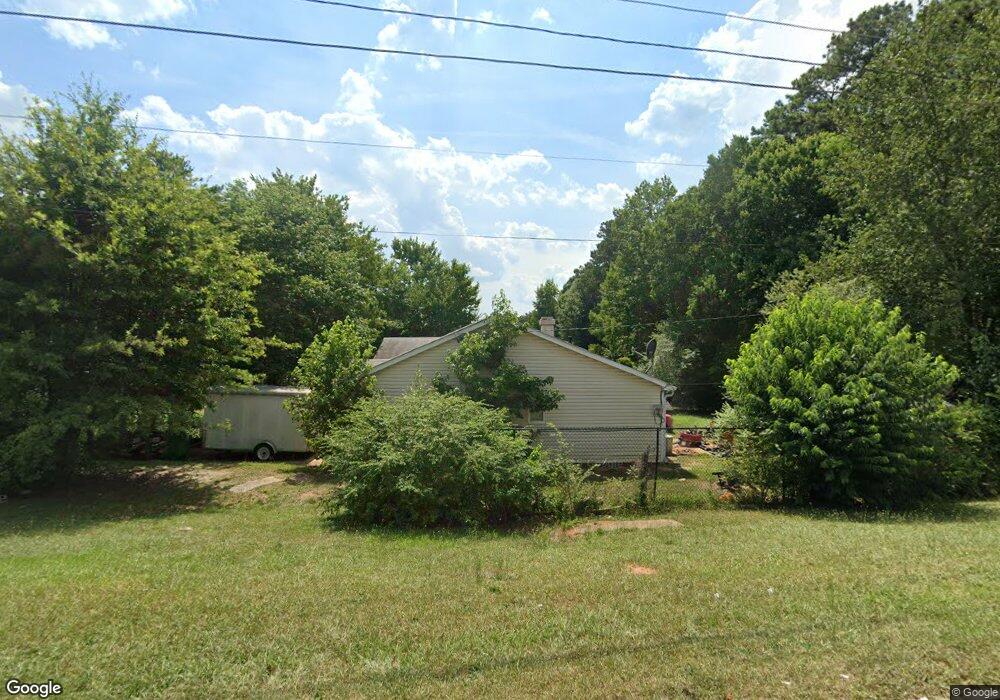
2047 Phillips Rd Unit 1 Lithonia, GA 30058
Estimated Value: $199,000 - $223,000
3
Beds
2
Baths
1,440
Sq Ft
$145/Sq Ft
Est. Value
About This Home
This home is located at 2047 Phillips Rd Unit 1, Lithonia, GA 30058 and is currently estimated at $209,054, approximately $145 per square foot. 2047 Phillips Rd Unit 1 is a home located in DeKalb County with nearby schools including Redan Elementary School, Lithonia Middle School, and Lithonia High School.
Ownership History
Date
Name
Owned For
Owner Type
Purchase Details
Closed on
Sep 20, 2006
Sold by
Baah Samuel K and Baah Karen
Bought by
Johnson Horace
Current Estimated Value
Home Financials for this Owner
Home Financials are based on the most recent Mortgage that was taken out on this home.
Original Mortgage
$117,967
Outstanding Balance
$70,107
Interest Rate
6.48%
Mortgage Type
FHA
Estimated Equity
$138,947
Purchase Details
Closed on
May 25, 2000
Sold by
Hunt Raymond and Hunt Dawn
Bought by
Baah Samuel K and Baah Karen
Home Financials for this Owner
Home Financials are based on the most recent Mortgage that was taken out on this home.
Original Mortgage
$88,827
Interest Rate
8.55%
Mortgage Type
FHA
Create a Home Valuation Report for This Property
The Home Valuation Report is an in-depth analysis detailing your home's value as well as a comparison with similar homes in the area
Home Values in the Area
Average Home Value in this Area
Purchase History
We collect this data history from publicly available records. To have your information removed, we recommend requesting removal directly through your county’s website.
| Date | Buyer | Sale Price | Title Company |
|---|---|---|---|
| Johnson Horace | $118,900 | -- | |
| Baah Samuel K | $90,000 | -- |
Source: Public Records
Mortgage History
We collect this data history from publicly available records. To have your information removed, we recommend requesting removal directly through your county’s website.
| Date | Status | Borrower | Loan Amount |
|---|---|---|---|
| Open | Johnson Horace | $117,967 | |
| Previous Owner | Baah Samuel K | $88,827 |
Source: Public Records
Tax History
| Year | Tax Paid | Tax Assessment Tax Assessment Total Assessment is a certain percentage of the fair market value that is determined by local assessors to be the total taxable value of land and additions on the property. | Land | Improvement |
|---|---|---|---|---|
| 2025 | $2,385 | $84,920 | $14,240 | $70,680 |
| 2024 | $2,450 | $85,560 | $14,240 | $71,320 |
| 2023 | $2,450 | $77,160 | $14,240 | $62,920 |
| 2022 | $1,879 | $64,200 | $14,240 | $49,960 |
| 2021 | $1,663 | $54,840 | $5,720 | $49,120 |
| 2020 | $1,384 | $42,560 | $5,720 | $36,840 |
| 2019 | $1,175 | $36,760 | $5,720 | $31,040 |
| 2018 | $900 | $33,000 | $5,720 | $27,280 |
| 2017 | $901 | $28,000 | $2,680 | $25,320 |
| 2016 | $882 | $27,040 | $2,680 | $24,360 |
| 2014 | $646 | $21,040 | $2,680 | $18,360 |
Source: Public Records
Map
Nearby Homes
- 6319 Phillips Creek Dr
- 6279 Giles Rd
- 2191 Phillips Rd
- 2096 W Morgans Bluff Ct
- 6381 Phillips Creek Dr
- 6238 Phillips Lake Cove
- 2107 Bedford Ct
- 6160 Marbut Farms Chase
- 6388 Eastbriar Dr
- 6202 Saint Christophers Ct
- 6653 Eastbriar Dr
- 6158 Raintree Bend
- 6254 Marbut Farms Trail
- 6185 Marbut Farms Chase
- 6420 Marbut Rd
- 6163 Remington Park
- 6235 Marbut Farms Trail
- 6248 Marbut Farms Ln
- 2169 Victoria Place
- 6470 Bedford Ln
- 6280 Phillips Corners Rd
- 0 Phillips Corner Unit 7056754
- 6280 Phillips Corners Rd Unit 2
- 6280 Phillips Corners Rd
- 6280 Phillips Corner Rd
- 6274 Phillips Corners Rd
- 2059 Phillips Rd
- 6303 Stablewood Way
- 2024 Corners Cir
- 2033 Phillips Rd
- 2049 Stablewood Cove
- 2063 Phillips Rd
- 6302 Stablewood Way
- 6309 Stablewood Way
- 2038 Corners Cir
- 2051 Stablewood Cove
- 2020 Corners Cir
- 6308 Stablewood Way
- 2069 Phillips Rd Unit 1
- 2044 Corners Cir
Your Personal Tour Guide
Ask me questions while you tour the home.