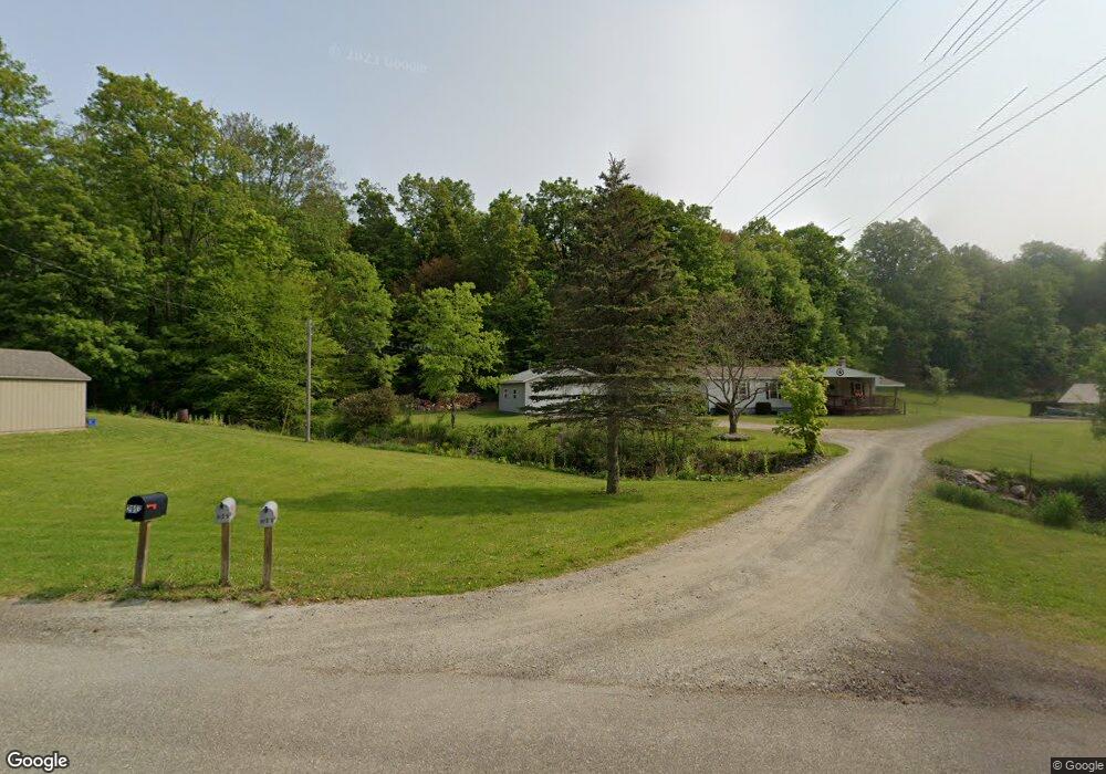
2047 Roaring Branch Rd Roaring Branch, PA 17765
Estimated Value: $99,000 - $237,000
3
Beds
2
Baths
1,248
Sq Ft
$146/Sq Ft
Est. Value
About This Home
This home is located at 2047 Roaring Branch Rd, Roaring Branch, PA 17765 and is currently estimated at $182,775, approximately $146 per square foot. 2047 Roaring Branch Rd is a home located in Lycoming County with nearby schools including Liberty Elementary School and North Penn-Liberty Jr./Sr. High School.
Ownership History
Date
Name
Owned For
Owner Type
Purchase Details
Closed on
Apr 27, 2011
Sold by
Shellenberger Dale E and Shellenberger Cynthia L
Bought by
Blair Joyce A and Schmouder Joanne D
Current Estimated Value
Purchase Details
Closed on
Apr 27, 2010
Sold by
Tripp Donald R
Bought by
Shellenberger Dale E and Shellenberger Cynthia L
Purchase Details
Closed on
May 1, 1987
Bought by
Shellenberger Dale E and Shellenberger Cynthia
Create a Home Valuation Report for This Property
The Home Valuation Report is an in-depth analysis detailing your home's value as well as a comparison with similar homes in the area
Home Values in the Area
Average Home Value in this Area
Purchase History
| Date | Buyer | Sale Price | Title Company |
|---|---|---|---|
| Blair Joyce A | -- | None Available | |
| Shellenberger Dale E | -- | None Available | |
| Shellenberger Dale E | $10,000 | -- |
Source: Public Records
Tax History Compared to Growth
Tax History
| Year | Tax Paid | Tax Assessment Tax Assessment Total Assessment is a certain percentage of the fair market value that is determined by local assessors to be the total taxable value of land and additions on the property. | Land | Improvement |
|---|---|---|---|---|
| 2025 | $2,625 | $103,230 | $22,550 | $80,680 |
| 2024 | $2,620 | $103,230 | $22,550 | $80,680 |
| 2023 | $2,568 | $103,230 | $22,550 | $80,680 |
| 2022 | $2,493 | $103,230 | $22,550 | $80,680 |
| 2021 | $2,474 | $103,230 | $22,550 | $80,680 |
| 2020 | $2,518 | $103,230 | $22,550 | $80,680 |
| 2019 | $2,496 | $103,230 | $22,550 | $80,680 |
| 2018 | $2,370 | $103,230 | $22,550 | $80,680 |
| 2017 | $2,252 | $103,230 | $22,550 | $80,680 |
| 2016 | $2,136 | $103,230 | $22,550 | $80,680 |
| 2015 | $2,136 | $103,230 | $22,550 | $80,680 |
Source: Public Records
Map
Nearby Homes
- 47 E Hill St
- 4489 Williamson Trail
- 828 Bloss Mountain Rd
- 8065 Route 414
- 1177 Bloss Mountain Rd
- 565 Brion Hill Rd
- 2218 Mountain Top Rd
- 84 Green Hill Rd
- 70 Greens Hill Rd
- 1485 4 Mile Rd
- 68 Charles St
- 5407 Route 14
- 1235 Pleasant Stream Rd
- 13183 State Route 414
- 13632 Route 414
- 238 S Williamson Rd
- 265 Gulick St
- 206 Walnut St
- 2155 Slacks Run Rd
- 221 S Williamson Rd
- 2013 Roaring Branch Rd
- 2113 Roaring Branch Rd
- 1959 Roaring Branch Rd
- 2263 Roaring Branch Rd
- 1634 Marshall Rd
- 1431 Roaring Branch Rd
- 1274 Marshall Rd
- 409 Kehler School Rd
- 410 Forman Hollow Rd
- 302 Forman Hollow Rd
- 2791 Roaring Branch Rd
- 162 Forman Hollow Rd
- 1216 Roaring Branch Rd
- 27 Kehler School Rd
- 981 Forman Hollow Rd
- 1152 Forman Hollow Rd
- 1101 Forman Hollow Rd
- 1227 Farm Rd