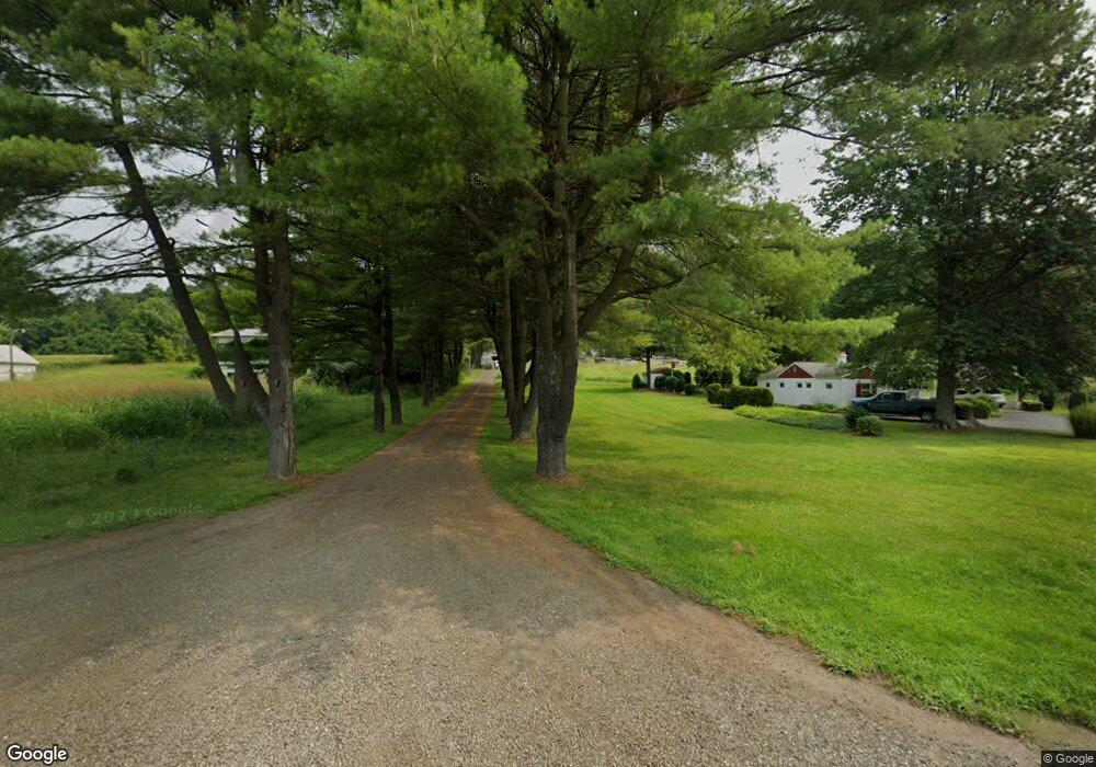
20470 State Route 60 Beverly, OH 45715
Estimated Value: $211,000 - $263,000
4
Beds
2
Baths
1,260
Sq Ft
$193/Sq Ft
Est. Value
About This Home
This home is located at 20470 State Route 60, Beverly, OH 45715 and is currently estimated at $242,858, approximately $192 per square foot. 20470 State Route 60 is a home with nearby schools including Fort Frye High School.
Ownership History
Date
Name
Owned For
Owner Type
Purchase Details
Closed on
Nov 19, 2014
Sold by
Drayer Melisa D
Bought by
Drayer Christopher E
Current Estimated Value
Home Financials for this Owner
Home Financials are based on the most recent Mortgage that was taken out on this home.
Original Mortgage
$91,900
Outstanding Balance
$30,063
Interest Rate
3.97%
Mortgage Type
New Conventional
Estimated Equity
$212,795
Purchase Details
Closed on
Jan 27, 2012
Sold by
Drayer Christopher E and Drayer Melisa D
Bought by
Burge Randall L and Burge Norma J
Purchase Details
Closed on
Apr 9, 1998
Bought by
Drayer Christopher E and Drayer M
Create a Home Valuation Report for This Property
The Home Valuation Report is an in-depth analysis detailing your home's value as well as a comparison with similar homes in the area
Purchase History
| Date | Buyer | Sale Price | Title Company |
|---|---|---|---|
| Drayer Christopher E | -- | Northwest Title | |
| Burge Randall L | $1,000 | Attorney | |
| Drayer Christopher E | $120,000 | -- | |
| Drayer Christopher E | $120,000 | -- |
Source: Public Records
Mortgage History
| Date | Status | Borrower | Loan Amount |
|---|---|---|---|
| Open | Drayer Christopher E | $91,900 |
Source: Public Records
Tax History
| Year | Tax Paid | Tax Assessment Tax Assessment Total Assessment is a certain percentage of the fair market value that is determined by local assessors to be the total taxable value of land and additions on the property. | Land | Improvement |
|---|---|---|---|---|
| 2024 | $1,939 | $63,480 | $11,100 | $52,380 |
| 2023 | $1,847 | $63,480 | $11,100 | $52,380 |
| 2022 | $1,841 | $63,480 | $11,100 | $52,380 |
| 2021 | $1,745 | $58,520 | $9,940 | $48,580 |
| 2020 | $1,748 | $58,520 | $9,940 | $48,580 |
| 2019 | $1,744 | $58,520 | $9,940 | $48,580 |
| 2018 | $1,748 | $57,250 | $9,040 | $48,210 |
| 2017 | $1,754 | $57,250 | $9,040 | $48,210 |
| 2016 | $3,430 | $57,250 | $9,040 | $48,210 |
| 2015 | $1,720 | $53,820 | $8,720 | $45,100 |
| 2014 | $3,206 | $53,820 | $8,720 | $45,100 |
| 2013 | $1,669 | $53,820 | $8,720 | $45,100 |
Source: Public Records
Map
Nearby Homes
- 22 Spring St
- 0 Spring St Unit 5105838
- 4 Center St
- 5 Center St
- 0 Milner Rd
- 500 Applegate Dr
- 322 and 318 3rd St
- 31 Leget St
- 0 Ohio 339
- 395 Main St
- 590 Stony Run Rd
- 911 Ohio 83
- 570 Coal Run Dr
- 2050 Ohio 266
- 0 T649
- 3439 Columbus St
- 5855 Olney Run Rd
- 0 Kern Rd Unit 5174181
- 0 Kern Rd Unit 5174191
- 0 Kern Rd Unit 5174186
- 20476 State Route 60
- 20460 State Route 60
- 20350 State Route 60
- 20440 State Route 60
- 20420 State Route 60
- 20390 State Route 60
- 20370 State Route 60
- 20435 State Route 60
- 20475 State Route 60
- 20330 State Route 60
- 20317 State Route 60
- 20300 State Route 60
- 20290 State Route 60
- 20290 Ohio 60
- 20250 State Route 60
- 20292 Ohio 60
- 20220 State Route 60
- 2232 Ohio 83
- 2790 Ohio 83
- 20870 Ohio 60
Your Personal Tour Guide
Ask me questions while you tour the home.
