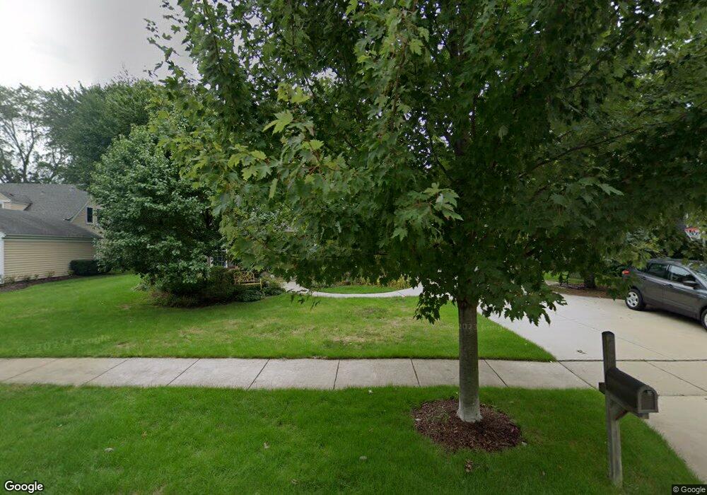
2048 Butternut Ln Northbrook, IL 60062
Estimated Value: $844,197 - $1,059,000
4
Beds
4
Baths
2,246
Sq Ft
$407/Sq Ft
Est. Value
About This Home
This home is located at 2048 Butternut Ln, Northbrook, IL 60062 and is currently estimated at $914,049, approximately $406 per square foot. 2048 Butternut Ln is a home located in Cook County with nearby schools including Wescott Elementary School, Maple School, and Glenbrook North High School.
Ownership History
Date
Name
Owned For
Owner Type
Purchase Details
Closed on
Dec 1, 2000
Sold by
Chicago Title Land Trust Company
Bought by
Rooke Robert J and Rooke Linda E
Current Estimated Value
Home Financials for this Owner
Home Financials are based on the most recent Mortgage that was taken out on this home.
Original Mortgage
$370,000
Outstanding Balance
$128,469
Interest Rate
7.62%
Estimated Equity
$785,580
Create a Home Valuation Report for This Property
The Home Valuation Report is an in-depth analysis detailing your home's value as well as a comparison with similar homes in the area
Home Values in the Area
Average Home Value in this Area
Purchase History
| Date | Buyer | Sale Price | Title Company |
|---|---|---|---|
| Rooke Robert J | $550,000 | -- |
Source: Public Records
Mortgage History
| Date | Status | Borrower | Loan Amount |
|---|---|---|---|
| Open | Rooke Robert J | $370,000 |
Source: Public Records
Tax History
| Year | Tax Paid | Tax Assessment Tax Assessment Total Assessment is a certain percentage of the fair market value that is determined by local assessors to be the total taxable value of land and additions on the property. | Land | Improvement |
|---|---|---|---|---|
| 2025 | $13,590 | $80,000 | $18,216 | $61,784 |
| 2024 | $13,590 | $60,814 | $18,216 | $42,598 |
| 2023 | $13,196 | $60,814 | $18,216 | $42,598 |
| 2022 | $13,196 | $60,814 | $18,216 | $42,598 |
| 2021 | $11,629 | $48,108 | $14,572 | $33,536 |
| 2020 | $11,572 | $48,108 | $14,572 | $33,536 |
| 2019 | $11,135 | $52,866 | $14,572 | $38,294 |
| 2018 | $10,223 | $45,318 | $12,751 | $32,567 |
| 2017 | $10,027 | $45,318 | $12,751 | $32,567 |
| 2016 | $9,209 | $45,318 | $12,751 | $32,567 |
| 2015 | $8,587 | $38,487 | $10,322 | $28,165 |
| 2014 | $8,386 | $38,487 | $10,322 | $28,165 |
| 2013 | $8,265 | $38,487 | $10,322 | $28,165 |
Source: Public Records
Map
Nearby Homes
- 2090 Shermer Rd
- 1904 Somerset Ln Unit 48
- 1817 Somerset Ln Unit 24
- 1772 Lancaster Way
- 1941 Kingsley Cir
- 2050 Valencia Dr Unit 300C
- 2050 Valencia Dr Unit 405C
- 1943 Sunnyside Cir
- 2117 Illinois Rd
- 2329 Illinois Rd
- 1914 Farnsworth Ln Unit 208
- 1914 Farnsworth Ln Unit 303
- 2571 Essex Dr
- 2335 Maple Ave
- 2431 Cobblewood Dr Unit 9
- 102 Yale Ct Unit 34LH10
- 2419 Center Ave
- 1443 Church St
- 1444 Sycamore Ln
- 1341 Pfingsten Rd
- 2038 Butternut Ln
- 2058 Butternut Ln
- 2051 Glendale Ave
- 2041 Glendale Ave
- 2061 Glendale Ave
- 2028 Butternut Ln
- 2068 Butternut Ln
- 2047 Butternut Ln
- 2037 Butternut Ln
- 2057 Butternut Ln
- 2031 Glendale Ave
- 2071 Glendale Ave
- 2027 Butternut Ln
- 2018 Butternut Ln
- 2104 Butternut Ln
- 2021 Glendale Ave
- 2107 Glendale Ave
- 2017 Butternut Ln
- 2050 Glendale Ave
- 2060 Glendale Ave
Your Personal Tour Guide
Ask me questions while you tour the home.