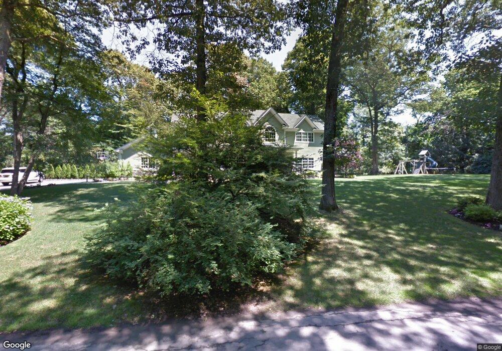
2048 Crest Rd Syosset, NY 11791
Estimated Value: $2,261,000 - $2,417,099
Studio
5
Baths
3,907
Sq Ft
$599/Sq Ft
Est. Value
About This Home
This home is located at 2048 Crest Rd, Syosset, NY 11791 and is currently estimated at $2,339,050, approximately $598 per square foot. 2048 Crest Rd is a home located in Nassau County with nearby schools including Syosset Senior High School, St Edward Confessor School, and St Dominic Elementary and Middle School.
Ownership History
Date
Name
Owned For
Owner Type
Purchase Details
Closed on
Aug 29, 2007
Sold by
Gawrychowski Peter
Bought by
Repole Gerard
Current Estimated Value
Purchase Details
Closed on
Jan 17, 1996
Sold by
Meyers Eugene and Meyers Marietta
Bought by
Gawrychowski Peter and Gawrychowski Noreen
Home Financials for this Owner
Home Financials are based on the most recent Mortgage that was taken out on this home.
Original Mortgage
$350,000
Interest Rate
7.13%
Create a Home Valuation Report for This Property
The Home Valuation Report is an in-depth analysis detailing your home's value as well as a comparison with similar homes in the area
Home Values in the Area
Average Home Value in this Area
Purchase History
| Date | Buyer | Sale Price | Title Company |
|---|---|---|---|
| Repole Gerard | $1,530,000 | -- | |
| Gawrychowski Peter | $550,000 | -- |
Source: Public Records
Mortgage History
| Date | Status | Borrower | Loan Amount |
|---|---|---|---|
| Previous Owner | Gawrychowski Peter | $350,000 |
Source: Public Records
Tax History
| Year | Tax Paid | Tax Assessment Tax Assessment Total Assessment is a certain percentage of the fair market value that is determined by local assessors to be the total taxable value of land and additions on the property. | Land | Improvement |
|---|---|---|---|---|
| 2025 | $37,616 | $1,440 | $697 | $743 |
| 2024 | $4,739 | $1,460 | $707 | $753 |
Source: Public Records
Map
Nearby Homes
Your Personal Tour Guide
Ask me questions while you tour the home.