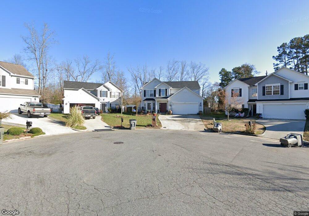
2048 Quill Ct Kannapolis, NC 28083
Estimated Value: $368,000 - $398,000
4
Beds
3
Baths
2,226
Sq Ft
$172/Sq Ft
Est. Value
About This Home
This home is located at 2048 Quill Ct, Kannapolis, NC 28083 and is currently estimated at $383,034, approximately $172 per square foot. 2048 Quill Ct is a home located in Cabarrus County with nearby schools including Forest Park Elementary School, Kannapolis Middle, and A.L. Brown High School.
Ownership History
Date
Name
Owned For
Owner Type
Purchase Details
Closed on
Mar 31, 2005
Sold by
Southampton Group Llc
Bought by
Rosas Victor and Rosas Yenny
Current Estimated Value
Home Financials for this Owner
Home Financials are based on the most recent Mortgage that was taken out on this home.
Original Mortgage
$128,600
Outstanding Balance
$70,490
Interest Rate
6.75%
Mortgage Type
Purchase Money Mortgage
Estimated Equity
$312,544
Create a Home Valuation Report for This Property
The Home Valuation Report is an in-depth analysis detailing your home's value as well as a comparison with similar homes in the area
Home Values in the Area
Average Home Value in this Area
Purchase History
| Date | Buyer | Sale Price | Title Company |
|---|---|---|---|
| Rosas Victor | $161,000 | -- |
Source: Public Records
Mortgage History
| Date | Status | Borrower | Loan Amount |
|---|---|---|---|
| Open | Rosas Victor | $128,600 | |
| Closed | Rosas Victor | $32,150 |
Source: Public Records
Tax History Compared to Growth
Tax History
| Year | Tax Paid | Tax Assessment Tax Assessment Total Assessment is a certain percentage of the fair market value that is determined by local assessors to be the total taxable value of land and additions on the property. | Land | Improvement |
|---|---|---|---|---|
| 2025 | $4,026 | $354,560 | $69,000 | $285,560 |
| 2024 | $4,026 | $354,560 | $69,000 | $285,560 |
| 2023 | $2,962 | $216,230 | $41,000 | $175,230 |
| 2022 | $2,962 | $216,230 | $41,000 | $175,230 |
| 2021 | $2,962 | $216,230 | $41,000 | $175,230 |
| 2020 | $2,962 | $216,230 | $41,000 | $175,230 |
| 2019 | $2,239 | $163,420 | $17,000 | $146,420 |
| 2018 | $2,206 | $163,420 | $17,000 | $146,420 |
| 2017 | $2,165 | $162,810 | $17,000 | $145,810 |
| 2016 | $2,165 | $173,030 | $25,000 | $148,030 |
| 2015 | $2,180 | $173,030 | $25,000 | $148,030 |
| 2014 | $2,180 | $173,030 | $25,000 | $148,030 |
Source: Public Records
Map
Nearby Homes
- 252 Forest Pond Rd
- 2495 Centergrove Rd
- 2412 Brantley Rd
- 1422 Midlake Rd
- 4750 J W Cline Rd
- 2211 Medlin Ct
- 2208 Brantley Rd
- 839 Anchor Way NE
- 2122 Brantley Rd
- 00 Dixie Dr
- 915 Harbour View Cove NE
- 2010 Samantha Dr
- 1517 Jamaica Rd
- 2040 Brantley Creek Dr
- 516 Collins St
- 141 Beaumont Ave
- 108 S Little Texas Rd
- 137 Beaumont Ave
- 1351 Ontario Dr
- 1526 Shepard St
- 2056 Quill Ct
- 2044 Quill Ct
- 2135 Clear Brook Dr
- 1177 Midlake Rd Unit A1
- 2139 Clear Brook Dr
- 2129 Clear Brook Dr
- 2040 Quill Ct
- 2047 Quill Ct
- 2143 Clear Brook Dr
- 2123 Clear Brook Dr
- 1185 Midlake Rd
- 2117 Clear Brook Dr
- 2147 Clear Brook Dr
- 2036 Quill Ct
- 2043 Quill Ct
- 2113 Clear Brook Dr
- 2039 Quill Ct
- 1223 Midlake Rd
- 2032 Quill Ct
- 2109 Clear Brook Dr