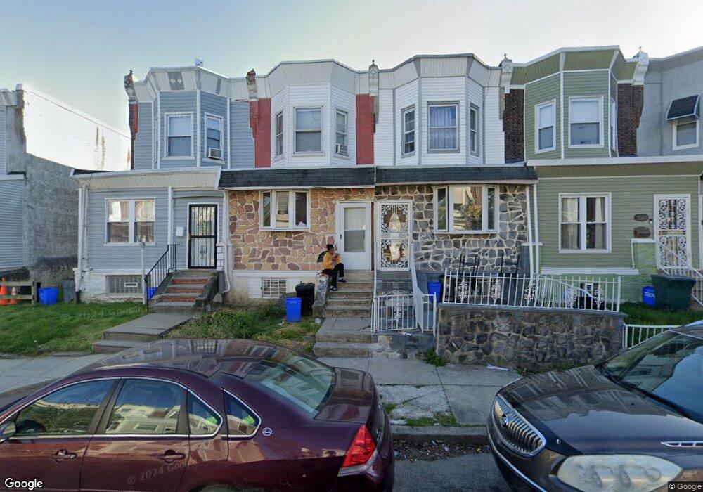
2048 S Salford St Philadelphia, PA 19143
Paschall NeighborhoodEstimated Value: $124,000 - $141,000
3
Beds
1
Bath
1,282
Sq Ft
$105/Sq Ft
Est. Value
About This Home
This home is located at 2048 S Salford St, Philadelphia, PA 19143 and is currently estimated at $134,341, approximately $104 per square foot. 2048 S Salford St is a home located in Philadelphia County with nearby schools including Mitchell Elementary, John Bartram High School, and Independence Charter School West.
Ownership History
Date
Name
Owned For
Owner Type
Purchase Details
Closed on
Jul 30, 2008
Sold by
Ap Residential Realty Inc
Bought by
Tbi Investing Llc
Current Estimated Value
Purchase Details
Closed on
Feb 26, 2007
Sold by
Macbrown James and Brown Michael
Bought by
Ap Residential Realty Inc
Purchase Details
Closed on
Apr 11, 2000
Sold by
Reed Mary Sue
Bought by
Macbrown James and Brown Michael
Create a Home Valuation Report for This Property
The Home Valuation Report is an in-depth analysis detailing your home's value as well as a comparison with similar homes in the area
Home Values in the Area
Average Home Value in this Area
Purchase History
| Date | Buyer | Sale Price | Title Company |
|---|---|---|---|
| Tbi Investing Llc | $15,000 | None Available | |
| Ap Residential Realty Inc | $5,500 | None Available | |
| Macbrown James | -- | -- |
Source: Public Records
Tax History Compared to Growth
Tax History
| Year | Tax Paid | Tax Assessment Tax Assessment Total Assessment is a certain percentage of the fair market value that is determined by local assessors to be the total taxable value of land and additions on the property. | Land | Improvement |
|---|---|---|---|---|
| 2025 | $1,188 | $107,300 | $21,460 | $85,840 |
| 2024 | $1,188 | $107,300 | $21,460 | $85,840 |
| 2023 | $1,188 | $84,900 | $16,900 | $68,000 |
| 2022 | $1,065 | $84,900 | $16,900 | $68,000 |
| 2021 | $1,065 | $0 | $0 | $0 |
| 2020 | $1,065 | $0 | $0 | $0 |
| 2019 | $983 | $0 | $0 | $0 |
| 2018 | $672 | $0 | $0 | $0 |
| 2017 | $672 | $0 | $0 | $0 |
| 2016 | $672 | $0 | $0 | $0 |
| 2015 | $643 | $0 | $0 | $0 |
| 2014 | -- | $48,000 | $5,738 | $42,262 |
| 2012 | -- | $6,464 | $935 | $5,529 |
Source: Public Records
Map
Nearby Homes
- 6083 Upland St
- 6001 Reinhard St
- 6021 Upland St
- 6006 Kingsessing Ave
- 2043 S Redfield St
- 6031 Reinhard St
- 2005 S Redfield St
- 6051 Upland St
- 2010 S 59th St
- 6061 Reinhard St
- 6072 Upland St
- 6075 Upland St
- 1927 S Salford St
- 1922 S Redfield St
- 6034 Regent St
- 6044 Regent St
- 6109 Upland St
- 6038 Chester Ave
- 6068 Regent St
- 5961 Chester Ave
- 2046 S Salford St
- 2050 S Salford St
- 2044 S Salford St
- 2052 S Salford St
- 2042 S Salford St
- 2054 S Salford St
- 2040 S Salford St
- 2038 S Salford St
- 2036 S Salford St
- 2045 S 60th St
- 5945 Greenway Ave
- 2043 S 60th St
- 5947 Greenway Ave
- 5943 Greenway Ave
- 5949 Greenway Ave
- 5951 Greenway Ave
- 2034 S Salford St
- 2049 S 60th St
- 2047 S 60th St
- 2047 S 60th St Unit 2