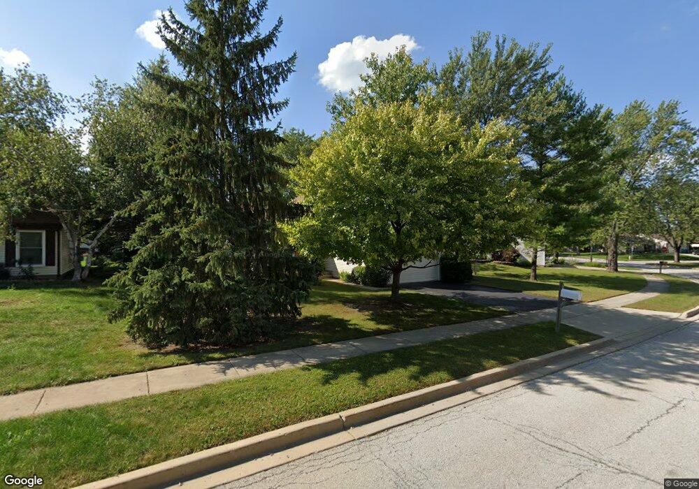
2048 Stonefield Dr Glendale Heights, IL 60139
Estimated Value: $402,846 - $455,000
4
Beds
3
Baths
1,941
Sq Ft
$220/Sq Ft
Est. Value
About This Home
This home is located at 2048 Stonefield Dr, Glendale Heights, IL 60139 and is currently estimated at $426,712, approximately $219 per square foot. 2048 Stonefield Dr is a home located in DuPage County with nearby schools including Marquardt Middle School, Glenbard East High School, and St Isidore School.
Ownership History
Date
Name
Owned For
Owner Type
Purchase Details
Closed on
Aug 29, 2014
Sold by
Sally Banks
Bought by
Banks Robert
Current Estimated Value
Purchase Details
Closed on
Jan 17, 1994
Sold by
Berardi Michael J and Berardi Marsha R
Bought by
Banks Robert and Banks Sally M
Home Financials for this Owner
Home Financials are based on the most recent Mortgage that was taken out on this home.
Original Mortgage
$120,000
Interest Rate
7.26%
Mortgage Type
Assumption
Create a Home Valuation Report for This Property
The Home Valuation Report is an in-depth analysis detailing your home's value as well as a comparison with similar homes in the area
Home Values in the Area
Average Home Value in this Area
Purchase History
| Date | Buyer | Sale Price | Title Company |
|---|---|---|---|
| Banks Robert | -- | None Available | |
| Banks Robert | $140,000 | West Counties Title Svcs Inc |
Source: Public Records
Mortgage History
| Date | Status | Borrower | Loan Amount |
|---|---|---|---|
| Previous Owner | Banks Robert | $120,000 |
Source: Public Records
Tax History Compared to Growth
Tax History
| Year | Tax Paid | Tax Assessment Tax Assessment Total Assessment is a certain percentage of the fair market value that is determined by local assessors to be the total taxable value of land and additions on the property. | Land | Improvement |
|---|---|---|---|---|
| 2024 | $8,277 | $97,868 | $32,477 | $65,391 |
| 2023 | $7,728 | $89,500 | $29,700 | $59,800 |
| 2022 | $7,222 | $77,820 | $24,190 | $53,630 |
| 2021 | $7,090 | $73,930 | $22,980 | $50,950 |
| 2020 | $6,687 | $72,130 | $22,420 | $49,710 |
| 2019 | $6,426 | $69,310 | $21,540 | $47,770 |
| 2018 | $6,650 | $65,790 | $20,990 | $44,800 |
| 2017 | $6,355 | $60,970 | $19,450 | $41,520 |
| 2016 | $6,043 | $56,430 | $18,000 | $38,430 |
| 2015 | $5,923 | $52,660 | $16,800 | $35,860 |
| 2014 | $7,575 | $65,250 | $16,800 | $48,450 |
| 2013 | $7,610 | $67,480 | $17,370 | $50,110 |
Source: Public Records
Map
Nearby Homes
- 2018 Stonefield Dr
- 89 Stonefield Dr
- 67 Stonefield Dr
- 133 Harding Ct
- 187 W Army Trail Rd
- 39 Mill Pond Dr
- 169 E Lake Ridge Dr Unit 21
- 2257 Lake Ridge Dr Unit 74
- 279 Blue Spruce Ln
- 1900 Basswood Ln
- 201 N Waters Edge Dr Unit 101
- 161 N Waters Edge Dr Unit 202
- 1943 Towner Ln
- 241 Army Trail Rd
- 1941 Aspen Ln
- 307 E Alpine Dr
- 1760 Lombard Ct
- 1890 Harvest Ln
- 2158 College Dr Unit 7
- 2155 College Dr Unit 7
- 2042 Stonefield Dr
- 2058 Stonefield Dr
- 75 Dennison Dr
- 71 Dennison Dr
- 2038 Stonefield Dr
- 2051 Stonefield Dr
- 2045 Stonefield Dr
- 67 Dennison Dr
- 2055 Stonefield Dr
- 2041 Stonefield Dr
- 2032 Stonefield Dr Unit 20
- 2061 Stonefield Dr
- 63 Dennison Dr
- 83 Burgess Dr
- 2035 Stonefield Dr
- 2071 Oriole Ln
- 2050 Audubon Dr
- 74 Dennison Dr
- 2046 Audubon Dr
- 2028 Stonefield Dr