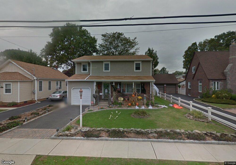
2048 Walnut St North Baldwin, NY 11510
Estimated Value: $650,021 - $731,000
Studio
2
Baths
1,862
Sq Ft
$371/Sq Ft
Est. Value
About This Home
This home is located at 2048 Walnut St, North Baldwin, NY 11510 and is currently estimated at $690,511, approximately $370 per square foot. 2048 Walnut St is a home located in Nassau County with nearby schools including Baldwin Senior High School.
Ownership History
Date
Name
Owned For
Owner Type
Purchase Details
Closed on
Mar 11, 2018
Sold by
Borello Michael J and Borello Regina M
Bought by
Borello Regina M
Current Estimated Value
Purchase Details
Closed on
Jun 18, 1999
Sold by
Clark William M and Clark Janet
Bought by
Borello Michael J and Borello Regina M
Home Financials for this Owner
Home Financials are based on the most recent Mortgage that was taken out on this home.
Original Mortgage
$23,500
Interest Rate
6.7%
Mortgage Type
Stand Alone Second
Create a Home Valuation Report for This Property
The Home Valuation Report is an in-depth analysis detailing your home's value as well as a comparison with similar homes in the area
Home Values in the Area
Average Home Value in this Area
Purchase History
| Date | Buyer | Sale Price | Title Company |
|---|---|---|---|
| Borello Regina M | -- | -- | |
| Borello Michael J | $235,000 | Stewart Title Insurance Co |
Source: Public Records
Mortgage History
| Date | Status | Borrower | Loan Amount |
|---|---|---|---|
| Closed | Borello Michael J | $23,500 | |
| Open | Borello Michael J | $188,000 |
Source: Public Records
Tax History Compared to Growth
Tax History
| Year | Tax Paid | Tax Assessment Tax Assessment Total Assessment is a certain percentage of the fair market value that is determined by local assessors to be the total taxable value of land and additions on the property. | Land | Improvement |
|---|---|---|---|---|
| 2025 | $13,847 | $449 | $156 | $293 |
| 2024 | $3,448 | $439 | $152 | $287 |
Source: Public Records
Map
Nearby Homes
- 2 Meadow Ln
- 441 New York Ave
- 1874 Rockville Dr
- 578 Seaman Ave
- 1854 Rockville Dr
- 619 Ashland Ave
- 1905 Bryant Place
- 549 Emerson Ave
- 12 Combes Ave
- 610 Emerson Ave
- 2 Florence St
- 1769 Harte St
- 0 Edna Ct
- 2282 Saratoga St
- 2 Twain St
- 4 Twain St
- 1878 Lake Dr W
- 2355 Pershing Blvd Unit 707
- 1620 Blenheim Rd
- 15 Shepherd St
- 2054 Walnut St
- 2040 Walnut St
- 2062 Walnut St
- 73 Harvard Ave
- 466 Ashland Ave
- 466 Ashland Ave
- 24 Melton Dr E
- 2047 Walnut St
- 22 Melton Dr E
- 20 Melton Dr E
- 2063 Walnut St
- 26 Melton Dr E
- 2039 Walnut St
- 29 Walnut St
- 28 Melton Dr E
- 469 Ashland Ave
- 487 Harvard Ave
- 475 Ashland Ave
- 481 Ashland Ave
- 492 Ashland Ave