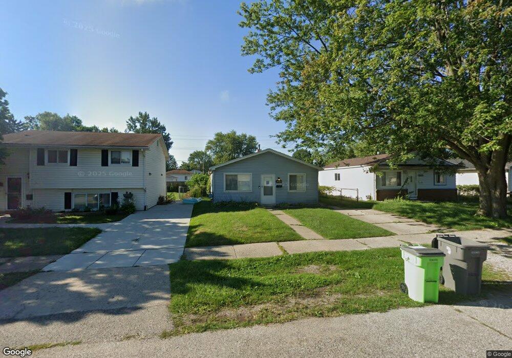
20480 Abrahm St Unit Bldg-Unit Clinton Township, MI 48035
Estimated Value: $137,000 - $155,000
--
Bed
1
Bath
960
Sq Ft
$154/Sq Ft
Est. Value
About This Home
This home is located at 20480 Abrahm St Unit Bldg-Unit, Clinton Township, MI 48035 and is currently estimated at $147,727, approximately $153 per square foot. 20480 Abrahm St Unit Bldg-Unit is a home located in Macomb County with nearby schools including Clintondale High School and St. Thecla Catholic School.
Ownership History
Date
Name
Owned For
Owner Type
Purchase Details
Closed on
Apr 24, 2018
Sold by
Polderman John W
Bought by
Schornak Christopher
Current Estimated Value
Purchase Details
Closed on
Sep 30, 2005
Sold by
Hutchinson Rosemarie
Bought by
Bank Of New York and Encore Credit Receivables Trust 2005-1
Purchase Details
Closed on
Dec 5, 2003
Sold by
Hutchinson Lonna
Bought by
Bank Of New York
Create a Home Valuation Report for This Property
The Home Valuation Report is an in-depth analysis detailing your home's value as well as a comparison with similar homes in the area
Home Values in the Area
Average Home Value in this Area
Purchase History
| Date | Buyer | Sale Price | Title Company |
|---|---|---|---|
| Schornak Christopher | $60,000 | First American Title | |
| Bank Of New York | $75,650 | -- | |
| Bank Of New York | $58,464 | -- |
Source: Public Records
Tax History Compared to Growth
Tax History
| Year | Tax Paid | Tax Assessment Tax Assessment Total Assessment is a certain percentage of the fair market value that is determined by local assessors to be the total taxable value of land and additions on the property. | Land | Improvement |
|---|---|---|---|---|
| 2025 | $2,476 | $60,400 | $0 | $0 |
| 2024 | $1,777 | $56,000 | $0 | $0 |
| 2023 | $1,689 | $51,100 | $0 | $0 |
| 2022 | $2,235 | $44,900 | $0 | $0 |
| 2021 | $2,171 | $41,700 | $0 | $0 |
| 2020 | $1,547 | $38,100 | $0 | $0 |
| 2019 | $2,056 | $31,900 | $0 | $0 |
| 2018 | $1,342 | $27,000 | $0 | $0 |
| 2017 | $1,326 | $24,000 | $5,500 | $18,500 |
| 2016 | $1,398 | $24,000 | $0 | $0 |
| 2015 | -- | $21,400 | $0 | $0 |
| 2014 | -- | $19,600 | $0 | $0 |
| 2011 | -- | $28,400 | $8,500 | $19,900 |
Source: Public Records
Map
Nearby Homes
- 20309 Abrahm St
- 20550 Vermander Ave
- 20410 Woodward St
- 20174 Abrahm St
- 20176 15 Mile Rd
- 20011 Abrahm St
- 0000 Garfield
- 35403 Seville St
- 20975 Catalano St
- 19793 Electra St
- 34029 Little MacK Ave
- 21132 Woodward St
- 34606 Beaconsfield St
- 21156 Woodward St
- 35501 Griswald St
- 20219 Finley St
- 34559 Chope Place
- 21228 Woodward St
- 21237 Woodward St
- 34161 Beaconsfield St
- 20480 Abrahm St
- 20474 Abrahm St
- 20490 Abrahm St
- 20498 Abrahm St
- 20466 Abrahm St
- 20481 Vermander Ave
- 20473 Vermander Ave
- 20489 Vermander Ave
- 20458 Abrahm St
- 20508 Abrahm St
- 20465 Vermander Ave
- 20497 Vermander Ave
- 20450 Abrahm St
- 20506 Abrahm St
- 20505 Vermander Ave
- 20457 Vermander Ave
- 20449 Vermander Ave
- 20515 Vermander Ave
- 20442 Abrahm St
- 20514 Abrahm St