20485 Quails Nest Way Leonardtown, MD 20650
Estimated Value: $2,752,692 - $3,625,000
6
Beds
8
Baths
12,461
Sq Ft
$248/Sq Ft
Est. Value
About This Home
This home is located at 20485 Quails Nest Way, Leonardtown, MD 20650 and is currently estimated at $3,091,231, approximately $248 per square foot. 20485 Quails Nest Way is a home located in St. Mary's County with nearby schools including Leonardtown Elementary School, Leonardtown Middle School, and Leonardtown High School.
Ownership History
Date
Name
Owned For
Owner Type
Purchase Details
Closed on
Jun 29, 2009
Sold by
Gansler Christine M Jacques S
Bought by
Crippen Dan L S
Current Estimated Value
Purchase Details
Closed on
Jun 28, 2002
Sold by
Dorsey Philip H
Bought by
Gansler Christine M Jacques S
Purchase Details
Closed on
Sep 30, 1993
Sold by
Medley Neck Ltd
Bought by
Dorsey Philip H
Home Financials for this Owner
Home Financials are based on the most recent Mortgage that was taken out on this home.
Original Mortgage
$450,000
Interest Rate
7%
Create a Home Valuation Report for This Property
The Home Valuation Report is an in-depth analysis detailing your home's value as well as a comparison with similar homes in the area
Home Values in the Area
Average Home Value in this Area
Purchase History
| Date | Buyer | Sale Price | Title Company |
|---|---|---|---|
| Crippen Dan L S | $2,300,000 | -- | |
| Gansler Christine M Jacques S | $1,500,000 | -- | |
| Dorsey Philip H | $188,000 | -- |
Source: Public Records
Mortgage History
| Date | Status | Borrower | Loan Amount |
|---|---|---|---|
| Previous Owner | Dorsey Philip H | $450,000 |
Source: Public Records
Tax History Compared to Growth
Tax History
| Year | Tax Paid | Tax Assessment Tax Assessment Total Assessment is a certain percentage of the fair market value that is determined by local assessors to be the total taxable value of land and additions on the property. | Land | Improvement |
|---|---|---|---|---|
| 2025 | $27,473 | $2,537,300 | $533,500 | $2,003,800 |
| 2024 | $24,237 | $2,279,967 | $0 | $0 |
| 2023 | $20,887 | $2,022,633 | $0 | $0 |
| 2022 | $18,267 | $1,765,300 | $533,500 | $1,231,800 |
| 2021 | $18,186 | $1,757,733 | $0 | $0 |
| 2020 | $18,105 | $1,750,167 | $0 | $0 |
| 2019 | $18,024 | $1,742,600 | $533,500 | $1,209,100 |
| 2018 | $18,021 | $1,742,600 | $533,500 | $1,209,100 |
| 2017 | $17,983 | $1,742,600 | $0 | $0 |
| 2016 | -- | $1,759,800 | $0 | $0 |
| 2015 | $17,143 | $1,736,400 | $0 | $0 |
| 2014 | $17,143 | $1,713,000 | $0 | $0 |
Source: Public Records
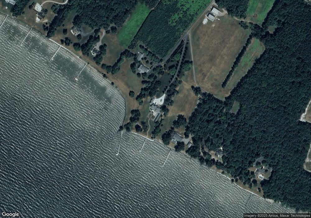
Map
Nearby Homes
- 40461 Old Breton Beach Rd
- 41130 Cryer Ct
- 20798 Waterside Dr
- 42043 Starlight Dr
- 21117 Catnip Ct
- 21745 Pinehurst Ct
- 0 Ferny Hills Ln
- 42520 Riverwinds Dr
- 21039 Woodmere Dr
- 40171 Little Woods Ln
- 21920 Newtowne Neck Rd
- 22362 Armstrong Dr
- 21515 Our Drive Way
- 22501 Bull Rd
- 24645 Springhill Ln
- 40533 Breton Knolls Ct
- 43107 Gum Spring Dr
- 22216 Hanover Dr
- 20959 Redgate Ln
- 22626 Chickadee Ln
- 20455 Quails Nest Way
- 20425 Quails Nest Way
- 40975 Mollies Way
- 20400 Quails Nest Way
- 20555 September Point Ln
- 40921 Mollies Way
- 40901 Mollies Way
- 20605 Sinclair Ln
- 20676 September Point Ln
- 20615 Sinclair Ln
- 20720 September Point Ln
- 20615 September Point Ln
- 20770 Sinclair Ln
- 40745 Breton Beach Rd
- 41191 Breton Beach Rd
- 40739 Breton Beach Rd
- 0 Breton Beach Rd Unit 1007191898
- 0 Breton Beach Rd Unit 1007055488
- 0 Breton Beach Rd Unit SM8757964
- 0 Breton Beach Rd Unit MDSM173362