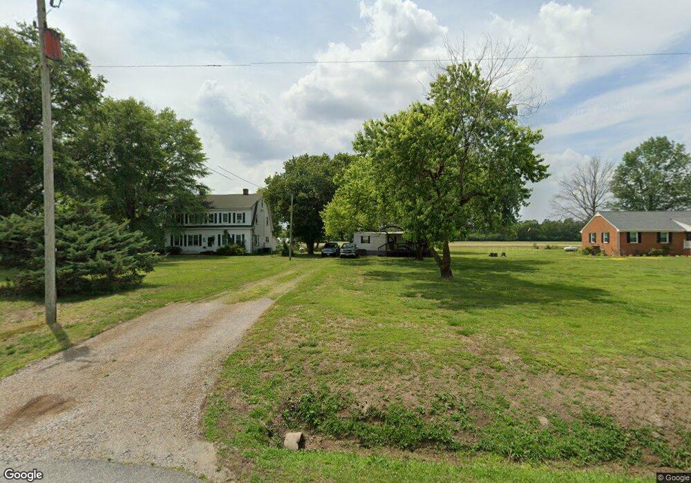
20486 Orbit Rd Windsor, VA 23487
Southern Isle of Wight NeighborhoodEstimated Value: $403,000 - $503,000
5
Beds
2
Baths
2,650
Sq Ft
$169/Sq Ft
Est. Value
About This Home
This home is located at 20486 Orbit Rd, Windsor, VA 23487 and is currently estimated at $448,081, approximately $169 per square foot. 20486 Orbit Rd is a home located in Isle of Wight County with nearby schools including Windsor Elementary School, Georgie D. Tyler Middle School, and Windsor High School.
Ownership History
Date
Name
Owned For
Owner Type
Purchase Details
Closed on
Aug 20, 2024
Sold by
White Steven A
Bought by
White Steven A and White Jennifer L
Current Estimated Value
Home Financials for this Owner
Home Financials are based on the most recent Mortgage that was taken out on this home.
Original Mortgage
$319,000
Outstanding Balance
$315,404
Interest Rate
6.89%
Mortgage Type
VA
Estimated Equity
$132,677
Purchase Details
Closed on
Sep 1, 2016
Purchase Details
Closed on
Aug 16, 2013
Purchase Details
Closed on
Jan 27, 2006
Sold by
Stiltner Lee R and Trs Lee R Lela S
Create a Home Valuation Report for This Property
The Home Valuation Report is an in-depth analysis detailing your home's value as well as a comparison with similar homes in the area
Home Values in the Area
Average Home Value in this Area
Purchase History
| Date | Buyer | Sale Price | Title Company |
|---|---|---|---|
| White Steven A | -- | First American Title | |
| -- | $275,000 | -- | |
| -- | $295,000 | -- | |
| -- | $499,000 | -- |
Source: Public Records
Mortgage History
| Date | Status | Borrower | Loan Amount |
|---|---|---|---|
| Open | White Steven A | $319,000 |
Source: Public Records
Tax History
| Year | Tax Paid | Tax Assessment Tax Assessment Total Assessment is a certain percentage of the fair market value that is determined by local assessors to be the total taxable value of land and additions on the property. | Land | Improvement |
|---|---|---|---|---|
| 2025 | $2,822 | $364,100 | $100,000 | $264,100 |
| 2024 | $2,658 | $364,100 | $100,000 | $264,100 |
| 2023 | $2,639 | $364,100 | $100,000 | $264,100 |
| 2022 | $2,392 | $275,100 | $100,000 | $175,100 |
| 2021 | $2,392 | $275,100 | $100,000 | $175,100 |
| 2020 | $2,392 | $275,100 | $100,000 | $175,100 |
| 2019 | $2,392 | $275,100 | $100,000 | $175,100 |
| 2018 | $2,330 | $267,800 | $100,000 | $167,800 |
| 2016 | $2,176 | $247,500 | $79,700 | $167,800 |
| 2015 | $2,100 | $247,500 | $79,700 | $167,800 |
| 2014 | $2,100 | $238,600 | $78,300 | $160,300 |
| 2013 | -- | $238,600 | $78,300 | $160,300 |
Source: Public Records
Map
Nearby Homes
- 12199 Ava Ln
- MM Windsor Station (Raleigh)
- MM Windsor Station (Drexel)
- MM Windsor Station (Davidson)
- MM Windsor Station (Asheboro)
- MM Windsor Station (Roanoke)
- MM Windsor Station (Caldwell)
- MM Windsor Station (McDowell)
- MM Windsor Station (Charleston)
- 25.5AC Woodland Dr
- 11480 Blue Ridge Trail
- 15023 Five Forks Rd
- 4371 Lake Prince Dr
- 17314 Jolly Cir
- 11572 Savannah St
- 12169 Ava Ln
- 24347 Lovers Ln
- 13009 Windsor Blvd
- 11492 Savannah St
- 15+AC Courthouse Hwy
- 20478 Orbit Rd
- 20478 Orbit Rd
- 20470 Orbit Rd
- 20426 Orbit Rd
- 20418 Orbit Rd
- 20485 Orbit Rd
- 20402 Orbit Rd
- 20384 Orbit Rd
- 14212 Iron Mine Springs Rd
- 21031 Orbit Rd
- 20367 Orbit Rd
- 20368 Orbit Rd
- 21068 Orbit Rd
- 20351 Orbit Rd
- 14177 Iron Mine Springs Rd
- 20332 Orbit Rd
- 21102 Orbit Rd
- 1.4 Ac Orbit Rd
- 21126 Orbit Rd
- 21134 Orbit Rd
Your Personal Tour Guide
Ask me questions while you tour the home.