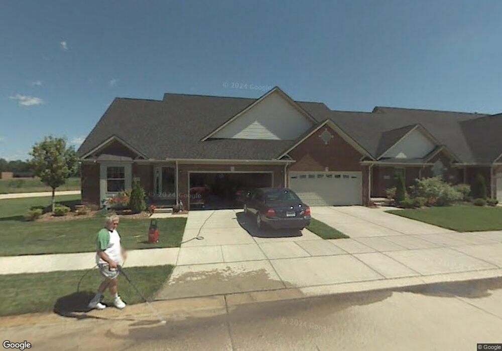
20487 Doves Pointe Dr Unit 73 Romulus, MI 48174
Estimated Value: $277,567 - $313,000
3
Beds
2
Baths
1,866
Sq Ft
$157/Sq Ft
Est. Value
About This Home
This home is located at 20487 Doves Pointe Dr Unit 73, Romulus, MI 48174 and is currently estimated at $293,642, approximately $157 per square foot. 20487 Doves Pointe Dr Unit 73 is a home located in Wayne County with nearby schools including Wegienka Elementary School, Brownstown Middle School, and Patrick Henry Middle School.
Ownership History
Date
Name
Owned For
Owner Type
Purchase Details
Closed on
Oct 31, 2005
Sold by
Doves Pointe Llc
Bought by
Evans Douglas
Current Estimated Value
Purchase Details
Closed on
Aug 29, 2005
Sold by
King Inkster Ii Llc
Bought by
Doves Pointe Llc
Home Financials for this Owner
Home Financials are based on the most recent Mortgage that was taken out on this home.
Original Mortgage
$116,440
Interest Rate
5.98%
Mortgage Type
Fannie Mae Freddie Mac
Create a Home Valuation Report for This Property
The Home Valuation Report is an in-depth analysis detailing your home's value as well as a comparison with similar homes in the area
Home Values in the Area
Average Home Value in this Area
Purchase History
| Date | Buyer | Sale Price | Title Company |
|---|---|---|---|
| Evans Douglas | $40,000 | Fidelity Natl Title Ins Co | |
| Doves Pointe Llc | -- | Fidelity Natl Title Ins Co |
Source: Public Records
Mortgage History
| Date | Status | Borrower | Loan Amount |
|---|---|---|---|
| Previous Owner | Doves Pointe Llc | $116,440 |
Source: Public Records
Tax History
| Year | Tax Paid | Tax Assessment Tax Assessment Total Assessment is a certain percentage of the fair market value that is determined by local assessors to be the total taxable value of land and additions on the property. | Land | Improvement |
|---|---|---|---|---|
| 2025 | $1,237 | $129,600 | $0 | $0 |
| 2024 | $1,203 | $102,500 | $0 | $0 |
| 2023 | $1,147 | $88,500 | $0 | $0 |
| 2022 | $2,216 | $82,600 | $0 | $0 |
| 2021 | $2,056 | $79,900 | $0 | $0 |
| 2020 | $2,006 | $78,600 | $0 | $0 |
| 2019 | $1,986 | $76,800 | $0 | $0 |
| 2018 | $1,003 | $71,000 | $0 | $0 |
| 2017 | $1,909 | $112,000 | $0 | $0 |
| 2016 | $1,923 | $69,100 | $0 | $0 |
| 2015 | $3,830 | $68,200 | $0 | $0 |
| 2013 | $3,710 | $39,000 | $0 | $0 |
| 2012 | -- | $50,700 | $8,500 | $42,200 |
Source: Public Records
Map
Nearby Homes
- 20789 Hummingbird Dr
- 27557 Bredow Ave
- 19497 Inkster Rd
- 28056 Charlemagne St Unit 60
- 21932 Letour St
- 22014 Petite St Unit 213
- 22024 Castelle St Unit 156
- 22024 Verdun St Unit 298
- 22061 Cheville St Unit 366
- 22053 Verdun St Unit 315
- 22049 Duvalle St Unit 269
- 22059 Duvalle St Unit 274
- 25679 Sibley Rd
- VAC Sibley Rd
- 22701 Beech Daly Rd
- 00 West Rd
- 17901 Inkster Rd
- 29463 Sibley Rd
- 17361 Spartan Dr
- 17425 Spartan Dr
- 20499 Doves Pointe Dr Unit 74
- 20406 Doves Pointe Dr Unit 36
- 20440 Doves Pointe Dr Unit 34
- 20409 Doves Pointe Dr Unit 71
- 20486 Doves Pointe Dr
- 20498 Doves Pointe Dr
- 20409 Doves Pointe Dr Unit 71 Bld 18
- 20409 Doves Pointe Dr
- 20464 Doves Pointe Dr Unit 32
- 20452 Doves Pointe Dr Unit 33
- 20452 Doves Pointe Dr Unit 44
- 0 Doves Pointe Dr
- 20428 Doves Pointe Dr Unit 35
- 20373 Doves Pointe Dr Unit 68
- 20510 Doves Pointe Dr
- 20370 Doves Pointe Dr Unit 39
- 20522 Doves Pointe Dr
- 20597 Doves Pointe Dr Unit 78
- 20585 Doves Pointe Dr Unit 77
- 20511 Doves Pointe Dr Unit 75
Your Personal Tour Guide
Ask me questions while you tour the home.