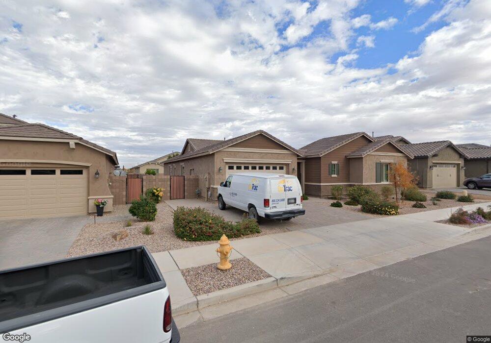
20488 E Mockingbird Dr Queen Creek, AZ 85142
Estimated Value: $659,850 - $752,000
--
Bed
--
Bath
2,725
Sq Ft
$263/Sq Ft
Est. Value
About This Home
This home is located at 20488 E Mockingbird Dr, Queen Creek, AZ 85142 and is currently estimated at $717,713, approximately $263 per square foot. 20488 E Mockingbird Dr is a home with nearby schools including Jack Barnes Elementary School, Queen Creek Junior High School, and Benjamin Franklin Charter School - Crismon.
Ownership History
Date
Name
Owned For
Owner Type
Purchase Details
Closed on
May 18, 2016
Sold by
Fulton Home Sales Corporation
Bought by
Neal Mark and Neal Judith
Current Estimated Value
Home Financials for this Owner
Home Financials are based on the most recent Mortgage that was taken out on this home.
Original Mortgage
$280,282
Outstanding Balance
$223,124
Interest Rate
3.66%
Mortgage Type
New Conventional
Estimated Equity
$494,589
Create a Home Valuation Report for This Property
The Home Valuation Report is an in-depth analysis detailing your home's value as well as a comparison with similar homes in the area
Home Values in the Area
Average Home Value in this Area
Purchase History
| Date | Buyer | Sale Price | Title Company |
|---|---|---|---|
| Neal Mark | $350,352 | First American Title Ins Co | |
| Fulton Home Sales Corporation | $81,632 | First American Title Ins Co |
Source: Public Records
Mortgage History
| Date | Status | Borrower | Loan Amount |
|---|---|---|---|
| Open | Neal Mark | $280,282 |
Source: Public Records
Tax History Compared to Growth
Tax History
| Year | Tax Paid | Tax Assessment Tax Assessment Total Assessment is a certain percentage of the fair market value that is determined by local assessors to be the total taxable value of land and additions on the property. | Land | Improvement |
|---|---|---|---|---|
| 2025 | $2,858 | $31,867 | -- | -- |
| 2024 | $3,114 | $30,350 | -- | -- |
| 2023 | $3,114 | $50,410 | $10,080 | $40,330 |
| 2022 | $2,983 | $39,230 | $7,840 | $31,390 |
| 2021 | $3,073 | $37,220 | $7,440 | $29,780 |
| 2020 | $2,968 | $35,530 | $7,100 | $28,430 |
| 2019 | $2,939 | $33,320 | $6,660 | $26,660 |
| 2018 | $2,869 | $30,860 | $6,170 | $24,690 |
| 2017 | $2,762 | $28,380 | $5,670 | $22,710 |
| 2016 | $916 | $8,775 | $8,775 | $0 |
Source: Public Records
Map
Nearby Homes
- 20520 E Mockingbird Dr
- 20575 E Mockingbird Dr
- 20525 E Reins Rd
- 20702 E Mockingbird Dr
- 20322 E Mockingbird Dr
- 20320 E Canary Way
- 20729 E Canary Way
- 20514 E Mayberry Rd
- 20471 E Carriage Way
- 20762 E Canary Way
- 20176 E Nighthawk Way
- 20131 E Robin Rd
- 20911 E Mockingbird Dr
- 20931 E Cattle Dr
- 20903 E Sparrow Dr
- 20948 E Arrowhead Trail
- 19820 S Mesquite Dr
- Plan 2586 at The Enclaves at Sonrisa
- Plan 2667 Modeled at The Enclaves at Sonrisa
- Plan 2849 at The Enclaves at Sonrisa
- 20508 E Mockingbird Dr
- 20476 E Mockingbird Dr
- 20487 E Raven Dr
- 20503 E Raven Dr
- 20475 E Raven Dr
- 20505 E Mockingbird Dr
- 20471 E Mockingbird Dr
- 20519 E Raven Dr
- 20532 E Mockingbird Dr
- 20462 E Mockingbird Dr
- 20517 E Mockingbird Dr
- 20469 E Mockingbird Dr
- 20531 E Raven Dr
- 20455 E Raven Dr
- 20529 E Mockingbird Dr
- 20544 E Mockingbird Dr
- 20450 E Mockingbird Dr
- 20457 E Mockingbird Dr
- 20543 E Raven Dr
- 20490 E Raven Dr