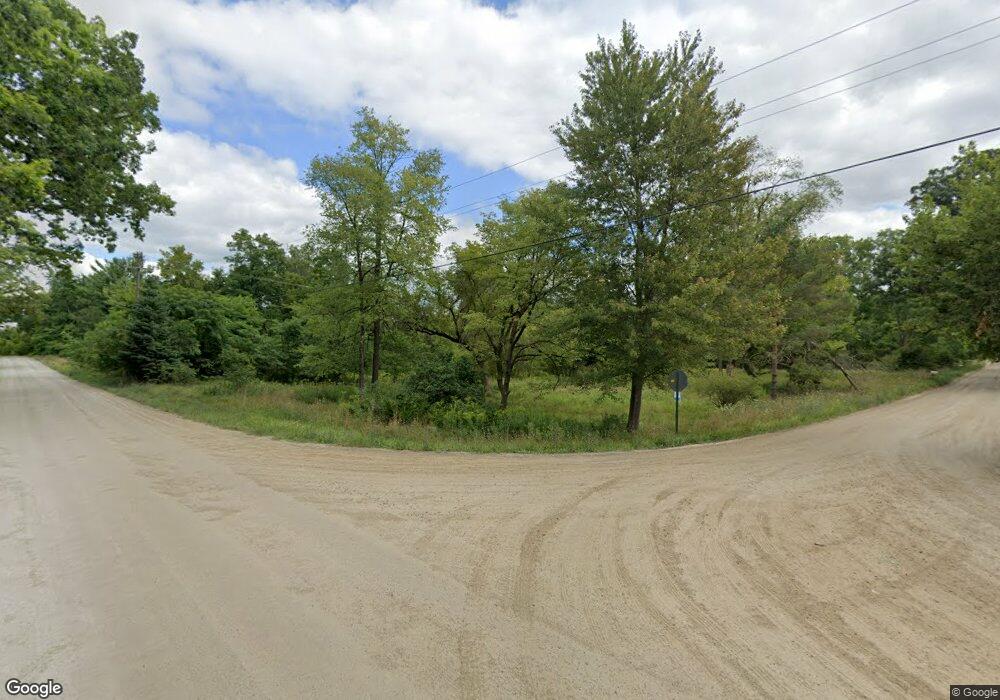
2049 Curdy Rd Howell, MI 48855
Estimated Value: $52,000 - $277,000
1
Bed
1
Bath
480
Sq Ft
$240/Sq Ft
Est. Value
About This Home
This home is located at 2049 Curdy Rd, Howell, MI 48855 and is currently estimated at $115,197, approximately $239 per square foot. 2049 Curdy Rd is a home located in Livingston County with nearby schools including Voyager Elementary School, Highlander Way Middle School, and Howell High School.
Ownership History
Date
Name
Owned For
Owner Type
Purchase Details
Closed on
May 20, 2004
Sold by
Sartwell Richard and Sartwell Thelma
Bought by
Smith Carol
Current Estimated Value
Create a Home Valuation Report for This Property
The Home Valuation Report is an in-depth analysis detailing your home's value as well as a comparison with similar homes in the area
Home Values in the Area
Average Home Value in this Area
Purchase History
| Date | Buyer | Sale Price | Title Company |
|---|---|---|---|
| Smith Carol | $5,000 | Cornerstone Title Agency |
Source: Public Records
Tax History Compared to Growth
Tax History
| Year | Tax Paid | Tax Assessment Tax Assessment Total Assessment is a certain percentage of the fair market value that is determined by local assessors to be the total taxable value of land and additions on the property. | Land | Improvement |
|---|---|---|---|---|
| 2025 | $762 | $30,800 | $0 | $0 |
| 2024 | $739 | $28,700 | $0 | $0 |
| 2023 | $705 | $26,500 | $0 | $0 |
| 2022 | $148 | $24,300 | $0 | $0 |
| 2021 | $799 | $26,300 | $0 | $0 |
| 2020 | $800 | $24,300 | $0 | $0 |
| 2019 | $787 | $22,300 | $0 | $0 |
| 2018 | $774 | $20,800 | $0 | $0 |
| 2017 | $761 | $20,300 | $0 | $0 |
| 2016 | $755 | $19,600 | $0 | $0 |
| 2014 | $702 | $17,800 | $0 | $0 |
| 2012 | $702 | $29,400 | $0 | $0 |
Source: Public Records
Map
Nearby Homes
- 5550 Fisher Rd
- vac E Marr Rd
- 3290 Fisher Rd
- 3680 Amber Oaks Dr
- 3079 Ivywood Cir
- 3087 Ivy Wood Cir
- 3061 Ivywood Cir
- 3299 Hill Hollow Ln
- 0 Marwood Dr
- 2932 Bogue Creek Dr
- 4842 Preston Rd
- 2500 Fisher Rd
- 5407 Oak Grove Rd
- 2424 Fisher Rd
- 0 Eager Unit 293099
- 2533 Armond Rd
- 2185 Armond Rd
- 2511 Kerria Dr Unit 42
- 386 Dorchester Dr
- 2643 Kerria Dr Unit 65
- 2050 Curdy Rd
- 2086 Curdy Rd
- 3993 Fisher Rd
- 4027 Fisher Rd
- 2151 Curdy Rd
- 0 Curdy Rd Unit 212089714
- 0 Curdy Rd
- 0 Curdy Rd Unit R219013195
- 0 Curdy Rd Unit R2200004989
- 0 Curdy Rd Unit R2200024448
- 0 Curdy Rd Unit R2200027821
- 3980 Fisher Rd
- 3995 Fisher Rd
- 4255 Fisher Rd
- 2150 Curdy Rd
- 3962 Fisher Rd
- 2337 Curdy Rd
- 4305 Fisher Rd
- 3850 Fisher Rd
- 2353 Curdy Rd
