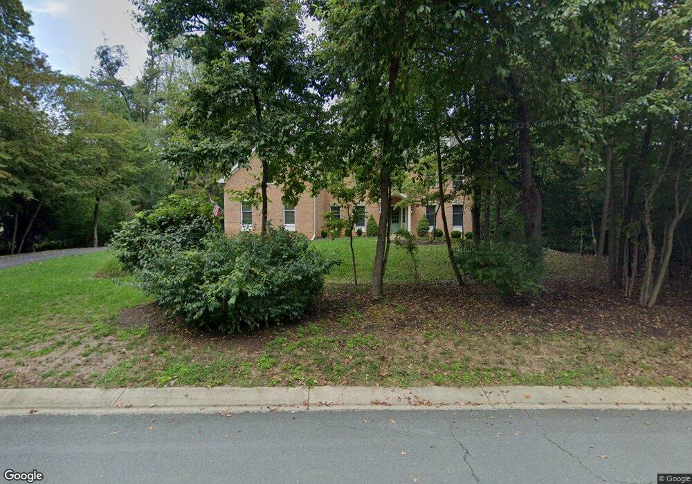
2049 Haverford Dr Crownsville, MD 21032
Estimated Value: $1,098,819 - $1,422,000
--
Bed
4
Baths
4,013
Sq Ft
$309/Sq Ft
Est. Value
About This Home
This home is located at 2049 Haverford Dr, Crownsville, MD 21032 and is currently estimated at $1,239,705, approximately $308 per square foot. 2049 Haverford Dr is a home located in Anne Arundel County with nearby schools including Millersville Elementary School and Old Mill High School.
Ownership History
Date
Name
Owned For
Owner Type
Purchase Details
Closed on
Jul 8, 2024
Sold by
Jaseph James W and Jaseph Leslie A
Bought by
2049 Haverford Trust and Jaseph
Current Estimated Value
Purchase Details
Closed on
Jan 10, 2017
Bought by
Jaseph James
Home Financials for this Owner
Home Financials are based on the most recent Mortgage that was taken out on this home.
Original Mortgage
$763,100
Interest Rate
4.2%
Purchase Details
Closed on
Feb 25, 2013
Sold by
Jaseph James W and Jaseph Leslie A
Bought by
Jaseph James W and Jaseph Leslie A
Purchase Details
Closed on
Mar 27, 1997
Sold by
The Preserve At Annap Ltd Ptnshp
Bought by
Jaseph James W and Jaseph Leslie A
Create a Home Valuation Report for This Property
The Home Valuation Report is an in-depth analysis detailing your home's value as well as a comparison with similar homes in the area
Home Values in the Area
Average Home Value in this Area
Purchase History
| Date | Buyer | Sale Price | Title Company |
|---|---|---|---|
| 2049 Haverford Trust | -- | None Listed On Document | |
| Jaseph James | -- | -- | |
| Jaseph James W | -- | None Available | |
| Jaseph James W | $413,493 | -- |
Source: Public Records
Mortgage History
| Date | Status | Borrower | Loan Amount |
|---|---|---|---|
| Previous Owner | Jaseph James | $763,100 | |
| Previous Owner | Jaseph James | -- | |
| Closed | Jaseph James W | -- |
Source: Public Records
Tax History Compared to Growth
Tax History
| Year | Tax Paid | Tax Assessment Tax Assessment Total Assessment is a certain percentage of the fair market value that is determined by local assessors to be the total taxable value of land and additions on the property. | Land | Improvement |
|---|---|---|---|---|
| 2025 | $7,228 | $898,967 | -- | -- |
| 2024 | $7,228 | $820,333 | $0 | $0 |
| 2023 | $6,356 | $741,700 | $160,000 | $581,700 |
| 2022 | $6,563 | $737,267 | $0 | $0 |
| 2021 | $12,913 | $732,833 | $0 | $0 |
| 2020 | $6,315 | $728,400 | $180,000 | $548,400 |
| 2019 | $6,223 | $728,400 | $180,000 | $548,400 |
| 2018 | $7,386 | $728,400 | $180,000 | $548,400 |
| 2017 | $5,924 | $763,100 | $0 | $0 |
| 2016 | -- | $757,267 | $0 | $0 |
| 2015 | -- | $751,433 | $0 | $0 |
| 2014 | -- | $745,600 | $0 | $0 |
Source: Public Records
Map
Nearby Homes
- 1500 Cheltenham Ct E
- 2545 Lavall Ct
- 1603 Huntcliff Way
- 2415 Pebblebrook Ct
- 1306 Lavall Dr
- 621 Wood Lot Trail Rd
- 2002 Huntwood Dr
- 934 Chesterfield Rd
- 2033 Huntwood Dr
- 2612 Quiet Water Cove Unit 24
- 2034 Huntwood Dr
- 932 Riversedge Cir
- 1907 Mackiebeth Ct
- 1007 Boom Ct
- 1909 Marconi Cir
- 2577 Rutland Rd
- 2828 Berth Ct
- 1012 Mastline Dr
- 2057 Liza Way
- 1909 Eleanor Ct
- 2047 Haverford Dr
- 2051 Haverford Dr
- 2053 Haverford Dr
- 1509 Brewster Gate Rd
- 2046 Haverford Dr
- 1514 Cheltenham Ct W
- 1507 Brewster Gate Rd
- 1510 Cheltenham Ct E
- 1516 Cheltenham Ct W
- 1508 Cheltenham Ct E
- 1516 Brewster Gate Rd
- 1514 Brewster Gate Rd
- 1505 Brewster Gate Rd
- 1512 Brewster Gate Rd
- 1506 Cheltenham Ct E
- 1510 Brewster Gate Rd
- 1504 Cheltenham Ct E
- 1513 Cheltenham Ct W
- 1508 Brewster Gate Rd
- 1504 Brewster Gate Rd