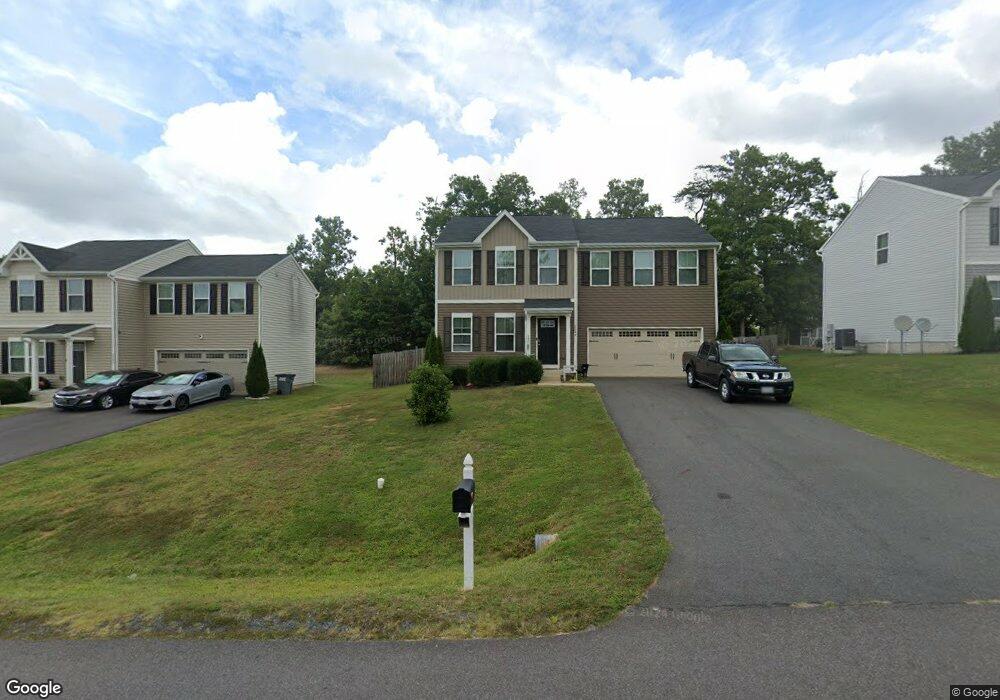
2049 Mourning Dove Dr Locust Grove, VA 22508
Estimated Value: $419,000 - $459,000
4
Beds
3
Baths
1,360
Sq Ft
$318/Sq Ft
Est. Value
About This Home
This home is located at 2049 Mourning Dove Dr, Locust Grove, VA 22508 and is currently estimated at $432,327, approximately $317 per square foot. 2049 Mourning Dove Dr is a home located in Orange County with nearby schools including Locust Grove Primary School, Locust Grove Elementary School, and Locust Grove Middle School.
Ownership History
Date
Name
Owned For
Owner Type
Purchase Details
Closed on
Aug 11, 2020
Sold by
Black Jason
Bought by
Sherman Michael and Romans Ariel Marie
Current Estimated Value
Home Financials for this Owner
Home Financials are based on the most recent Mortgage that was taken out on this home.
Original Mortgage
$277,777
Outstanding Balance
$245,296
Interest Rate
3%
Mortgage Type
Construction
Estimated Equity
$187,031
Purchase Details
Closed on
Apr 21, 2018
Sold by
Barnes Black Jason and Barnes Black Mia Ashley
Bought by
Black Jason
Home Financials for this Owner
Home Financials are based on the most recent Mortgage that was taken out on this home.
Original Mortgage
$270,271
Interest Rate
4.22%
Mortgage Type
New Conventional
Purchase Details
Closed on
Mar 8, 2018
Sold by
Nvr Inc
Bought by
Barnes Black Jason and Barnes Black Mia Ashley
Home Financials for this Owner
Home Financials are based on the most recent Mortgage that was taken out on this home.
Original Mortgage
$270,271
Interest Rate
4.22%
Mortgage Type
New Conventional
Create a Home Valuation Report for This Property
The Home Valuation Report is an in-depth analysis detailing your home's value as well as a comparison with similar homes in the area
Home Values in the Area
Average Home Value in this Area
Purchase History
| Date | Buyer | Sale Price | Title Company |
|---|---|---|---|
| Sherman Michael | $286,000 | Westcor Land Title | |
| Black Jason | -- | None Available | |
| Barnes Black Jason | $278,630 | Title Solutions Inc |
Source: Public Records
Mortgage History
| Date | Status | Borrower | Loan Amount |
|---|---|---|---|
| Open | Sherman Michael | $277,777 | |
| Previous Owner | Barnes Black Jason | $270,271 |
Source: Public Records
Tax History Compared to Growth
Tax History
| Year | Tax Paid | Tax Assessment Tax Assessment Total Assessment is a certain percentage of the fair market value that is determined by local assessors to be the total taxable value of land and additions on the property. | Land | Improvement |
|---|---|---|---|---|
| 2025 | $2,147 | $284,800 | $60,000 | $224,800 |
| 2024 | $2,147 | $284,800 | $60,000 | $224,800 |
| 2023 | $2,147 | $284,800 | $60,000 | $224,800 |
| 2022 | $2,147 | $284,800 | $60,000 | $224,800 |
| 2021 | $2,061 | $286,300 | $60,000 | $226,300 |
| 2020 | $2,061 | $286,300 | $60,000 | $226,300 |
| 2019 | $2,246 | $279,400 | $55,000 | $224,400 |
| 2018 | $362 | $279,400 | $55,000 | $224,400 |
| 2017 | $362 | $45,000 | $45,000 | $0 |
| 2016 | $362 | $45,000 | $45,000 | $0 |
| 2015 | $324 | $45,000 | $45,000 | $0 |
| 2014 | $324 | $45,000 | $45,000 | $0 |
Source: Public Records
Map
Nearby Homes
- 2036 Mourning Dove Dr
- 2082 Mallard Ln
- 2188 Mallard Ln
- 35049 Mansours Dr
- 2219 Wildflower Way
- 35460 Quail Meadow Ln
- 35342 Hawks Nest Ct
- 35291 Gosling Ln
- 35326 Gosling Ln
- 1456 Casual Water Way
- 35121 Wilderness Shores Way
- 35305 Wilderness Shores Way
- 36101 Wilderness Shores Way
- 36109 Wilderness Shores Way
- 36113 Wilderness Shores Way
- 36117 Wilderness Shores Way
- 36121 Wilderness Shores Way
- 36102 Wilderness Shores Way
- 36106 Wilderness Shores Way
- 36110 Wilderness Shores Way
- 2043 Mourning Dove Dr
- 2055 Mourning Dove Dr
- 2065 Mourning Dove Dr
- 2048 Mourning Dove Dr
- 2058 Mourning Dove Dr
- 2035 Mourning Dove Dr
- 2056 Mourning Dove Dr
- 35316 River Bend Dr
- 35328 River Bend Dr
- 2064 Mourning Dove Dr
- 35306 River Bend Dr
- 2071 Mourning Dove Dr
- 35334 River Bend Dr
- 2027 Mourning Dove Dr
- 2070 Mourning Dove Dr
- 2079 Mourning Dove Dr
- 35344 River Bend Dr
- 2028 Mourning Dove Dr
- 2077 Mallard Ln
- 35301 River Bend Dr