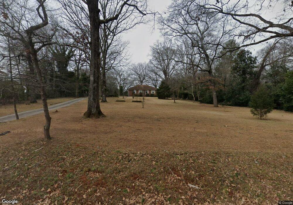
2049 Windy Hill Rd Decatur, GA 30032
Estimated Value: $227,000 - $346,651
3
Beds
1
Bath
1,334
Sq Ft
$208/Sq Ft
Est. Value
About This Home
This home is located at 2049 Windy Hill Rd, Decatur, GA 30032 and is currently estimated at $277,913, approximately $208 per square foot. 2049 Windy Hill Rd is a home located in DeKalb County with nearby schools including McNair Middle School, McNair High School, and Charles Drew Charter School.
Ownership History
Date
Name
Owned For
Owner Type
Purchase Details
Closed on
Apr 28, 2020
Sold by
Nix Keenan
Bought by
Giardino Properties Llc
Current Estimated Value
Purchase Details
Closed on
Feb 14, 2020
Sold by
Rosser Daniel
Bought by
Nix Keenan and Nix Danielle
Purchase Details
Closed on
May 17, 2017
Sold by
Rosser Daniel C
Bought by
Daniel Rosser and Trustees Of The Rosser Family
Create a Home Valuation Report for This Property
The Home Valuation Report is an in-depth analysis detailing your home's value as well as a comparison with similar homes in the area
Home Values in the Area
Average Home Value in this Area
Purchase History
| Date | Buyer | Sale Price | Title Company |
|---|---|---|---|
| Giardino Properties Llc | -- | -- | |
| Nix Keenan | -- | -- | |
| Daniel Rosser | -- | -- |
Source: Public Records
Tax History Compared to Growth
Tax History
| Year | Tax Paid | Tax Assessment Tax Assessment Total Assessment is a certain percentage of the fair market value that is determined by local assessors to be the total taxable value of land and additions on the property. | Land | Improvement |
|---|---|---|---|---|
| 2025 | $5,509 | $114,000 | $77,360 | $36,640 |
| 2024 | $5,325 | $109,800 | $51,960 | $57,840 |
| 2023 | $5,325 | $115,360 | $53,240 | $62,120 |
| 2022 | $3,624 | $73,040 | $11,480 | $61,560 |
| 2021 | $3,278 | $65,160 | $7,640 | $57,520 |
| 2020 | $1,246 | $82,080 | $63,680 | $18,400 |
| 2019 | $1,186 | $79,400 | $43,160 | $36,240 |
| 2018 | $796 | $49,200 | $43,160 | $6,040 |
| 2017 | $689 | $31,640 | $23,960 | $7,680 |
| 2016 | $874 | $53,400 | $23,960 | $29,440 |
| 2014 | $754 | $41,720 | $23,960 | $17,760 |
Source: Public Records
Map
Nearby Homes
- 2076 Windy Hill Rd
- 2505 Mellville Ave
- 2671 Tilson Rd
- 2653 Tilson Rd
- 2425 Mellville Ave
- 2453 Mellville Ave
- 2623 Northview Ave
- 2616 Northview Ave
- 2628 Northview Ave
- 2554 Brentwood Rd
- 2564 Brentwood Rd
- 1902 Canterbury St
- 2665 Northview Ave
- 2490 Brentwood Rd
- 2196 Knoll Dr
- 2203 Knoll Dr
- 2390 Mellville Ave
- 1937 Don Juan Ln
- 1968 Don Juan Ln
- 2728 Mcafee Rd
- 2061 Windy Hill Rd
- 2061 Windy Hill Rd
- 2533 Mcafee Rd
- 2535 Mcafee Rd
- 2067 Windy Hill Rd
- 2067 Windy Hill Rd Unit 1
- 2543 Mcafee Rd
- 0 Windy Hill Rd Unit 8399064
- 2551 Mcafee Rd Unit 1
- 2551 Mcafee Rd
- 2052 Windy Hill Rd
- 2077 Windy Hill Rd
- 2044 Windy Hill Rd
- 2060 Windy Hill Rd
- 2036 Windy Hill Rd
- 2523 Mcafee Rd
- 2068 Windy Hill Rd
- 2083 Windy Hill Rd
- 2688 Tilson Rd
- 2519 Mcafee Rd