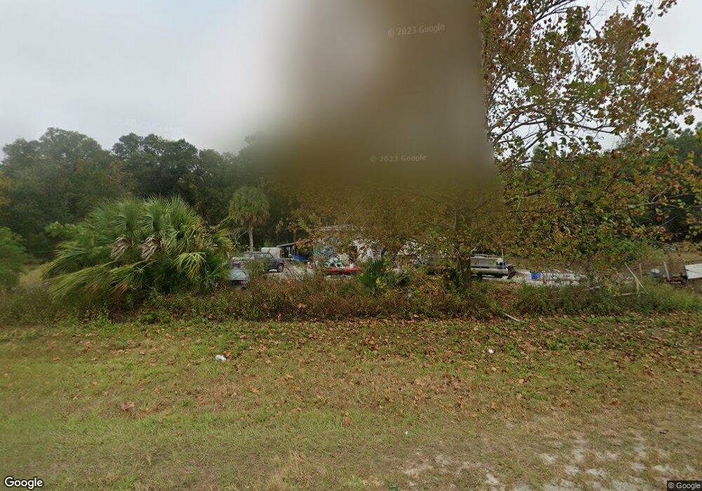
20492 S Us Highway 441 High Springs, FL 32643
Estimated Value: $138,000 - $345,000
3
Beds
1
Bath
2,081
Sq Ft
$108/Sq Ft
Est. Value
About This Home
This home is located at 20492 S Us Highway 441, High Springs, FL 32643 and is currently estimated at $224,467, approximately $107 per square foot. 20492 S Us Highway 441 is a home located in Columbia County with nearby schools including Fort White Elementary School, Fort White High School, and First Christian Academy.
Ownership History
Date
Name
Owned For
Owner Type
Purchase Details
Closed on
Jun 20, 2019
Sold by
Williamson Rebecca I
Bought by
Reeder Mark and Kuntz Kayla
Current Estimated Value
Purchase Details
Closed on
Sep 28, 2007
Sold by
Fivenson Peggy A
Bought by
Fivenson Peggy A and Williamson Rebecca I
Purchase Details
Closed on
Feb 28, 2006
Sold by
Lehman Rose M and Miller Cindy
Bought by
Summerson Carl C and Summerson Patricia S
Home Financials for this Owner
Home Financials are based on the most recent Mortgage that was taken out on this home.
Original Mortgage
$72,000
Interest Rate
6.04%
Mortgage Type
Fannie Mae Freddie Mac
Purchase Details
Closed on
Nov 3, 2003
Sold by
Guynn Janie
Bought by
Maddox Inez and Fivenson Peggy
Create a Home Valuation Report for This Property
The Home Valuation Report is an in-depth analysis detailing your home's value as well as a comparison with similar homes in the area
Home Values in the Area
Average Home Value in this Area
Purchase History
| Date | Buyer | Sale Price | Title Company |
|---|---|---|---|
| Reeder Mark | -- | None Available | |
| Fivenson Peggy A | -- | None Available | |
| Summerson Carl C | $80,000 | None Available | |
| Maddox Inez | -- | -- |
Source: Public Records
Mortgage History
| Date | Status | Borrower | Loan Amount |
|---|---|---|---|
| Previous Owner | Summerson Carl C | $72,000 |
Source: Public Records
Tax History Compared to Growth
Tax History
| Year | Tax Paid | Tax Assessment Tax Assessment Total Assessment is a certain percentage of the fair market value that is determined by local assessors to be the total taxable value of land and additions on the property. | Land | Improvement |
|---|---|---|---|---|
| 2024 | $1,989 | $122,406 | $18,980 | $103,426 |
| 2023 | $1,989 | $113,975 | $18,980 | $94,995 |
| 2022 | $1,837 | $101,789 | $18,980 | $82,809 |
| 2021 | $1,681 | $89,749 | $19,126 | $70,623 |
| 2020 | $1,432 | $84,107 | $19,108 | $64,999 |
| 2019 | $915 | $68,564 | $0 | $0 |
| 2018 | $920 | $67,286 | $0 | $0 |
| 2017 | $887 | $62,436 | $17,370 | $45,066 |
| 2016 | $849 | $62,005 | $17,370 | $44,635 |
| 2015 | $858 | $59,811 | $0 | $0 |
| 2014 | $856 | $59,336 | $0 | $0 |
Source: Public Records
Map
Nearby Homes
- 20490 U S 441
- 173 SW Grouper Way
- 328 S West Gulliver Ct
- 1237 SW Old Lake City Terrace
- 921 SE Adams St
- 157 SE Downing Dr
- TBD SW Grey Way
- 960 SW Bethlehem Ave
- W County Road 778
- 0 SW Bethlehem Ave Unit MFRTB8396152
- 267 SE Seawolf Way
- 0 County Road 778
- 000 SW Hermitage Glen
- 2672 SW County Road 778
- 531 SW Elim Church Rd
- 000 Old Bellamy Rd
- 427 SW Amazon Glen
- 23109 NW 227th Dr
- 539 SW Herschel Ct
- 223 SW Singleton Terrace
- 2231 SW Old Lake City Terrace
- 20393 S Us Highway 441
- 20393 S Us Highway 441
- 188 Old Bellamy Rd
- 0 SW Barney St
- 20316 U S 441
- 20316 S Us Highway 441
- 2257 SW Old Lake City Terrace
- 194 SE Sunset Glen
- 161 SE Robin Hood Place
- 205 SE Robin Hood Place
- 20310 Us-441 S
- 20780 U S 441
- 20780 S Us Highway 441
- 347 SE Sunset Glen
- 263 SE Robin Hood Place
- 314 SE Old Bellamy Rd
- 20816 S Us Highway 441
- 20816 S Us Highway 441
- 20818 S Us Highway 441