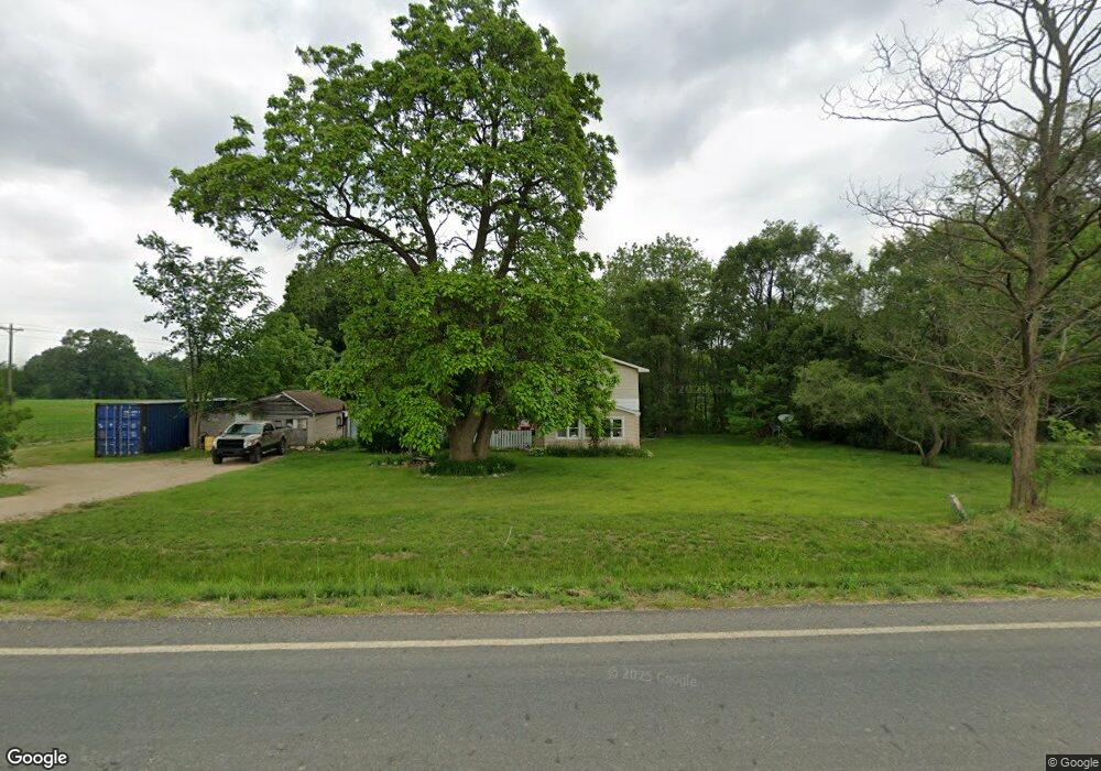
205 133rd Ave Wayland, MI 49348
Estimated Value: $256,747 - $877,000
--
Bed
1
Bath
1,560
Sq Ft
$295/Sq Ft
Est. Value
About This Home
This home is located at 205 133rd Ave, Wayland, MI 49348 and is currently estimated at $459,687, approximately $294 per square foot. 205 133rd Ave is a home located in Allegan County with nearby schools including Wayland High School.
Ownership History
Date
Name
Owned For
Owner Type
Purchase Details
Closed on
Dec 9, 2002
Sold by
Kuhtic Phillip Steve and Kuhtic Janice F
Bought by
Kuhtic Micah J and Kuhtic Marcie
Current Estimated Value
Home Financials for this Owner
Home Financials are based on the most recent Mortgage that was taken out on this home.
Original Mortgage
$60,000
Interest Rate
8.5%
Create a Home Valuation Report for This Property
The Home Valuation Report is an in-depth analysis detailing your home's value as well as a comparison with similar homes in the area
Home Values in the Area
Average Home Value in this Area
Purchase History
| Date | Buyer | Sale Price | Title Company |
|---|---|---|---|
| Kuhtic Micah J | -- | Chicago Title Of Michigan In |
Source: Public Records
Mortgage History
| Date | Status | Borrower | Loan Amount |
|---|---|---|---|
| Closed | Kuhtic Micah J | $60,000 |
Source: Public Records
Tax History Compared to Growth
Tax History
| Year | Tax Paid | Tax Assessment Tax Assessment Total Assessment is a certain percentage of the fair market value that is determined by local assessors to be the total taxable value of land and additions on the property. | Land | Improvement |
|---|---|---|---|---|
| 2025 | $1,291 | $105,400 | $23,800 | $81,600 |
| 2024 | $1,113 | $105,200 | $22,000 | $83,200 |
| 2023 | $1,143 | $76,900 | $19,800 | $57,100 |
| 2022 | $1,113 | $64,100 | $11,000 | $53,100 |
| 2021 | $1,057 | $59,500 | $11,000 | $48,500 |
| 2020 | $1,029 | $62,700 | $10,100 | $52,600 |
| 2019 | $1,001 | $50,100 | $10,100 | $40,000 |
| 2018 | $981 | $44,400 | $11,400 | $33,000 |
| 2017 | $0 | $44,700 | $11,400 | $33,300 |
| 2016 | $0 | $41,800 | $11,000 | $30,800 |
| 2015 | -- | $41,800 | $11,000 | $30,800 |
| 2014 | -- | $35,800 | $12,800 | $23,000 |
| 2013 | -- | $32,300 | $12,800 | $19,500 |
Source: Public Records
Map
Nearby Homes
- 12720 S Grey Ct
- 12857 Michael Dr Unit 49
- 1164 E Bernie Ct
- 1391 Shadowridge Dr
- 516 131st Ave
- 12031 Sandstone Dr
- 11753 Rosemary Ln
- 11751 Rosemary Ln
- 12169 Pine Meadows Dr
- 3214 7th St
- 1736 Parker Dr
- 590 129th Ave
- 619 137th Ave
- 2724 Pasture Ln
- 2615 Harwood Lake Rd
- 1980 Parker Dr
- 12712 Sunrise Ct
- 11401 Davis Rd
- 3296 Stonehill Ct
- 35 Cannonball Ln