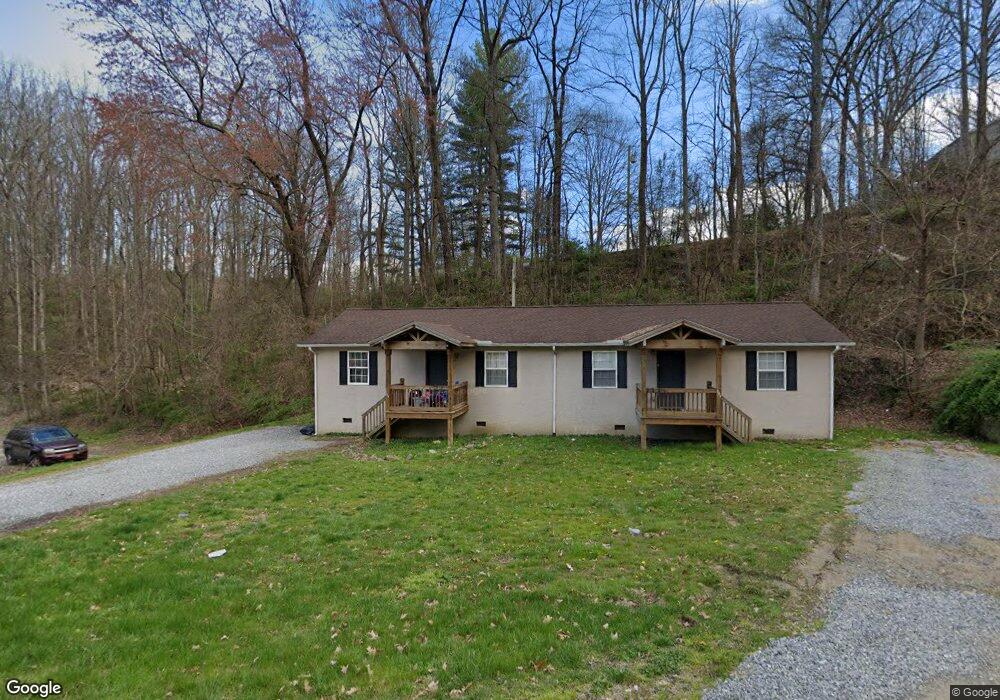
205 & 209 Delanne Dr Waynesville, NC 28786
Estimated Value: $298,000 - $336,000
4
Beds
2
Baths
1,536
Sq Ft
$207/Sq Ft
Est. Value
About This Home
This home is located at 205 & 209 Delanne Dr, Waynesville, NC 28786 and is currently estimated at $317,697, approximately $206 per square foot. 205 & 209 Delanne Dr is a home located in Haywood County with nearby schools including Hazelwood Elementary, Waynesville Middle, and Tuscola High.
Ownership History
Date
Name
Owned For
Owner Type
Purchase Details
Closed on
Sep 25, 2023
Sold by
Ward Debra L
Bought by
Ward Debra L and Devito Jackie Ward
Current Estimated Value
Purchase Details
Closed on
Apr 16, 2018
Sold by
Muse Ronald C
Bought by
Ward Debra L
Purchase Details
Closed on
Jun 7, 2013
Sold by
Federal Home Loan Mortgage Corporation
Bought by
Muse Ronald C
Purchase Details
Closed on
Feb 19, 2013
Sold by
Unterreiner Mark W
Bought by
Federal Home Loan Mortgage Corporation
Create a Home Valuation Report for This Property
The Home Valuation Report is an in-depth analysis detailing your home's value as well as a comparison with similar homes in the area
Home Values in the Area
Average Home Value in this Area
Purchase History
| Date | Buyer | Sale Price | Title Company |
|---|---|---|---|
| Ward Debra L | -- | None Listed On Document | |
| Ward Debra L | -- | None Listed On Document | |
| Ward Debra L | $139,000 | None Available | |
| Ward Debra L | $139,000 | None Available | |
| Muse Ronald C | -- | None Available | |
| Federal Home Loan Mortgage Corporation | $66,500 | None Available |
Source: Public Records
Tax History Compared to Growth
Tax History
| Year | Tax Paid | Tax Assessment Tax Assessment Total Assessment is a certain percentage of the fair market value that is determined by local assessors to be the total taxable value of land and additions on the property. | Land | Improvement |
|---|---|---|---|---|
| 2025 | -- | $172,500 | $20,300 | $152,200 |
| 2024 | $1,267 | $172,500 | $20,300 | $152,200 |
| 2023 | $1,267 | $172,500 | $20,300 | $152,200 |
| 2022 | $1,241 | $172,500 | $20,300 | $152,200 |
| 2021 | $1,241 | $172,500 | $20,300 | $152,200 |
| 2020 | $1,102 | $134,100 | $16,900 | $117,200 |
| 2019 | $1,112 | $134,100 | $16,900 | $117,200 |
| 2018 | $1,117 | $134,800 | $17,600 | $117,200 |
| 2017 | $1,117 | $134,800 | $0 | $0 |
| 2016 | $1,099 | $136,200 | $0 | $0 |
| 2015 | $1,099 | $136,200 | $0 | $0 |
| 2014 | $921 | $136,200 | $0 | $0 |
Source: Public Records
Map
Nearby Homes
- 106 Culpepper Dr
- 0 Blink Bonny Dr Unit B9 & B11 CAR4292604
- 0 Blink Bonny Dr Unit B9 CAR4292577
- 0 Blink Bonny Dr Unit B11
- 1200 Rocky Knob Rd
- 00 Great Smoky Mountains Expy
- 39 4th St
- 290 Killian St
- 21 Carolinda Ln
- 000 Dolan Rd Unit 3
- 000 Dolan Rd Unit 2
- 000 Dolan Rd Unit 1
- 0 Skyline Dr
- 220 Love Ln
- 391 Knollwood Dr
- 000 Larchwood Point
- 401 Ray St
- 34 Leap Frog Park
- 35 Leap Frog Park
- 11 Leap Frog Park
- 205 Delanne Dr
- 7 Stucco Rd
- 7 Stucco Rd
- 191 Delanne Dr
- 38 Ethel Ln
- 35 Stucco Rd
- 465 4th St
- 185 Mountain View Dr
- 84 Mountain View Dr
- 449 4th St Unit 21
- 449 4th St
- 464 4th St
- 195 Mountain View Dr
- 443 4th St
- 171 Shingle Cove Rd
- 27 Clancey Cove
- 223 Mountain View Dr
- 52 Mountain View Dr
- 427 4th St
- 430 4th St