Estimated Value: $435,547 - $542,000
3
Beds
2
Baths
1,508
Sq Ft
$329/Sq Ft
Est. Value
About This Home
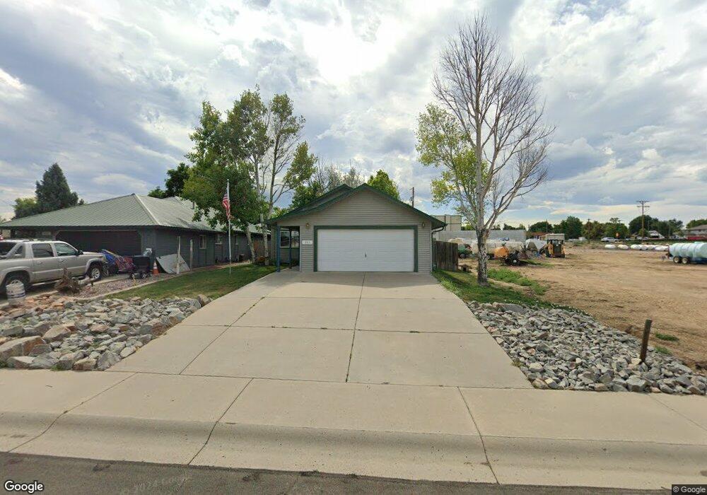
This home is located at 205 2nd St, Mead, CO 80542 and is currently estimated at $496,637, approximately $329 per square foot. 205 2nd St is a home located in Weld County with nearby schools including Mead Elementary School, Mead Middle School, and Mead High School.
Ownership History
Date
Name
Owned For
Owner Type
Purchase Details
Closed on
Sep 30, 2002
Sold by
Wakeford Catherine Ann
Bought by
Wakeford Ivan W and Wakeford Mary P
Current Estimated Value
Home Financials for this Owner
Home Financials are based on the most recent Mortgage that was taken out on this home.
Original Mortgage
$144,000
Interest Rate
6.26%
Purchase Details
Closed on
Sep 5, 2000
Sold by
Buskohl Kathy Lou and Meredith Kathy Lou
Bought by
Timejardine Mary Elaine and Fladung Mary Elaine
Purchase Details
Closed on
Dec 23, 1996
Sold by
Leroy Nazarenus
Bought by
Ferris Terry Wade and Ferris Gwendolyn Kay
Home Financials for this Owner
Home Financials are based on the most recent Mortgage that was taken out on this home.
Original Mortgage
$286,976
Interest Rate
7.6%
Purchase Details
Closed on
Apr 27, 1995
Sold by
Ames Keith J
Bought by
Wakeford Catherine Ann
Purchase Details
Closed on
Apr 26, 1995
Sold by
C J K Ranch
Bought by
Ames Keith J
Create a Home Valuation Report for This Property
The Home Valuation Report is an in-depth analysis detailing your home's value as well as a comparison with similar homes in the area
Home Values in the Area
Average Home Value in this Area
Purchase History
| Date | Buyer | Sale Price | Title Company |
|---|---|---|---|
| Wakeford Ivan W | $180,000 | -- | |
| Timejardine Mary Elaine | -- | -- | |
| Ferris Terry Wade | $90,000 | -- | |
| Wakeford Catherine Ann | $5,000 | -- | |
| Ames Keith J | $2,000 | -- |
Source: Public Records
Mortgage History
| Date | Status | Borrower | Loan Amount |
|---|---|---|---|
| Closed | Wakeford Ivan W | $144,000 | |
| Previous Owner | Ferris Terry Wade | $286,976 |
Source: Public Records
Tax History Compared to Growth
Tax History
| Year | Tax Paid | Tax Assessment Tax Assessment Total Assessment is a certain percentage of the fair market value that is determined by local assessors to be the total taxable value of land and additions on the property. | Land | Improvement |
|---|---|---|---|---|
| 2025 | $1,905 | $25,740 | $6,910 | $18,830 |
| 2024 | $1,905 | $25,740 | $6,910 | $18,830 |
| 2023 | $1,836 | $28,550 | $4,600 | $23,950 |
| 2022 | $1,613 | $22,070 | $4,310 | $17,760 |
| 2021 | $1,645 | $22,700 | $4,430 | $18,270 |
| 2020 | $1,448 | $20,950 | $3,860 | $17,090 |
| 2019 | $1,445 | $20,950 | $3,860 | $17,090 |
| 2018 | $1,039 | $17,240 | $3,170 | $14,070 |
| 2017 | $1,002 | $17,240 | $3,170 | $14,070 |
| 2016 | $592 | $11,770 | $1,990 | $9,780 |
| 2015 | $574 | $11,770 | $1,990 | $9,780 |
| 2014 | $495 | $5,090 | $1,000 | $4,090 |
Source: Public Records
Map
Nearby Homes
- 126 2nd St
- 241 Main St
- 15283 Ypsilon Cir
- 16084 Cinnamon Cir
- 0 Welker Ave Unit 1039203
- 16071 Ginger Ave
- 3326 Dryden Place
- 16737 Lake Helen Blvd
- 15303 Ypsilon Cir
- 16815 Mckay Dr
- 3692 Deacon Dr
- 16873 Ballinger Cir
- 16860 Mckay Dr
- 15287 Ypsilon Cir
- 16836 Roberts St
- 15285 Ypsilon Cir
- 3425 Ballinger Cir
- Jackson Plan at Highlands Preserve
- Gunnison Plan at Highlands Preserve
- Lakewood II Plan at Highlands Preserve