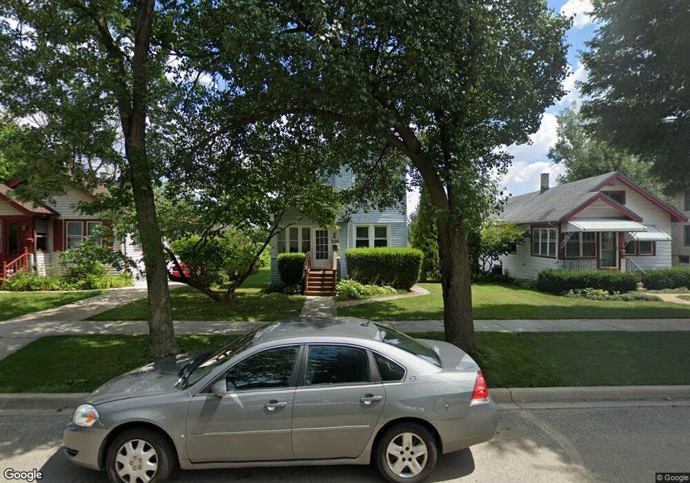
205 9th Ave La Grange, IL 60525
Estimated Value: $293,000 - $623,000
2
Beds
2
Baths
1,607
Sq Ft
$294/Sq Ft
Est. Value
About This Home
This home is located at 205 9th Ave, La Grange, IL 60525 and is currently estimated at $472,009, approximately $293 per square foot. 205 9th Ave is a home located in Cook County with nearby schools including Cossitt Avenue Elementary School, Park Junior High School, and Lyons Township High School.
Ownership History
Date
Name
Owned For
Owner Type
Purchase Details
Closed on
Jun 30, 1998
Sold by
Hatfield Donald J and Hatfield Kristen M
Bought by
Williams Mark J
Current Estimated Value
Home Financials for this Owner
Home Financials are based on the most recent Mortgage that was taken out on this home.
Original Mortgage
$132,000
Outstanding Balance
$27,366
Interest Rate
7.15%
Mortgage Type
VA
Estimated Equity
$444,643
Purchase Details
Closed on
Jan 5, 1994
Sold by
Foltz Philip T and Foltz Philip T
Bought by
Hatfield Donald J and Hatfield Kristen M
Create a Home Valuation Report for This Property
The Home Valuation Report is an in-depth analysis detailing your home's value as well as a comparison with similar homes in the area
Home Values in the Area
Average Home Value in this Area
Purchase History
| Date | Buyer | Sale Price | Title Company |
|---|---|---|---|
| Williams Mark J | $130,000 | -- | |
| Hatfield Donald J | -- | -- |
Source: Public Records
Mortgage History
| Date | Status | Borrower | Loan Amount |
|---|---|---|---|
| Open | Williams Mark J | $132,000 |
Source: Public Records
Tax History Compared to Growth
Tax History
| Year | Tax Paid | Tax Assessment Tax Assessment Total Assessment is a certain percentage of the fair market value that is determined by local assessors to be the total taxable value of land and additions on the property. | Land | Improvement |
|---|---|---|---|---|
| 2024 | $6,619 | $30,001 | $3,413 | $26,588 |
| 2023 | $5,544 | $30,001 | $3,413 | $26,588 |
| 2022 | $5,544 | $22,304 | $3,019 | $19,285 |
| 2021 | $5,351 | $22,302 | $3,018 | $19,284 |
| 2020 | $5,300 | $22,302 | $3,018 | $19,284 |
| 2019 | $5,799 | $24,449 | $2,756 | $21,693 |
| 2018 | $5,687 | $24,449 | $2,756 | $21,693 |
| 2017 | $5,552 | $24,449 | $2,756 | $21,693 |
| 2016 | $4,772 | $18,805 | $2,362 | $16,443 |
| 2015 | $4,426 | $18,805 | $2,362 | $16,443 |
| 2014 | $4,371 | $18,805 | $2,362 | $16,443 |
| 2013 | $5,159 | $22,156 | $2,362 | $19,794 |
Source: Public Records
Map
Nearby Homes
- 239 9th Ave
- 113 Bluff Ave
- 215 E Elm Ave
- 424 E Maple Ave
- 511 E Cossitt Ave
- 347 S 8th Ave
- 67 Bluff Ave
- 4327 Eberly Ave
- 4313 Eberly Ave
- 148 Sawyer Ave
- 75 6th Ave Unit 102
- 418 Bluff Ave
- 4333 Blanchan Ave
- 4601 Eberly Ave
- 31 Bluff Ave
- 75 E Harris Ave Unit 1E
- 4167 Eberly Ave
- 17 S Madison Ave
- 4155 Eberly Ave
- 28 6th Ave Unit 1D