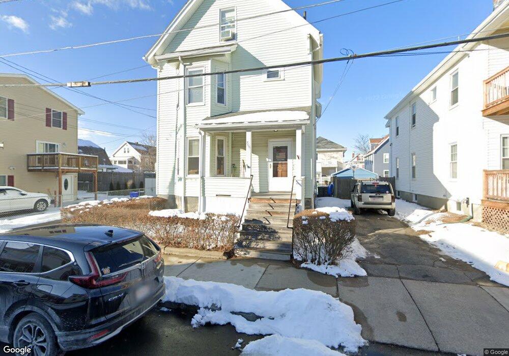
205 Adams St Malden, MA 02148
Edgeworth NeighborhoodEstimated Value: $976,000 - $1,227,000
4
Beds
2
Baths
2,620
Sq Ft
$407/Sq Ft
Est. Value
About This Home
This home is located at 205 Adams St, Malden, MA 02148 and is currently estimated at $1,066,323, approximately $406 per square foot. 205 Adams St is a home located in Middlesex County with nearby schools including Malden High School, Mystic Valley Regional Charter School, and Cheverus Catholic School.
Ownership History
Date
Name
Owned For
Owner Type
Purchase Details
Closed on
Jul 1, 1999
Sold by
Cullen Geraldine and Murphy Roberta L
Bought by
Cucuzza Anthony and Knox Michael F
Current Estimated Value
Home Financials for this Owner
Home Financials are based on the most recent Mortgage that was taken out on this home.
Original Mortgage
$242,000
Interest Rate
7.19%
Mortgage Type
Purchase Money Mortgage
Create a Home Valuation Report for This Property
The Home Valuation Report is an in-depth analysis detailing your home's value as well as a comparison with similar homes in the area
Home Values in the Area
Average Home Value in this Area
Purchase History
| Date | Buyer | Sale Price | Title Company |
|---|---|---|---|
| Cucuzza Anthony | $255,000 | -- |
Source: Public Records
Mortgage History
| Date | Status | Borrower | Loan Amount |
|---|---|---|---|
| Open | Cucuzza Anthony | $215,000 | |
| Closed | Cucuzza Anthony | $242,000 |
Source: Public Records
Tax History Compared to Growth
Tax History
| Year | Tax Paid | Tax Assessment Tax Assessment Total Assessment is a certain percentage of the fair market value that is determined by local assessors to be the total taxable value of land and additions on the property. | Land | Improvement |
|---|---|---|---|---|
| 2025 | $100 | $885,000 | $293,400 | $591,600 |
| 2024 | $9,744 | $833,500 | $277,100 | $556,400 |
| 2023 | $9,445 | $774,800 | $252,600 | $522,200 |
| 2022 | $9,054 | $733,100 | $228,200 | $504,900 |
| 2021 | $9,394 | $764,400 | $203,700 | $560,700 |
| 2020 | $9,079 | $717,700 | $196,800 | $520,900 |
| 2019 | $8,481 | $639,100 | $187,400 | $451,700 |
| 2018 | $8,183 | $580,800 | $154,800 | $426,000 |
| 2017 | $7,853 | $554,200 | $148,700 | $405,500 |
| 2016 | $7,363 | $485,700 | $136,500 | $349,200 |
| 2015 | $7,014 | $445,900 | $130,000 | $315,900 |
| 2014 | $6,492 | $403,200 | $118,200 | $285,000 |
Source: Public Records
Map
Nearby Homes
- 29 Watts St Unit 31
- 162 Emerald St
- 174 West St
- 216 Central Ave Unit 218
- 217 Highland Ave Unit 1
- 86 Pinkert St
- 500 Salem St Unit 708
- 159 Central Ave Unit 159
- 124 Grant Ave
- 114 Lawrence St
- 74 Highland Ave
- 0 Fells Avenue Terrace
- 38-40 Russell St
- 8 Cliffside Terrace
- 426 Pleasant St Unit 17
- 426 Pleasant St Unit 2
- 33 Prospect St
- 17 Hubbard St
- 68 Central Ave Unit 306
- 394 Pleasant St Unit 396
- 201 Adams St Unit 203
- 203 Adams St
- 209 Adams St
- 209 Adams St
- 209 Adams St Unit 2
- 209 Adams St Unit 1
- 209 Adams St Unit B
- 215 Adams St
- 215 Adams St Unit 215
- 1223 Fellsway
- 197 Adams St
- 60 Watts St Unit 62
- 60-62 Watts St
- 60-62 Watts St Unit 1
- 60 Watts St Unit 1
- 64 Watts St Unit 66
- 68-70 Watts St
- 210 Adams St Unit 212
- 58 Watts St Unit 1
- 56 Watts St Unit 58