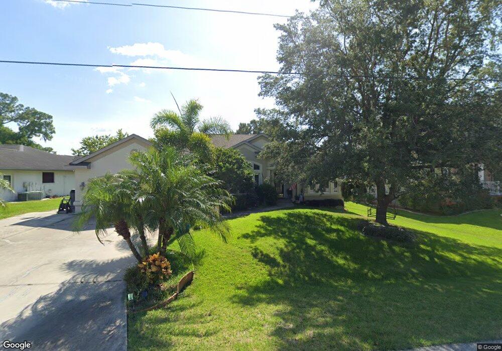
205 Albert Ln Port Charlotte, FL 33954
Estimated Value: $447,133 - $595,000
3
Beds
3
Baths
2,754
Sq Ft
$181/Sq Ft
Est. Value
About This Home
This home is located at 205 Albert Ln, Port Charlotte, FL 33954 and is currently estimated at $499,283, approximately $181 per square foot. 205 Albert Ln is a home located in Charlotte County with nearby schools including Kingsway Elementary School, Port Charlotte Middle School, and Port Charlotte High School.
Ownership History
Date
Name
Owned For
Owner Type
Purchase Details
Closed on
Jul 30, 2001
Sold by
Treder Richard W and Treder Betty M
Bought by
Adamo Thomas and Adamo Penny
Current Estimated Value
Home Financials for this Owner
Home Financials are based on the most recent Mortgage that was taken out on this home.
Original Mortgage
$17,000
Outstanding Balance
$6,651
Interest Rate
7.19%
Estimated Equity
$492,632
Purchase Details
Closed on
Jun 13, 1996
Sold by
Hicks Starling A and Hicks Martha S
Bought by
Treder Richard W and Treder Betty M
Create a Home Valuation Report for This Property
The Home Valuation Report is an in-depth analysis detailing your home's value as well as a comparison with similar homes in the area
Home Values in the Area
Average Home Value in this Area
Purchase History
| Date | Buyer | Sale Price | Title Company |
|---|---|---|---|
| Adamo Thomas | $38,000 | -- | |
| Treder Richard W | $31,000 | -- |
Source: Public Records
Mortgage History
| Date | Status | Borrower | Loan Amount |
|---|---|---|---|
| Open | Adamo Thomas | $17,000 |
Source: Public Records
Tax History Compared to Growth
Tax History
| Year | Tax Paid | Tax Assessment Tax Assessment Total Assessment is a certain percentage of the fair market value that is determined by local assessors to be the total taxable value of land and additions on the property. | Land | Improvement |
|---|---|---|---|---|
| 2023 | $4,190 | $259,060 | $0 | $0 |
| 2022 | $4,052 | $251,515 | $0 | $0 |
| 2021 | $4,059 | $244,189 | $0 | $0 |
| 2020 | $3,996 | $240,818 | $0 | $0 |
| 2019 | $3,885 | $235,404 | $0 | $0 |
| 2018 | $3,600 | $231,015 | $0 | $0 |
| 2017 | $3,570 | $226,263 | $0 | $0 |
| 2016 | $3,556 | $221,609 | $0 | $0 |
| 2015 | $3,564 | $220,069 | $0 | $0 |
| 2014 | $3,533 | $218,322 | $0 | $0 |
Source: Public Records
Map
Nearby Homes
- 249 Hallcrest Terrace
- 268 Wabash Terrace
- 164 Morgan
- 23482 and 23490 Freeport Ave
- 183 Appian St
- 23531 Dunstan Ave
- 23348 Mullins Ave
- 72 Norman St
- 23466 Garrett Ave
- 23338 Duchess Ave
- 428 Blarney St
- 184 Robina St
- 23366 Lehigh Ave
- 230 Viceroy Terrace
- 145 Robina St
- 23510 Rocket Ave
- 23347 Lehigh Ave
- 23438 Nelson Ave
- 23370 Garrison Ave
- 159 Loveland Blvd