205 Amber Ct McDonough, GA 30252
Estimated Value: $312,491 - $332,000
3
Beds
2
Baths
2,077
Sq Ft
$155/Sq Ft
Est. Value
About This Home
This home is located at 205 Amber Ct, McDonough, GA 30252 and is currently estimated at $321,873, approximately $154 per square foot. 205 Amber Ct is a home located in Henry County with nearby schools including Rock Spring Elementary School, Ola Middle School, and Ola High School.
Ownership History
Date
Name
Owned For
Owner Type
Purchase Details
Closed on
Aug 30, 2013
Sold by
Jackson David Frank
Bought by
Moats Ritchie A
Current Estimated Value
Purchase Details
Closed on
May 1, 2000
Sold by
Sumner Const Inc
Bought by
Jackson David F and Jackson Pamela A
Home Financials for this Owner
Home Financials are based on the most recent Mortgage that was taken out on this home.
Original Mortgage
$135,750
Interest Rate
8.14%
Mortgage Type
New Conventional
Create a Home Valuation Report for This Property
The Home Valuation Report is an in-depth analysis detailing your home's value as well as a comparison with similar homes in the area
Home Values in the Area
Average Home Value in this Area
Purchase History
| Date | Buyer | Sale Price | Title Company |
|---|---|---|---|
| Moats Ritchie A | -- | -- | |
| Jackson David F | $142,900 | -- |
Source: Public Records
Mortgage History
| Date | Status | Borrower | Loan Amount |
|---|---|---|---|
| Previous Owner | Jackson David F | $135,750 |
Source: Public Records
Tax History Compared to Growth
Tax History
| Year | Tax Paid | Tax Assessment Tax Assessment Total Assessment is a certain percentage of the fair market value that is determined by local assessors to be the total taxable value of land and additions on the property. | Land | Improvement |
|---|---|---|---|---|
| 2024 | $3,382 | $118,520 | $18,000 | $100,520 |
| 2023 | $3,204 | $129,600 | $14,800 | $114,800 |
| 2022 | $2,870 | $94,080 | $14,800 | $79,280 |
| 2021 | $2,668 | $85,520 | $14,800 | $70,720 |
| 2020 | $2,437 | $75,760 | $14,000 | $61,760 |
| 2019 | $2,268 | $68,600 | $14,000 | $54,600 |
| 2018 | $2,094 | $61,240 | $12,000 | $49,240 |
| 2016 | $1,947 | $55,960 | $10,000 | $45,960 |
| 2015 | $1,604 | $46,040 | $8,000 | $38,040 |
| 2014 | $1,507 | $43,240 | $8,000 | $35,240 |
Source: Public Records
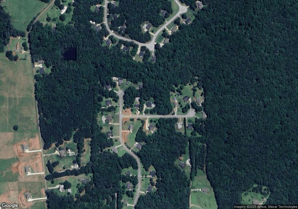
Map
Nearby Homes
- 209 Amber Ct
- 106 Loam Dr
- 41 Giles Dr
- 180 Mackey Rd
- 170 Mackey Rd
- 227 Aves Ct
- 0 Mackey Rd Unit 10539146
- 2082 Stroud Rd
- 518 Gallantry Trail
- 6830 Peeksville Rd
- 88 Maddox Dr
- 78 Maddox Dr
- 68 Maddox Dr
- 58 Maddox Dr
- 2001 Jefferson Way
- 1908 Munford Place
- 507 Judith Ct Unit 3
- 1120 Stroud Rd
- 1100 Stroud Rd
- 415 Pamela Ct
- 0 Amber Ct Unit 3172676
- 0 Amber Ct Unit 8556449
- 0 Amber Ct Unit 3096065
- 0 Amber Ct
- 207 Amber Ct
- 203 Amber Ct
- 134 Makayla Dr
- 202 Amber Ct
- 122 Makayla Dr
- 206 Amber Ct
- 135 Makayla Dr
- 139 Loam Dr
- 143 Loam Dr
- 118 Makayla Dr
- 129 Makayla Dr
- 129 Makayla Dr Unit 8
- 211 Amber Ct
- 125 Makayla Dr
- 133 Makayla Dr
- 210 Amber Ct