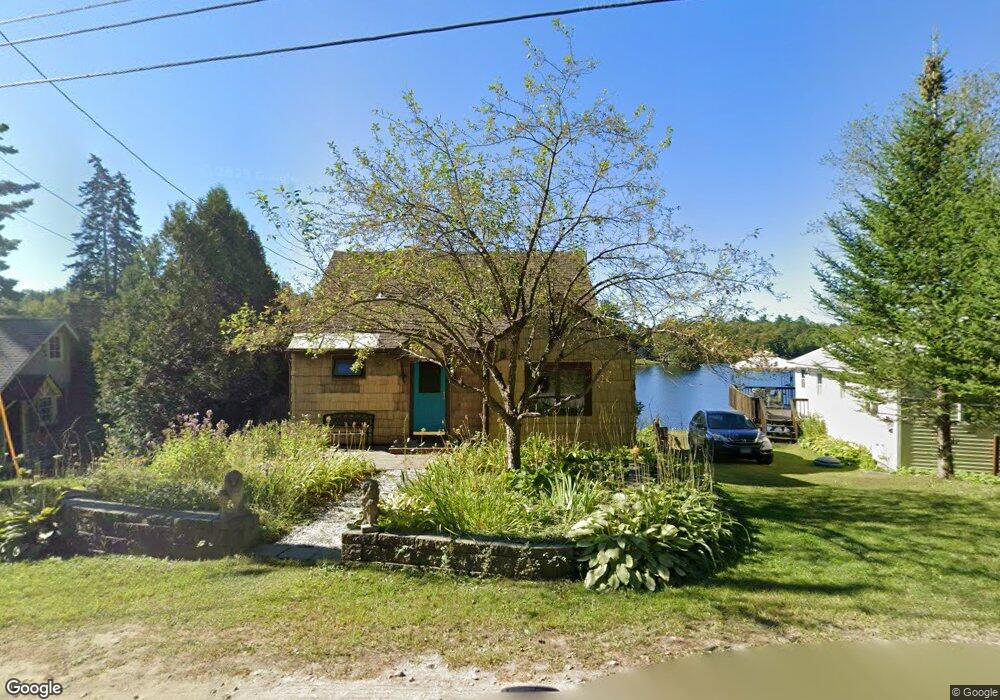
205 Ashmere Rd Hinsdale, MA 01235
Estimated Value: $406,000 - $664,000
2
Beds
1
Bath
1,082
Sq Ft
$446/Sq Ft
Est. Value
About This Home
This home is located at 205 Ashmere Rd, Hinsdale, MA 01235 and is currently estimated at $482,107, approximately $445 per square foot. 205 Ashmere Rd is a home located in Berkshire County with nearby schools including Wahconah Regional High School.
Ownership History
Date
Name
Owned For
Owner Type
Purchase Details
Closed on
May 24, 2017
Sold by
Glasser Randa and Glasser Randy
Bought by
Ward Christopher and Malone Dixie
Current Estimated Value
Home Financials for this Owner
Home Financials are based on the most recent Mortgage that was taken out on this home.
Original Mortgage
$90,000
Outstanding Balance
$74,805
Interest Rate
4.08%
Mortgage Type
New Conventional
Estimated Equity
$407,302
Purchase Details
Closed on
Aug 30, 2012
Sold by
Shogren Charles H and Shogren Betty S
Bought by
Glasset Randy and Glasser Robert
Purchase Details
Closed on
Jul 31, 1995
Sold by
Corradi Charles A
Bought by
Shogren Charles H and Shogren Berry S
Home Financials for this Owner
Home Financials are based on the most recent Mortgage that was taken out on this home.
Original Mortgage
$60,000
Interest Rate
7.56%
Mortgage Type
Purchase Money Mortgage
Create a Home Valuation Report for This Property
The Home Valuation Report is an in-depth analysis detailing your home's value as well as a comparison with similar homes in the area
Home Values in the Area
Average Home Value in this Area
Purchase History
| Date | Buyer | Sale Price | Title Company |
|---|---|---|---|
| Ward Christopher | $321,000 | -- | |
| Glasset Randy | $325,000 | -- | |
| Shogren Charles H | $91,900 | -- |
Source: Public Records
Mortgage History
| Date | Status | Borrower | Loan Amount |
|---|---|---|---|
| Open | Ward Christopher | $90,000 | |
| Previous Owner | Shogren Charles H | $175,000 | |
| Previous Owner | Shogren Charles H | $35,000 | |
| Previous Owner | Shogren Charles H | $56,500 | |
| Previous Owner | Shogren Charles H | $60,000 |
Source: Public Records
Tax History Compared to Growth
Tax History
| Year | Tax Paid | Tax Assessment Tax Assessment Total Assessment is a certain percentage of the fair market value that is determined by local assessors to be the total taxable value of land and additions on the property. | Land | Improvement |
|---|---|---|---|---|
| 2025 | $4,618 | $414,200 | $213,300 | $200,900 |
| 2024 | $4,491 | $408,600 | $213,300 | $195,300 |
| 2023 | $3,265 | $242,000 | $91,000 | $151,000 |
| 2022 | $3,326 | $243,500 | $91,000 | $152,500 |
| 2021 | $2,968 | $207,100 | $88,900 | $118,200 |
| 2020 | $2,736 | $207,100 | $88,900 | $118,200 |
| 2019 | $2,680 | $203,200 | $92,600 | $110,600 |
| 2017 | $2,795 | $198,400 | $92,600 | $105,800 |
| 2016 | $2,659 | $198,400 | $92,600 | $105,800 |
| 2015 | $2,343 | $198,200 | $92,500 | $105,700 |
| 2014 | $2,528 | $198,000 | $97,600 | $100,400 |
Source: Public Records
Map
Nearby Homes
- 30 Cove Ln
- 30 Eagle St
- 65 Canterbury Ln
- 715 Peru Rd
- 14 & 15 George Schnopp Rd
- 86 Hickingbotham Rd
- 469 Maple St
- 18 Andes Rd
- 396 Maple St
- 382 Maple St
- 4 Birch Hill Rd
- Lot 5 Watson Rd
- 0 Forest Hill Dr Lots 8 & 9 --
- 88 E Windsor Rd
- 1 Maple St
- 103 Holmes Rd
- 48 Curtis St
- 9 Greylock Cir
- 190 Fox Rd
- 7 Garnet Mountain Ln