Estimated Value: $190,000 - $203,000
3
Beds
1
Bath
1,092
Sq Ft
$180/Sq Ft
Est. Value
About This Home
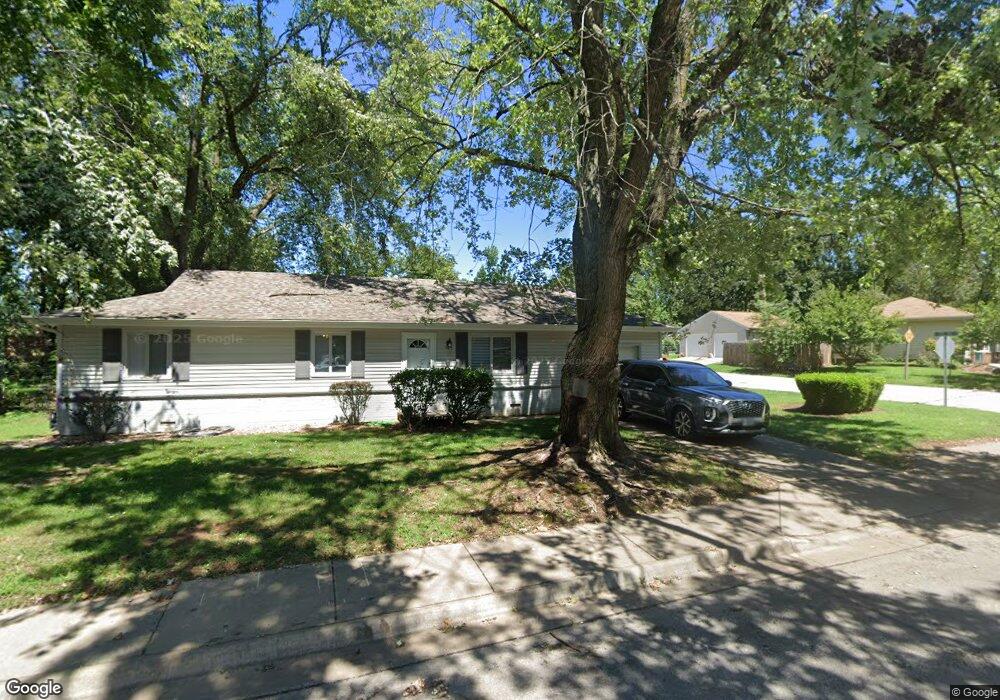
This home is located at 205 Aspen Dr, Nixa, MO 65714 and is currently estimated at $196,957, approximately $180 per square foot. 205 Aspen Dr is a home with nearby schools including Summit Intermediate School, High Pointe Elementary School, and Nixa Junior High School.
Ownership History
Date
Name
Owned For
Owner Type
Purchase Details
Closed on
Sep 1, 2006
Sold by
Coffer Amanda and Coffer Justin
Bought by
Holman Anthony Lee
Current Estimated Value
Home Financials for this Owner
Home Financials are based on the most recent Mortgage that was taken out on this home.
Original Mortgage
$85,000
Outstanding Balance
$49,901
Interest Rate
6.64%
Mortgage Type
New Conventional
Estimated Equity
$147,056
Purchase Details
Closed on
Jan 28, 2005
Sold by
Haile Jack E and Haile Judy A
Bought by
Coffer Amanda and Coffer Justin
Home Financials for this Owner
Home Financials are based on the most recent Mortgage that was taken out on this home.
Original Mortgage
$76,892
Interest Rate
5.85%
Mortgage Type
FHA
Create a Home Valuation Report for This Property
The Home Valuation Report is an in-depth analysis detailing your home's value as well as a comparison with similar homes in the area
Home Values in the Area
Average Home Value in this Area
Purchase History
| Date | Buyer | Sale Price | Title Company |
|---|---|---|---|
| Holman Anthony Lee | -- | None Available | |
| Coffer Amanda | -- | None Available |
Source: Public Records
Mortgage History
| Date | Status | Borrower | Loan Amount |
|---|---|---|---|
| Open | Holman Anthony Lee | $85,000 | |
| Previous Owner | Coffer Amanda | $76,892 |
Source: Public Records
Tax History
| Year | Tax Paid | Tax Assessment Tax Assessment Total Assessment is a certain percentage of the fair market value that is determined by local assessors to be the total taxable value of land and additions on the property. | Land | Improvement |
|---|---|---|---|---|
| 2025 | $1,093 | $18,660 | -- | -- |
| 2024 | $1,093 | $17,540 | -- | -- |
| 2023 | $1,093 | $17,540 | $0 | $0 |
| 2022 | $976 | $15,640 | $0 | $0 |
| 2021 | $976 | $15,640 | $0 | $0 |
| 2020 | $870 | $13,300 | $0 | $0 |
| 2019 | $870 | $13,300 | $0 | $0 |
| 2018 | $754 | $12,370 | $0 | $0 |
| 2017 | $754 | $12,370 | $0 | $0 |
| 2016 | $742 | $12,370 | $0 | $0 |
| 2015 | $743 | $12,370 | $12,370 | $0 |
| 2014 | $723 | $12,330 | $0 | $0 |
| 2013 | $7 | $12,330 | $0 | $0 |
| 2011 | $7 | $24,660 | $0 | $0 |
Source: Public Records
Map
Nearby Homes
- 407 Slim Wilson Blvd
- 717 Hillcrest Ave
- 701 Hillcrest Ave
- 607 Aspen Dr
- 107 Northview Rd
- 911 Brooke Ct
- 603 E Thorn Hill Dr
- 102 W Bennett St
- 701 Bennett Ct
- 606 E Katella Cir
- 410 N Prospect St
- 405 N Missouri Ave
- Lot 11 the Village of Cloverhill
- Lot 12 the Village of Cloverhill
- Lot 24 the Village of Cloverhill
- Lot 22 the Village of Cloverhill
- Lot 30 the Village of Cloverhill
- 1203 N Bay Meadow Ct
- 1205 N Bay Meadow Ct
- 708 Striper Dr
- 203 Aspen Dr
- 301 Aspen Dr
- 801 Lone Oak Cir
- 0 Aspen Dr Unit 10817387
- Tbd Aspen Dr
- 201 Aspen Dr
- 300 Aspen Dr
- 720 Prospect St
- 717 Lone Oak Ave
- 803 Lone Oak Cir
- 303 Aspen Dr
- 300 Lone Oak Cir
- 302 Aspen Dr
- 109 Aspen Cir
- 718 Prospect St
- 715 Lone Oak Ave
- 111 Aspen Cir
- 805 Lone Oak Cir
- 716 Lone Oak Ave
- 302 Lone Oak Cir
Your Personal Tour Guide
Ask me questions while you tour the home.