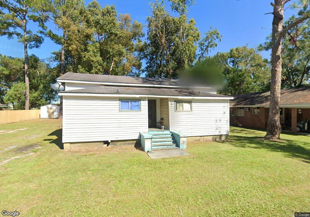
205 Baltimore Ave Waycross, GA 31501
4
Beds
4
Baths
1,793
Sq Ft
10,019
Sq Ft Lot
About This Home
This home is located at 205 Baltimore Ave, Waycross, GA 31501. 205 Baltimore Ave is a home located in Ware County with nearby schools including Williams Heights Elementary School, Waycross Middle School, and Ware County High School.
Ownership History
Date
Name
Owned For
Owner Type
Purchase Details
Closed on
Jun 28, 2019
Sold by
Strickland Rental Properties Llc
Bought by
Crawford Adam D and Crawford Tabitha
Purchase Details
Closed on
Apr 29, 2016
Sold by
Joyce Jeffrey A
Bought by
Strickland Rental Properties L
Purchase Details
Closed on
Oct 29, 2004
Sold by
Clark Sonya Bennett Bc 2-25-05
Bought by
Dreamwood Properties Llc
Purchase Details
Closed on
Aug 1, 1996
Sold by
Donald T Delavergne
Bought by
Clark Sonya Bennett
Purchase Details
Closed on
Feb 27, 1990
Bought by
Donald T Delavergne
Purchase Details
Closed on
May 14, 1986
Create a Home Valuation Report for This Property
The Home Valuation Report is an in-depth analysis detailing your home's value as well as a comparison with similar homes in the area
Home Values in the Area
Average Home Value in this Area
Purchase History
| Date | Buyer | Sale Price | Title Company |
|---|---|---|---|
| Crawford Adam D | $283,000 | -- | |
| Strickland Rental Properties L | $130,000 | -- | |
| Dreamwood Properties Llc | $350,000 | -- | |
| Clark Sonya Bennett | $35,000 | -- | |
| Donald T Delavergne | -- | -- | |
| -- | $50,000 | -- |
Source: Public Records
Tax History Compared to Growth
Tax History
| Year | Tax Paid | Tax Assessment Tax Assessment Total Assessment is a certain percentage of the fair market value that is determined by local assessors to be the total taxable value of land and additions on the property. | Land | Improvement |
|---|---|---|---|---|
| 2024 | $1,642 | $25,195 | $4,004 | $21,191 |
| 2023 | $869 | $26,607 | $2,537 | $24,070 |
| 2022 | $1,060 | $26,607 | $2,537 | $24,070 |
| 2021 | $928 | $21,459 | $2,537 | $18,922 |
| 2020 | $1,054 | $24,173 | $2,537 | $21,636 |
| 2019 | $1,074 | $24,302 | $4,374 | $19,928 |
| 2018 | $1,053 | $23,590 | $4,374 | $19,216 |
| 2017 | $1,199 | $23,590 | $4,374 | $19,216 |
| 2016 | $1,199 | $27,505 | $4,374 | $23,131 |
| 2015 | $1,208 | $27,504 | $4,374 | $23,131 |
| 2014 | $1,206 | $27,504 | $4,374 | $23,131 |
| 2013 | -- | $27,053 | $4,373 | $22,680 |
Source: Public Records
Map
Nearby Homes
- 807 College St
- 511 Richmond Ave
- 1101 Cherokee Dr
- 506 Magnolia Dr
- 1405 Grove Ave
- 808 Satilla Blvd
- 415 Dewey St
- 301 Riverside Dr
- .22 Alice St
- 707 Euclid Ave
- 502 Dewey St
- 1701 Satilla Blvd
- 0 Saint Marys Dr Unit (TRACT 2 0.25 ACRES)
- 713 Magnolia Dr
- 1500 Saint Marys Dr
- 706 Cherokee Cir
- 1504 Habersham Dr
- 310 Butler St
- 511 Riverside Dr
- 903 Atlantic Ave
- 207 Baltimore Ave
- 211 Baltimore Ave
- 1206 Screven Ave
- 210 Baltimore Ave
- 204 Baltimore Ave
- 202 Pennsylvania Ave
- 214 Baltimore Ave
- 204 Pennsylvania Ave
- 217 Baltimore Ave
- 804 Screven Ave
- 206 Pennsylvania Ave
- 1003 College St
- 208 Pennsylvania Ave
- 107 Forrest Ave
- 809 College St
- 103 Forrest Ave
- 101 Forest Ave
- 101 Forrest Ave
- 201 Pennsylvania Ave
- 201 Forrest Ave