205 Bay View Dr Point Roberts, WA 98281
Estimated Value: $600,000 - $1,302,000
2
Beds
2
Baths
954
Sq Ft
$833/Sq Ft
Est. Value
About This Home
This home is located at 205 Bay View Dr, Point Roberts, WA 98281 and is currently estimated at $794,720, approximately $833 per square foot. 205 Bay View Dr is a home located in Whatcom County with nearby schools including Point Roberts Primary School, Blaine Middle School, and Blaine High School.
Ownership History
Date
Name
Owned For
Owner Type
Purchase Details
Closed on
Apr 26, 2013
Sold by
Mccredie Ross
Bought by
Mccredie Kristi
Current Estimated Value
Purchase Details
Closed on
Apr 22, 2013
Sold by
Chung Samuel Hongmin
Bought by
Mccredie Kristi
Purchase Details
Closed on
Jul 22, 2005
Sold by
Barnebey Leslie F and Barnebey Steve F
Bought by
Chung Samuel Hongmin
Home Financials for this Owner
Home Financials are based on the most recent Mortgage that was taken out on this home.
Original Mortgage
$408,000
Interest Rate
5.46%
Mortgage Type
Fannie Mae Freddie Mac
Create a Home Valuation Report for This Property
The Home Valuation Report is an in-depth analysis detailing your home's value as well as a comparison with similar homes in the area
Home Values in the Area
Average Home Value in this Area
Purchase History
| Date | Buyer | Sale Price | Title Company |
|---|---|---|---|
| Mccredie Kristi | -- | First American Title Ins | |
| Mccredie Kristi | $600,280 | First American Title Ins | |
| Chung Samuel Hongmin | $510,280 | Whatcom Land Title |
Source: Public Records
Mortgage History
| Date | Status | Borrower | Loan Amount |
|---|---|---|---|
| Previous Owner | Chung Samuel Hongmin | $408,000 |
Source: Public Records
Tax History
| Year | Tax Paid | Tax Assessment Tax Assessment Total Assessment is a certain percentage of the fair market value that is determined by local assessors to be the total taxable value of land and additions on the property. | Land | Improvement |
|---|---|---|---|---|
| 2025 | $5,123 | $642,270 | $383,198 | $259,072 |
| 2024 | $4,830 | $635,913 | $379,418 | $256,495 |
| 2023 | $4,830 | $601,420 | $344,925 | $256,495 |
| 2022 | $4,996 | $549,242 | $315,000 | $234,242 |
| 2021 | $4,975 | $520,997 | $307,648 | $213,349 |
| 2020 | $4,944 | $482,397 | $284,855 | $197,542 |
| 2019 | $4,570 | $462,727 | $273,240 | $189,487 |
| 2018 | $4,558 | $415,987 | $245,640 | $170,347 |
| 2017 | $3,950 | $397,291 | $234,600 | $162,691 |
| 2016 | $3,891 | $389,501 | $230,000 | $159,501 |
| 2015 | $4,139 | $372,917 | $222,203 | $150,714 |
| 2014 | -- | $389,859 | $232,300 | $157,559 |
| 2013 | -- | $373,454 | $223,100 | $150,354 |
Source: Public Records
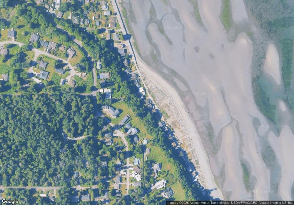
Map
Nearby Homes
- 251 Elizabeth Dr
- 103 Goodman Rd
- 0 15 Whalen Dr
- 19 Whalen Dr
- 0 3 73 Acres Derby Ave
- 2138 Benson Rd
- 0 Deer Rd
- 6 Weasel Run Rd
- 1928 Sanders Ct Unit 2
- 1871 Johnson Rd
- 1 Mill Rd
- 2 Mill Rd
- 2045 Apa Rd
- 2202 Seabright Loop
- 58 Seabright Loop
- 1940 Apa Rd
- 1774 Centennial Place
- 245 Shady Glen Ave
- 2242 Seabright Loop
- 661 Driftwood Ln
- 203 Bay View Dr
- 211 Bay View Dr
- 222 Elizabeth Dr
- 218 Elizabeth Dr
- 228 Elizabeth Dr
- 212 Elizabeth Dr
- 274 Bay View Dr
- 187 Bay View Dr
- 196 Boundary Bay Rd
- 232 Elizabeth Dr
- 181 Bay View Dr
- 262 Elizabeth Dr
- 184 Goodman Rd
- 179 Bay View Dr
- 219 Elizabeth Dr
- 253 Bay View Dr
- 266 Elizabeth Dr
- 232 Boundary Bay Rd
- 215 Elizabeth Dr
- 235 Elizabeth Dr
Your Personal Tour Guide
Ask me questions while you tour the home.