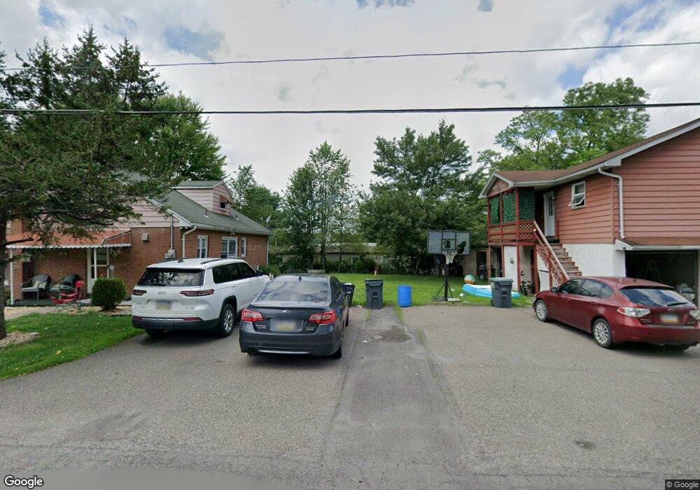
205 Beaver Brook Rd Hazleton, PA 18201
Estimated Value: $187,000 - $241,000
Studio
--
Bath
1,680
Sq Ft
$129/Sq Ft
Est. Value
About This Home
This home is located at 205 Beaver Brook Rd, Hazleton, PA 18201 and is currently estimated at $216,066, approximately $128 per square foot. 205 Beaver Brook Rd is a home located in Luzerne County with nearby schools including Hazleton Area High School, Mcadoo Catholic Elementary School, and Holy Family Academy.
Ownership History
Date
Name
Owned For
Owner Type
Purchase Details
Closed on
Aug 19, 2019
Sold by
Robbins Aurora B
Bought by
Valenzuela Dume Phillips M
Current Estimated Value
Home Financials for this Owner
Home Financials are based on the most recent Mortgage that was taken out on this home.
Original Mortgage
$157,102
Outstanding Balance
$136,089
Interest Rate
3.7%
Mortgage Type
FHA
Estimated Equity
$79,977
Purchase Details
Closed on
Jun 7, 2004
Bought by
Robbins Aurora B
Create a Home Valuation Report for This Property
The Home Valuation Report is an in-depth analysis detailing your home's value as well as a comparison with similar homes in the area
Home Values in the Area
Average Home Value in this Area
Purchase History
| Date | Buyer | Sale Price | Title Company |
|---|---|---|---|
| Valenzuela Dume Phillips M | $160,000 | Toma Abstract Inc | |
| Robbins Aurora B | $126,500 | -- |
Source: Public Records
Mortgage History
| Date | Status | Borrower | Loan Amount |
|---|---|---|---|
| Open | Valenzuela Dume Phillips M | $157,102 |
Source: Public Records
Tax History
| Year | Tax Paid | Tax Assessment Tax Assessment Total Assessment is a certain percentage of the fair market value that is determined by local assessors to be the total taxable value of land and additions on the property. | Land | Improvement |
|---|---|---|---|---|
| 2026 | $3,306 | $155,300 | $32,000 | $123,300 |
| 2025 | $3,159 | $155,300 | $32,000 | $123,300 |
| 2024 | $3,030 | $155,300 | $32,000 | $123,300 |
| 2023 | $2,971 | $155,300 | $32,000 | $123,300 |
| 2022 | $2,942 | $155,300 | $32,000 | $123,300 |
| 2021 | $2,852 | $155,300 | $32,000 | $123,300 |
| 2020 | $2,801 | $155,300 | $32,000 | $123,300 |
| 2019 | $2,684 | $155,300 | $32,000 | $123,300 |
| 2018 | $2,582 | $155,300 | $32,000 | $123,300 |
| 2017 | $2,526 | $155,300 | $32,000 | $123,300 |
| 2016 | -- | $155,300 | $32,000 | $123,300 |
| 2015 | $1,912 | $155,300 | $32,000 | $123,300 |
| 2014 | $1,912 | $155,300 | $32,000 | $123,300 |
Source: Public Records
Map
Nearby Homes
- 16 N Hancock St
- 0 4th St
- 0 Tresckow Rd
- 10 Center St
- 25 James St
- 424 Kiefer Ave
- 347 Muir Ave
- 155 Coxe St
- 707 Muir Ave
- 0 Mountain Top Terrace
- 0 Mountain Top Terrace Unit LotWP001 16175658
- Lot 46 Mountain Laurel Dr
- 14 Nicole Ln
- 113 Johns Ave
- 193 S Cedar St
- 812 Old St
- 325 E Elm St
- 101 S Wyoming St
- 532 Buck Mountain Blvd
- 418 E Mine St
- 326 Coal St
- 209 Beaver Brook Rd
- 314 Coal St
- 199 Beaver Brook Rd
- 211 Beaver Brook Rd
- 340 Coal St
- 204 Beaver Brook Rd
- 213 Beaver Brook Rd
- 215 Beaver Brook Rd
- 197 Beaver Brook Rd
- 217 Beaver Brook Rd
- 450 Bonn Ct
- 219 Beaver Brook Rd
- 221 Beaver Brook Rd
- 341 Coal St
- 344 Coal St
- 343 Coal St
- 189 Beaver Brook Rd
- 188 Beaver Brook Rd
- 3 E Lower St
Your Personal Tour Guide
Ask me questions while you tour the home.