205 Black Rd Statesville, NC 28677
Estimated Value: $323,000 - $433,000
3
Beds
3
Baths
1,980
Sq Ft
$193/Sq Ft
Est. Value
About This Home
This home is located at 205 Black Rd, Statesville, NC 28677 and is currently estimated at $381,646, approximately $192 per square foot. 205 Black Rd is a home located in Iredell County with nearby schools including Celeste Henkel Elementary School, West Iredell Middle School, and West Iredell High School.
Ownership History
Date
Name
Owned For
Owner Type
Purchase Details
Closed on
Oct 16, 2014
Sold by
Benfield Richard Eugene and Benfield Dawn C
Bought by
Bingman James and Benfield Samantha
Current Estimated Value
Home Financials for this Owner
Home Financials are based on the most recent Mortgage that was taken out on this home.
Original Mortgage
$90,000
Outstanding Balance
$69,175
Interest Rate
4.17%
Mortgage Type
Credit Line Revolving
Estimated Equity
$312,471
Purchase Details
Closed on
Apr 1, 1989
Purchase Details
Closed on
Sep 1, 1988
Purchase Details
Closed on
Jun 1, 1956
Create a Home Valuation Report for This Property
The Home Valuation Report is an in-depth analysis detailing your home's value as well as a comparison with similar homes in the area
Home Values in the Area
Average Home Value in this Area
Purchase History
| Date | Buyer | Sale Price | Title Company |
|---|---|---|---|
| Bingman James | $51,000 | None Available | |
| -- | $25,000 | -- | |
| -- | -- | -- | |
| -- | -- | -- |
Source: Public Records
Mortgage History
| Date | Status | Borrower | Loan Amount |
|---|---|---|---|
| Open | Bingman James | $90,000 |
Source: Public Records
Tax History Compared to Growth
Tax History
| Year | Tax Paid | Tax Assessment Tax Assessment Total Assessment is a certain percentage of the fair market value that is determined by local assessors to be the total taxable value of land and additions on the property. | Land | Improvement |
|---|---|---|---|---|
| 2024 | $1,694 | $276,940 | $96,720 | $180,220 |
| 2023 | $1,694 | $276,940 | $96,720 | $180,220 |
| 2022 | $1,272 | $193,720 | $58,030 | $135,690 |
| 2021 | $1,272 | $193,720 | $58,030 | $135,690 |
| 2020 | $1,272 | $193,720 | $58,030 | $135,690 |
| 2019 | $1,252 | $193,720 | $58,030 | $135,690 |
| 2018 | $1,127 | $179,950 | $58,030 | $121,920 |
| 2017 | $1,127 | $179,950 | $58,030 | $121,920 |
| 2016 | $1,127 | $179,950 | $58,030 | $121,920 |
| 2015 | $1,127 | $179,950 | $58,030 | $121,920 |
| 2014 | $1,118 | $192,090 | $64,010 | $128,080 |
Source: Public Records
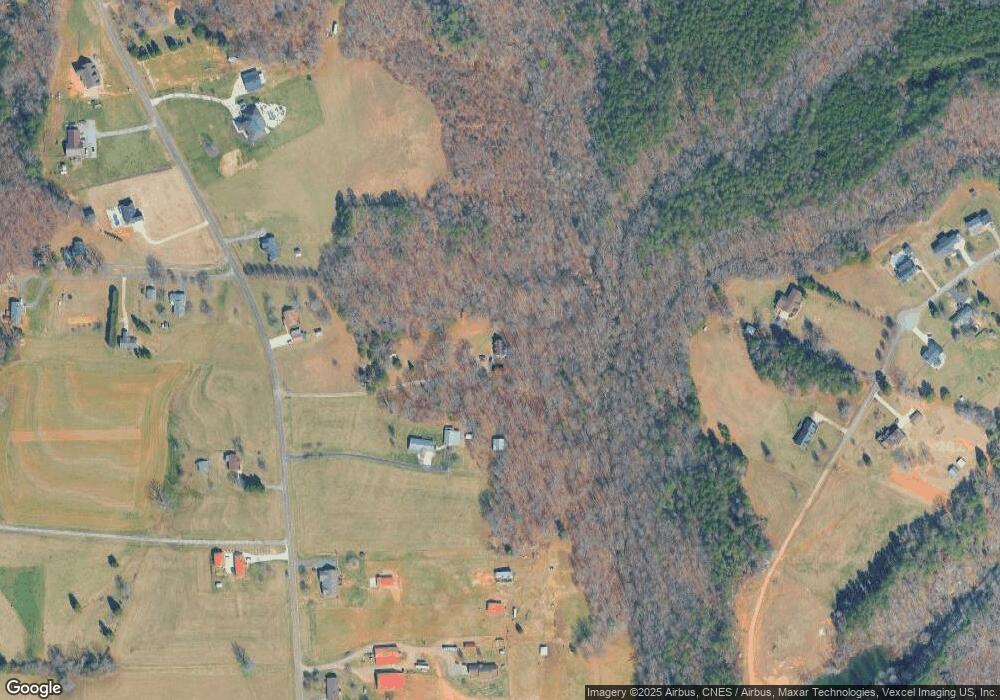
Map
Nearby Homes
- 167 Angel Oaks Dr
- 1384 Old Mountain Rd
- 1144 Old Mountain Rd
- 173 Backcreek Ln
- 109 Gatwick Ct
- 103 Dublin Ct
- 270 Lewis Ferry Rd
- 130 Greenwich Dr
- 115 Three Oaks Ln
- 00001 Buffalo Shoals Rd
- 122 Blueberry Ln
- 1197 Eufola Rd
- 108 Big Tree Dr
- 0 Carriage Rd
- 3119 Hickory Hwy
- 123 Buffalo Creek Dr
- 141 Pounders Ridge Ln
- 178 Old Airport Rd
- 2844 Hickory Hwy
- 000 Fonda Rd
- 217 Black Rd
- 197 Black Rd
- 177 Black Rd
- 235 Black Rd
- 216 Black Rd
- 212 Pleasant Dr
- 212 Pleasant Dr Unit 17
- 226 Pleasant Dr
- 249 Black Rd
- 192 Black Rd
- 167 Black Rd
- 232 Black Rd
- 202 Pleasant Dr Unit 18
- 165 Black Rd
- 194 Black Rd
- 253 Black Rd
- 261 Black Rd
- 219 Pleasant Dr
- 103 Green Leaf Ct
- 199 Angel Oaks Dr